 Hiking St. Thomas Ghost Town
Lake Mead
Overview
|
Wed 60 | 45 |
Thu 57 | 37 |
Fri 56 | 37 |
Sat 60 | 32 |
Sun 66 | 37 |
| View Full Weather Details | ||||
|
Wed 60 | 45 |
Thu 57 | 37 |
Fri 56 | 37 |
Sat 60 | 32 |
Sun 66 | 37 |
| View Full Weather Details | ||||
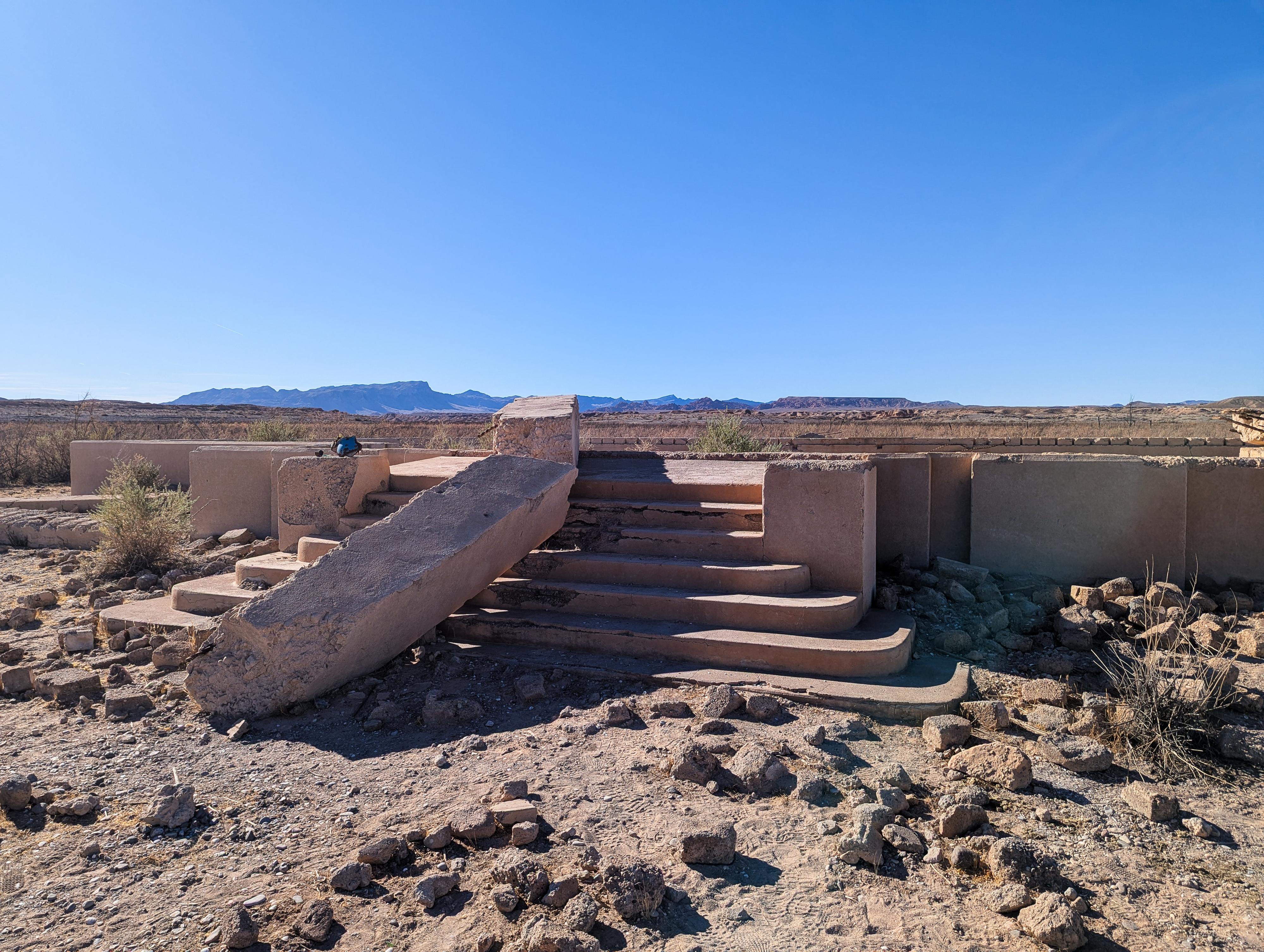
St. Thomas is a ghost town that was submerged by Lake Meade for decades. Droughts in recent years have left the town exposed again.
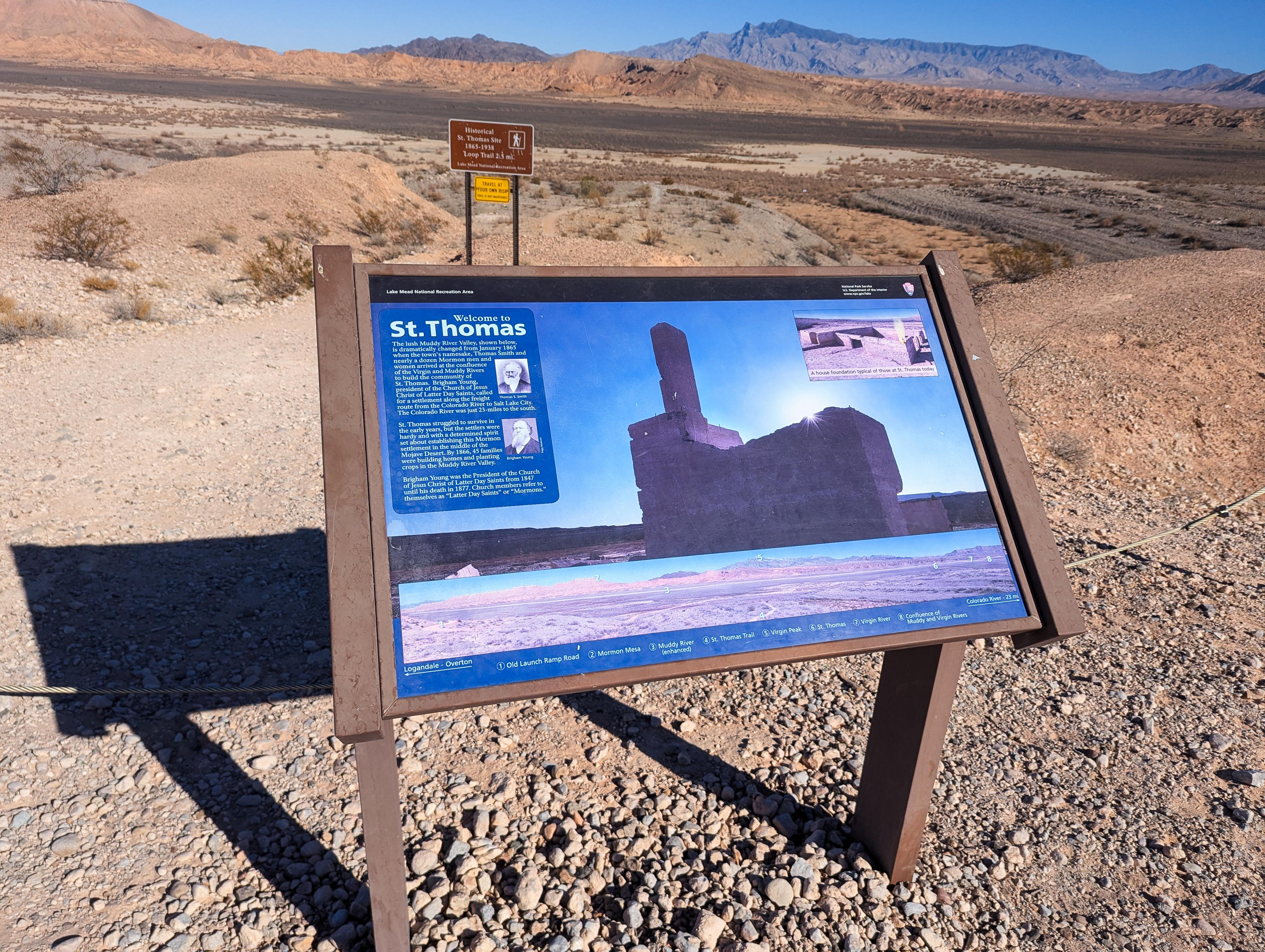
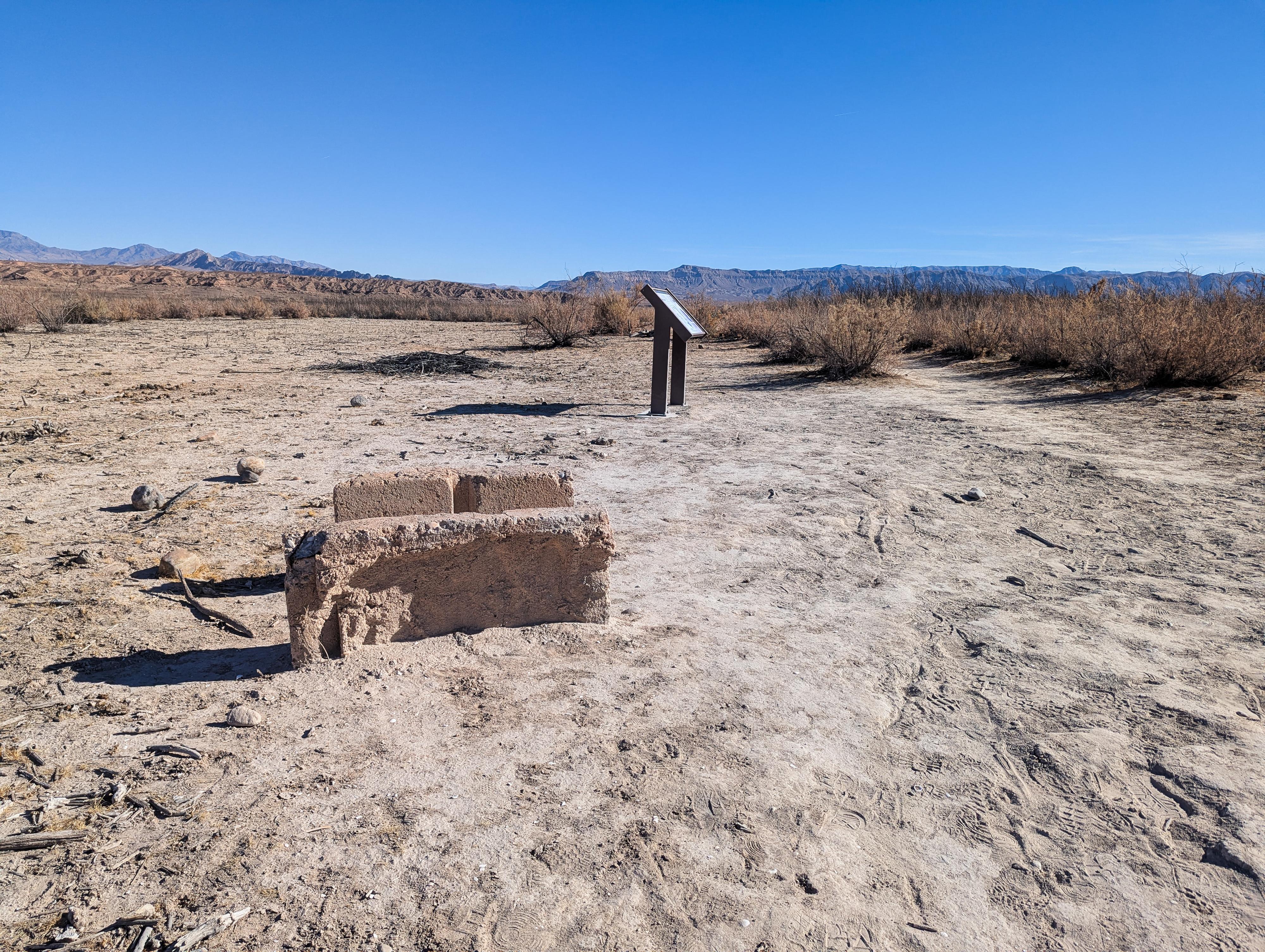
This was a surprisingly interesting hike for our family. The town only has foundations remaining, but the National Park Service has installed many signs along the way with information about the old town and its history. I expected our 7-year-old might find the hike a little dry and boring, but we all found it quite fascinating.
After the departure of the Mormon settlers, the town attracted other pioneers, miners, and ranchers, who rebuilt the community and continued its agricultural and trade economy. St. Thomas thrived in the early 20th century, especially with the rise of tourism and increased river traffic along the Colorado River. It became a supply stop for those exploring the nearby Valley of Fire and other natural attractions. The town boasted a school, post office, and businesses that served its residents and visitors. However, St. Thomas’s fate would take a dramatic turn with the construction of the Hoover Dam in the 1930s.
The dam's creation led to the formation of Lake Mead, and St. Thomas was in the path of the rising waters. Residents were forced to relocate, and the town was submerged by 1938. For decades, the site remained underwater, a ghost town lost to the lake. However, periods of drought in the late 20th and early 21st centuries have exposed the ruins of the once-thriving settlement.
St. Thomas Cemetery: Before the flood water submerged the town, the cemetery was re-located to near Overton. We found the visit to the cemetery, after visiting the town, quite interesting as well. Be careful! Some mapping application DO NOT give correct directions. To reach the cemetery from the St. Thomas trailhead, go back to the paved road and reset your odometer.
Follow the paved road (NV-169) north for 7.1 to Magnasite Rd. There is a road sign here indicating St. Thomas Cemetery, but it is easy to miss. Turn left (west) onto the dirt road (36.520753, -114.429416) that appears to go to a house, but skirts the house and continues up a hill to the cemetery. This road does not have a gate on it. Some mapping applications have you turn into a driveway north of the true access road that is gated and signed no trespassing. If you see a gate or no trespassing sign, you are in the wrong spot.
Getting There
From the town of Overton, head south on NV-169 for about 9 miles to the entrance station at Lake Mead. About 0.1 miles past the entrance station, turn left onto the good, graded dirt road signed for St. Thomas. Follow the road 3.5 to it's end and the trailhead. Just before the end of the road is a junction, go right at the junction.
Route
The park service labels this an unmaintained trail, but it is well-defined, easy to follow, and has informational signs, so I am not sure how unmaintained it is! From the trailhead, follow the trail as it descends to the lake bed and the first informational sign. One of the things we found interesting was all the seashells along the trail in this section. They are shells along most of the trail, but seem to be in higher concentration where the lake levels were relatively shallow for a long period of time.
Once down the small descent, the walking is flat. Follow the main trail. It is about 0.6 miles from the trailhead to the town. There are informational signs at the corner and the first major foundations are seen.
The old streets of the town are still somewhat visible. The most common path, and the one with informational signs, is to walk a loop, heading east and passing many old foundations, including the old grocery store.
At the east edge of town, the trail heads south, passing the largest foundation, that of the old school house. It then turns west, passing an old foundation that was once the general store, before looping back to where you entered the town.
There are additional unsigned foundations in the town, but I think the signs make the history come alive. Return the same way once the loop is complete and you have finished wandering the town.
| Trailhead |
11S 734405E 4039166N 36°28'09"N 114°23'02"W |
| Town Loop |
11S 735191E 4039038N 36°28'04"N 114°22'31"W |
| School House Foundation |
11S 735713E 4039014N 36°28'03"N 114°22'10"W |
| General Store Foundation |
11S 735595E 4038828N 36°27'57"N 114°22'15"W |
| Grocery Store Foundation |
11S 735603E 4039079N 36°28'05"N 114°22'14"W |


