 Hiking Ute Horse
Rangley Colorado
Overview
|
Sat 36 | 11 |
Sun 41 | 11 |
Mon 47 | 17 |
Tue 51 | 23 |
Wed 52 | 30 |
| View Full Weather Details | ||||
|
Sat 36 | 11 |
Sun 41 | 11 |
Mon 47 | 17 |
Tue 51 | 23 |
Wed 52 | 30 |
| View Full Weather Details | ||||
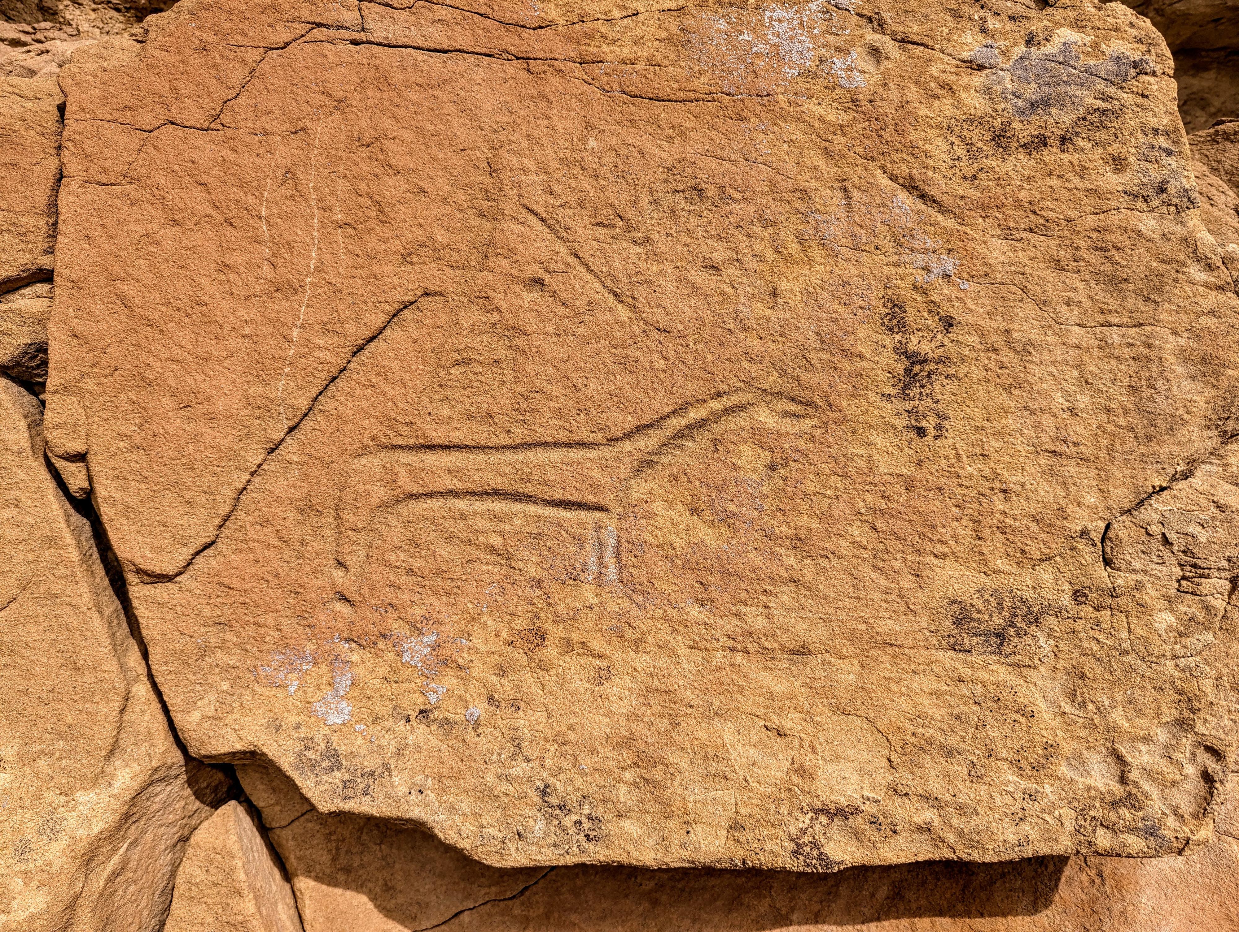
Ute Horse site is northeast of Rangley, and not in Canyon Pintado proper. This small site has a petroglyph of a horse, I assume believed to be carved by a Ute since the site is called Ute Horse. There are also some grooves left in the rock from sharpening tools.
Of the sites we visited in Rangley, this was clearly the least visited and probably my least favorite. Be sure to bring a GPS for this one, we had a hard time finding the parking spot and the trail to the site.
Getting There
From Rangley, head east on CO-64 for about 9 miles to the junction with County Road 65 on the left. Take County Road 65 north toward Deserado Coal Mine. The trailhead is just before milepost 3 on County Road 65. It was about mile 2.9 according to my odometer. There isn't an obvious pull-out, GPS highly recommended.
Route
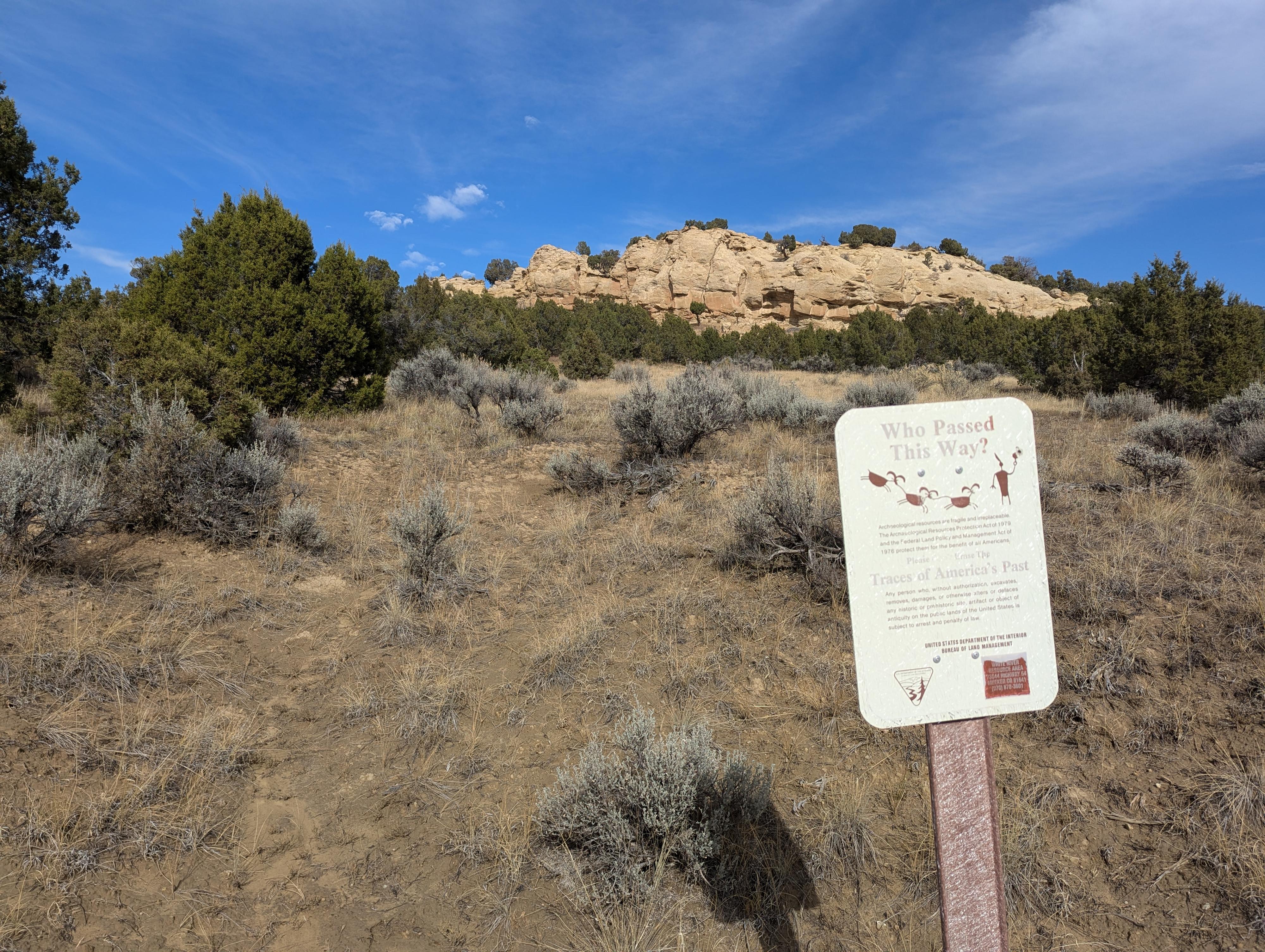
Rock art and historic sites are fragile, non-renewable cultural resources that, once damaged, can never be replaced. To ensure they are protected, please:
- Avoid Touching the Petroglyphs: Look and observe, BUT DO NOT TOUCH!
- Stay on the Trails: Stay on the most used trails when visiting sites, and don't create new trails or trample vegetation.
- Photography and Sketching is Allowed: Do not introduce any foreign substance to enhance the carved and pecked images for photographic or drawing purposes. Altering, defacing, or damaging the petroglyphs is against the law -- even if the damage is unintentional.
- Pets: Keep pets on a leash and clean up after them.
- Artifacts: If you happen to come across sherds (broken pottery) or lithics (flakes of stone tools), leave them where you see them. Once they are moved or removed, a piece of the past is forever lost.
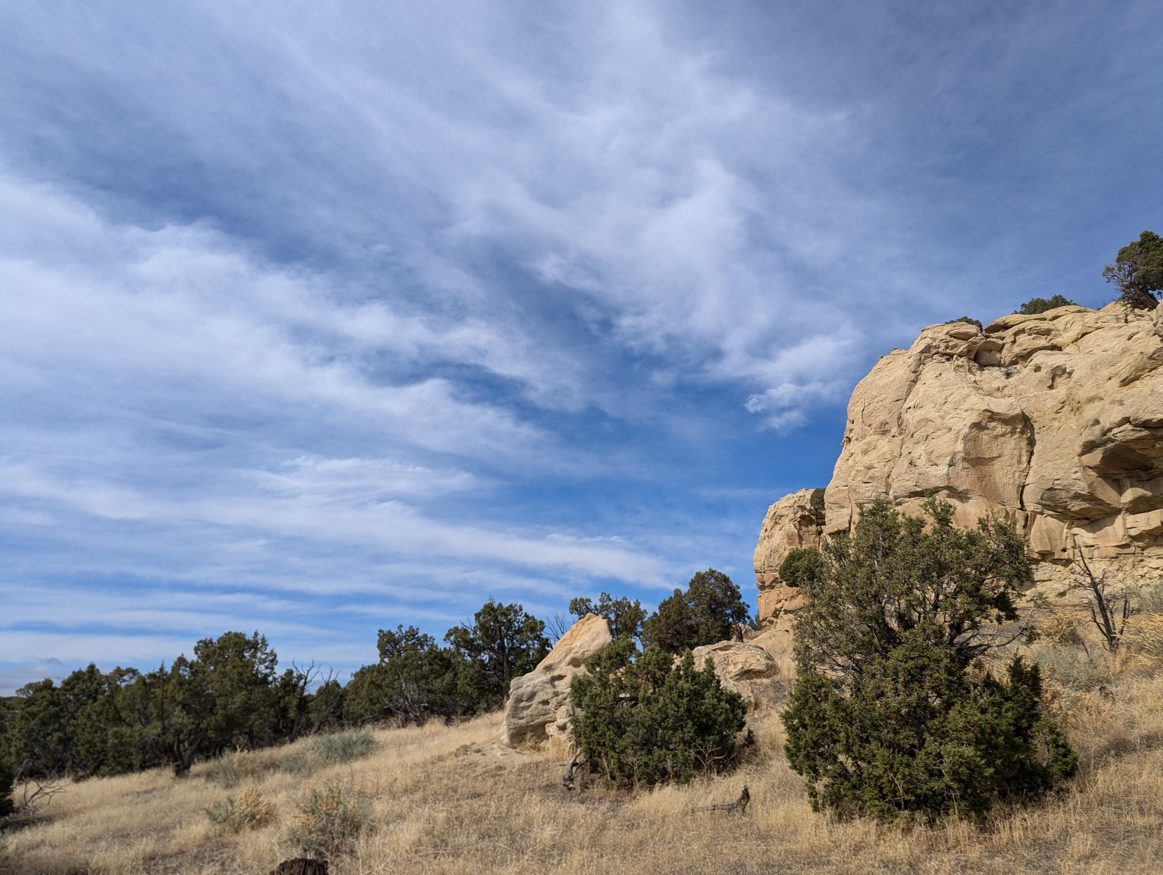
From the side of the road, look for a use-trail heading north. There were a couple of options on our visit. The one shown on the map follows a trail that mostly follows a shallow wash. It is only about 600 feet from the road to the cliff face, as long as you keep a mostly north path, you should find the cliff in just a few minutes.
Once at the cliff, the Ute Horse is toward the west side of the cliff face, and fairly obvious with a close eye. If you head south/east along the cliff, there are a couple of other spots with very faint looking rock art and a few places where there are grooves evident from sharpening tools.
Return the same way.
| Trailhead |
12T 693908E 4450491N 40°10'57"N 108°43'21"W |
| Ute Horse |
12T 693900E 4450673N 40°11'03"N 108°43'21"W |


