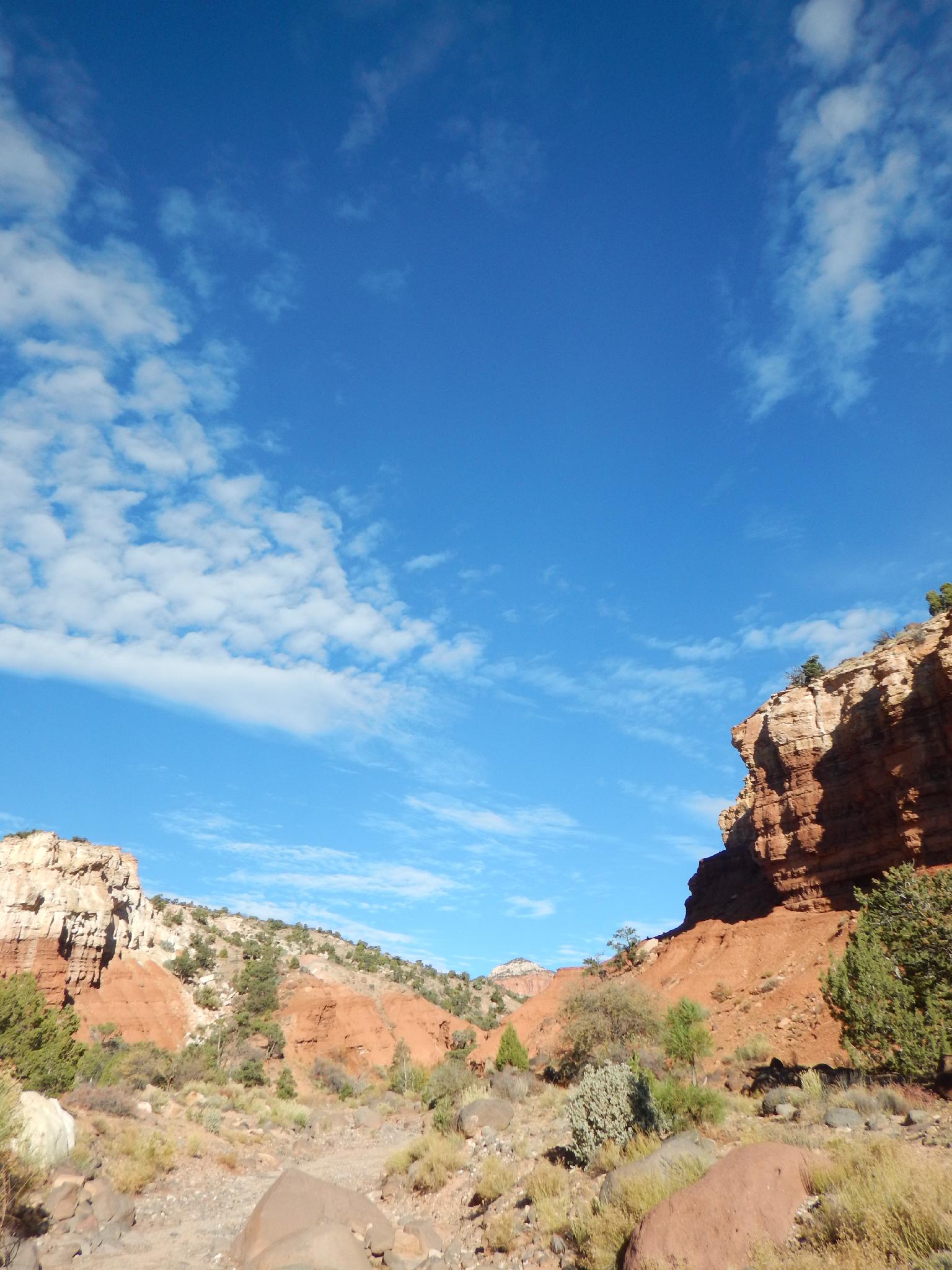
 Hiking Upper Spring Canyon
Capitol Reef
Overview
|
Tue 54 | 29 |
Wed 52 | 30 |
Thu 53 | 30 |
Fri 53 | 31 |
Sat 54 | 33 |
| View Full Weather Details | ||||
|
Tue 54 | 29 |
Wed 52 | 30 |
Thu 53 | 30 |
Fri 53 | 31 |
Sat 54 | 33 |
| View Full Weather Details | ||||
Upper Spring Canyon is one of those hikes that tests your mettle. It is seldom trodden, long, and has beautiful scenery. The hike is one I would recommend only to very fit and experienced desert hikers. The route contains moderate route finding, sections of rough terrain, and has very limited water availability, the types of difficulties that can spell disaster for the unprepared. Though challenging, it is also a very rewarding hike, ascending through layers of sandstone, up and over the Wingate layer, then meandering down the long and deep walled Spring Canyon.
Upper Spring Canyon can be visited as part of a multi-day backpacking trip that includes Lower Spring Canyon. For most groups, I would recommend breaking it up into two different trips. If doing both sections at once, expect at least two full days and quite possibly three or four to complete the route.
Getting There
Holt Draw (Trailhead)
The trailhead is about 3.8 miles west of Torrey on the way to Capitol Reef. Head east out of Torrey. At mile marker 72.5, a side road goes off on the north (left) side of the highway. It is dirt and offers a few primitive campsites. Follow it about 0.2 miles to a fence and gate. This is the trailhead.
Chimney Rock Trailhead (Exit)
You will need to spot a car at the Chimney Rock trailhead. Chimney Rock trailhead is about 3 miles east of the Meeks Mesa trailhead turnoff on the north side of the road. It is well signed, with a large parking area and a pit toilet.
Route
Trailhead to the W (4.2 miles / 2.5 - 3 hours)
From the Holt Draw trailhead, follow the old road through the gate and continue along it. After about 1.3 miles (20-30 minutes), it seems to end, and a well-trodden horse trail goes off on the right. Follow the horse trail and even faint old road down to the main Sulphur Creek Wash. Stay in the bottom of the main Sulphur Creek and follow it upstream. Side trails leave in a few spots, but stay in the main drainage. About 3.5 miles from the trailhead (2 hours), the Wingate cliffs loom directly in front of you and the wash divides.
Go right here, up a minor side drainage. A trail begins forming in this section. Follow it up to the bench where it seems to disappear again. Go east on the bench until two notches become visible to the north. The notches are called the W and provide passage over to Spring Canyon. Though it looks improbable from a distance, the west (left) notch is the one to go through. Hike up to the notch.
To the North Fork (2 miles / 1 - 1.5 hours)
From the notch, scramble down the narrow canyon, then down the dirt and rock slope to the bottom of Spring Canyon. This upper section of Spring Canyon is relatively steep and has quite a few boulders to hike around. A dryfall is soon reached. Go up the right bank, then down canyon 1-2 minutes until an unlikely gully allows access back down to the canyon floor. (Or continue above the canyon along the rim until it is easy to re-enter the canyon.)
The North Fork of Spring Canyon comes in on the left at a wide confluence. Spring Canyon becomes less steep from here and is much easier going.
To the Spring (7.7 miles / 4-5 hours)
The walking is easier but much sandier. Spring Canyon has repetitive scenery from here down, with tall Wingate Walls towing over the canyon. After about 2.7 miles, a canyon comes in on the right. This side canyon is the bottom end of Pandora's Box.
Continuing down Spring Canyon, there aren't any more landmarks until the spring, which comes in on the left. There is a small side canyon with a grove of trees at the spring. This spring is likely the only place water will be available.
Out Chimney Rock (4.3 miles / 2 hours)
From the spring, it is 1.6 miles (30-45 minutes) down to where Chimney Rock Canyon comes in on the left. This junction seems pretty obvious, but at least one group has walked by it.
Go up Chimney Rock Canyon. The trail is easy and well traveled. About 1.5 miles up Chimney Rock is the loop junction. Either way works, but right is about 0.8 miles shorter than the left (south) loop. I would recommend right (the north loop) for most. A final junction is reached at the edge of the mesa where the trail descends steeply 0.5 miles to the Chimney Rock Trailhead.
| Trailhead - Holt Draw |
12S 467405E 4242035N 38°19'33"N 111°22'22"W |
| End of Road |
12S 466047E 4242811N 38°19'58"N 111°23'19"W |
| Exit |
12S 463694E 4244961N 38°21'07"N 111°24'56"W |
| W |
12S 464360E 4245531N 38°21'26"N 111°24'28"W |
| Dryfall |
12S 465159E 4245889N 38°21'38"N 111°23'56"W |
| North Fork |
12S 466812E 4246022N 38°21'42"N 111°22'48"W |
| Pandora's Bottom |
12S 470283E 4245215N 38°21'17"N 111°20'24"W |
| Spring |
12S 475787E 4243116N 38°20'09"N 111°16'37"W |
| Chimney Rock Exit |
12S 476903E 4241825N 38°19'27"N 111°15'51"W |
| Lower Junction |
12S 475099E 4241073N 38°19'03"N 111°17'05"W |
| Junction |
12S 473926E 4241087N 38°19'03"N 111°17'54"W |
| Trailhead - Chimney Rock |
12S 473418E 4240869N 38°18'56"N 111°18'15"W |


