 Catstair Canyon
Paria
Overview
|
Sat 62 | 35 |
Sun 62 | 35 |
Mon 64 | 34 |
Tue 59 | 37 |
Wed 56 | 36 |
| View Full Weather Details | ||||
|
Sat 62 | 35 |
Sun 62 | 35 |
Mon 64 | 34 |
Tue 59 | 37 |
Wed 56 | 36 |
| View Full Weather Details | ||||
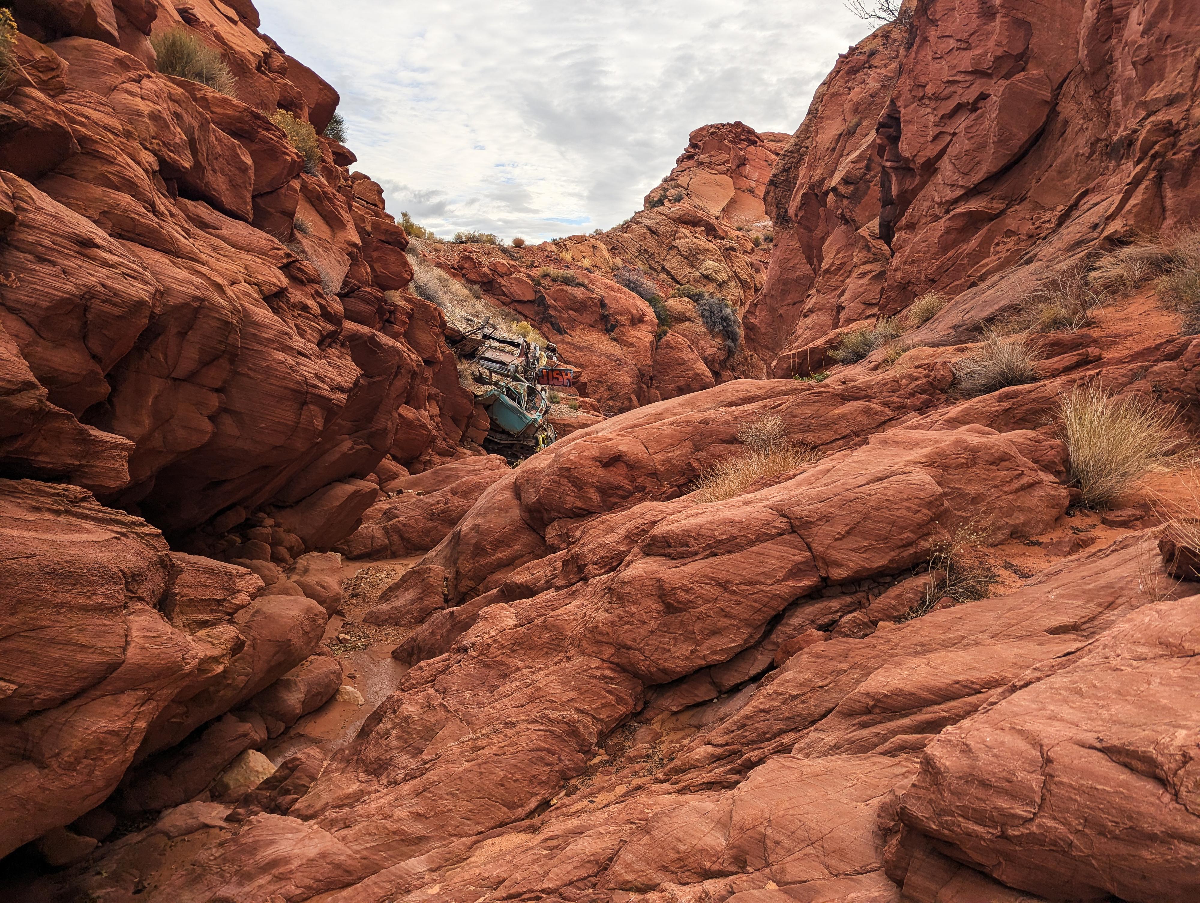
Catstair Canyon has a lot going on in its very short length. For hikers, you can hike down from the top and visit what is referred to as the Catstair Rip-Rap, which is numerous stacked old cars used to stabilize the canyon bank for the road. Hikers can then hike from the bottom up Catstair Canyon to a rock art site. Are you canyoneer? Well, you can combine both by descending the short canyon with a rappel or two en route.
I was surprised at how much we enjoyed the canyon. It is an excellent canyon for hikers and canyoneers alike.
Getting There
Follow US-89 east from Kanab toward Page, AZ for about 40 miles. As the highway passes through a canyon, a small side road leaves on the right at milepost 24.9. This is the Catstair West trailhead, used to hike to the Rip-Rap and for the start of the canyoneering adventure. The spur road goes a short distance to a parking area.
Continuing to milepost 24.9 is another spur road, leaving on the right through a gate. This is the Catstair East trailhead, used for the rock art hike and for the exit to the canyoneering route. Follow the road a short distance to a parking area at the end of the road.
Route
Rock art and historic sites are fragile, non-renewable cultural resources that, once damaged, can never be replaced. To ensure they are protected, please:
- Avoid Touching the Petroglyphs: Look and observe, BUT DO NOT TOUCH!
- Stay on the Trails: Stay on the most used trails when visiting sites, and don't create new trails or trample vegetation.
- Photography and Sketching is Allowed: Do not introduce any foreign substance to enhance the carved and pecked images for photographic or drawing purposes. Altering, defacing, or damaging the petroglyphs is against the law -- even if the damage is unintentional.
- Pets: Keep pets on a leash and clean up after them.
- Artifacts: If you happen to come across sherds (broken pottery) or lithics (flakes of stone tools), leave them where you see them. Once they are moved or removed, a piece of the past is forever lost.
West Trailhead (Rip-Rap and Canyoneering Trailhead)
From the West Trailhead, follow a social trail that drops into the wash and heads down Catstair Canyon. It is an easy 1/4 of a mile to the Rip-Rap (stacked cars). Interesting place! The canyon is starting to get deep and more exciting here.
Below the cars, the canyon becomes boulder chocked with a few downclimbs. Hikers can come down this section, but need to be certain they can climb back up anything they climb down.
Canyoneering Section and Rappels
It is a pretty short distance from the cars to the first rappel. It took us about 15 minutes from the cars to the rappel.
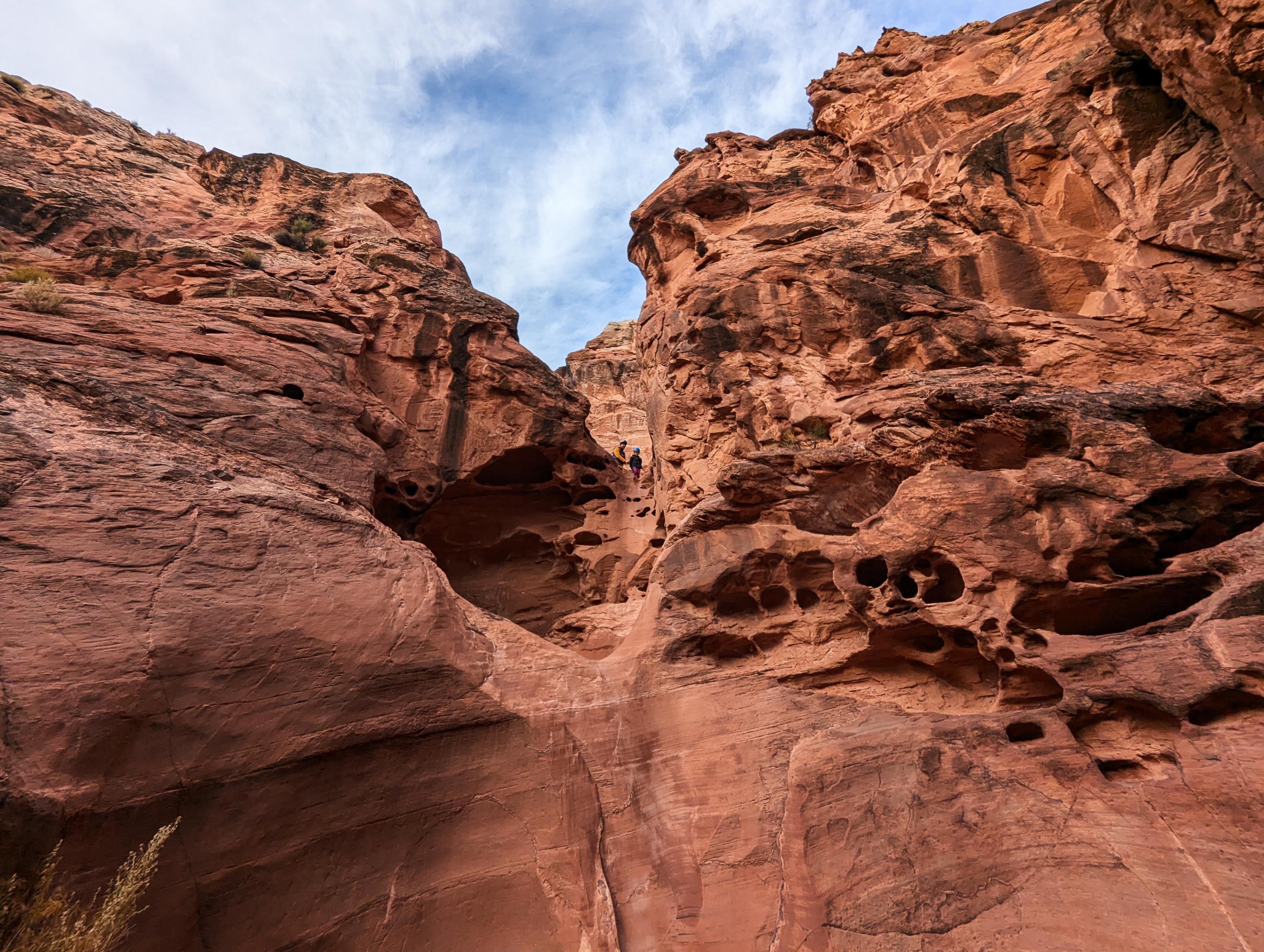
Rappel 1 (20 m ( 66 ft. )): On our trip, the anchor was a slung solution pocket and bolt. The rappel is two stages. It is an easy start and quite a scenic solution pocketed wall.
Just a few minutes down canyon from Rappel 1, the canyon makes a bend and drops.
Rappel 2 or downclimb (10 m ( 33 ft. ))
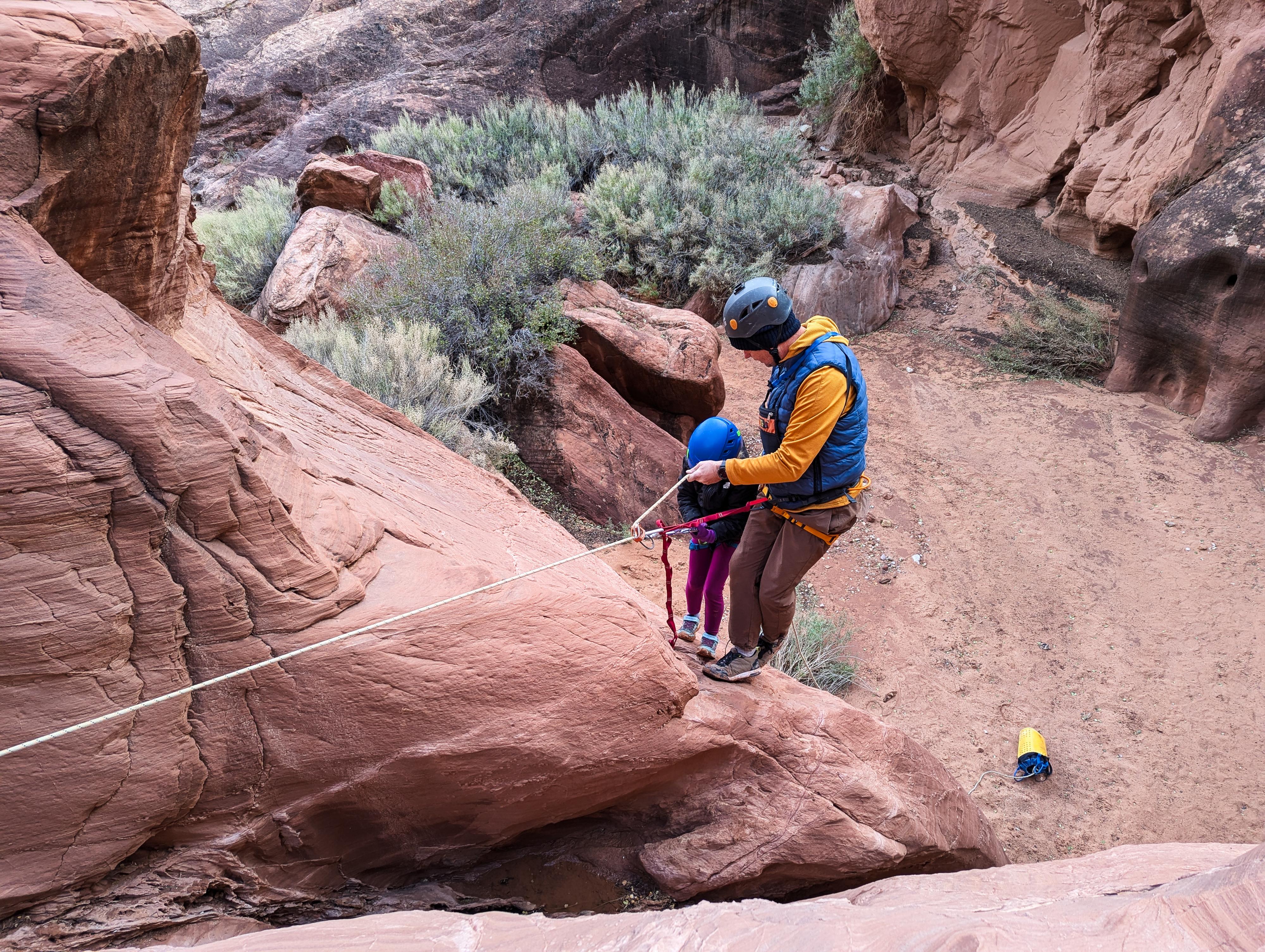
If rappelling, you will likely want about 15 m ( 50 ft. ) of webbing to sling a large boulder a substantial distance back from the drop. The drop itself will be about 10 m ( 33 ft. ) depending on where you extend the anchor to. It is a very reasonable downclimb, so having everyone rappel and the most skilled person downclimb last is a good option. For an easier rappel, downclimb or rappel to the stance above the constriction, then step out on the right (looking up) to the flat wall. This was my approach when rappelling with our daughter, and it worked great.
Once down the rappel, the canyon widens and is easy walking. As you near a bend to the right where the canyon obviously opens up just beyond, look for the rock art site on the right (looking down canyon). There are pictographs and petroglyphs here on the wall, as well as a few petroglyphs on the large boulder at the base of the wall.
From the rock art site, continue downstream, looking on the left for a trail marker where the trail leaves the wash and heads to the Catstair East Trailhead.
Catstair East Trailhead (Rock Art Site Hike and Canyoneering Exit Trailhead)
From the east trailhead, walk on the social trail to the wash and head west toward the obvious canyon. The rock art site is on the left (looking up canyon) as you enter the canyon. There are pictographs and petroglyphs here on the wall, as well as a few petroglyphs on the large boulder at the base of the wall. Return the same way.
Maps
| MP 24.9 |
12S 414217E 4109418N 37°07'38"N 111°57'57"W |
| Catstair West Trailhead |
12S 414166E 4109315N 37°07'35"N 111°57'59"W |
| Rip-Rap Cars |
12S 414352E 4109449N 37°07'39"N 111°57'51"W |
| Rappel 1 |
12S 414492E 4109348N 37°07'36"N 111°57'45"W |
| Rappel 2 |
12S 414519E 4109311N 37°07'35"N 111°57'44"W |
| Rock Art |
12S 414793E 4109388N 37°07'37"N 111°57'33"W |
| Catstair East Trailhead |
12S 415180E 4109327N 37°07'35"N 111°57'17"W |
| MP 24.2 |
12S 415327E 4109416N 37°07'38"N 111°57'12"W |


