 Hiking Dinosaur Tracks
Kanab
Overview
|
Sat 59 | 29 |
Sun 68 | 32 |
Mon 71 | 36 |
Tue 75 | 39 |
Wed 75 | 41 |
| View Full Weather Details | ||||
|
Sat 59 | 29 |
Sun 68 | 32 |
Mon 71 | 36 |
Tue 75 | 39 |
Wed 75 | 41 |
| View Full Weather Details | ||||
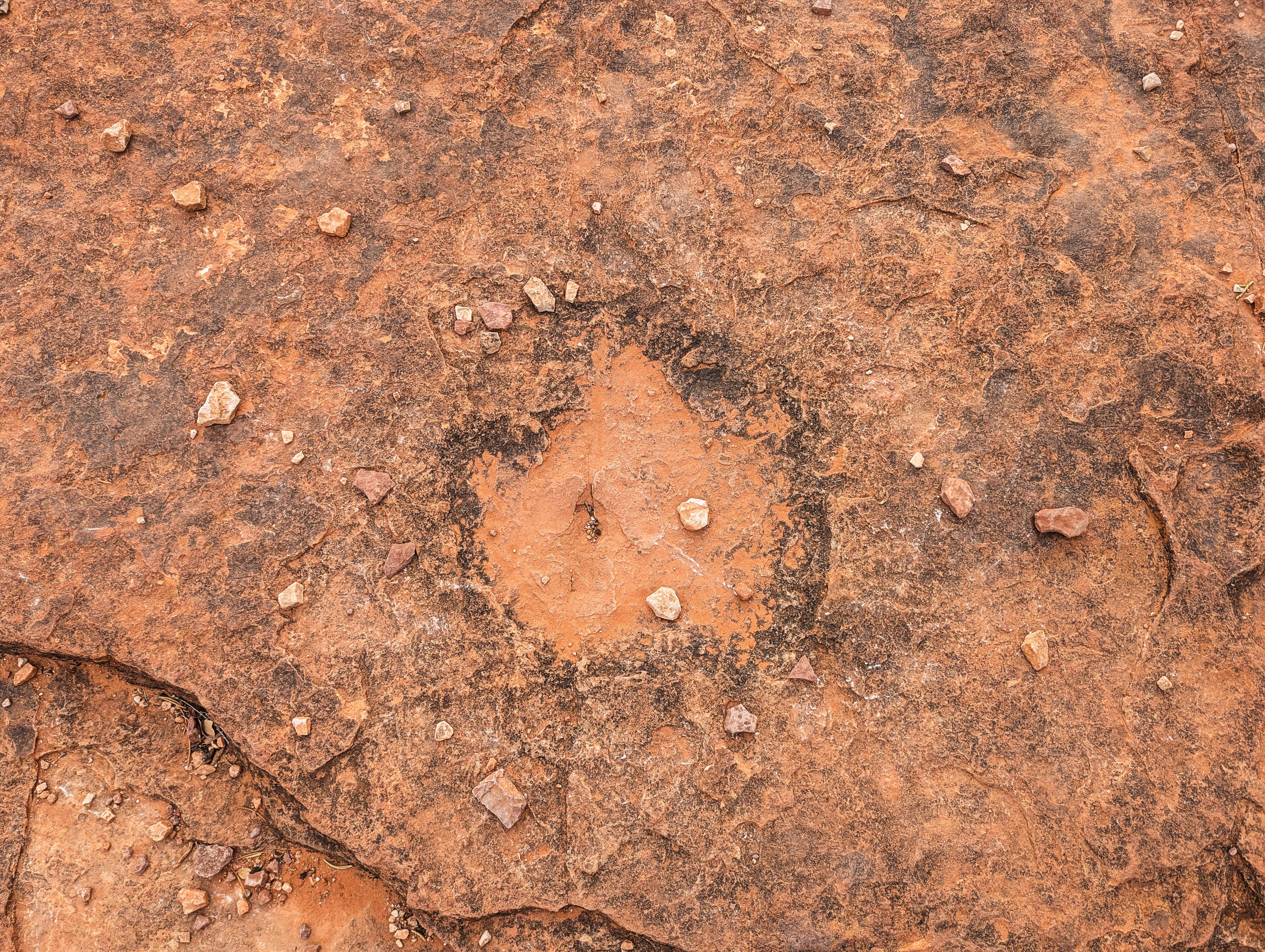
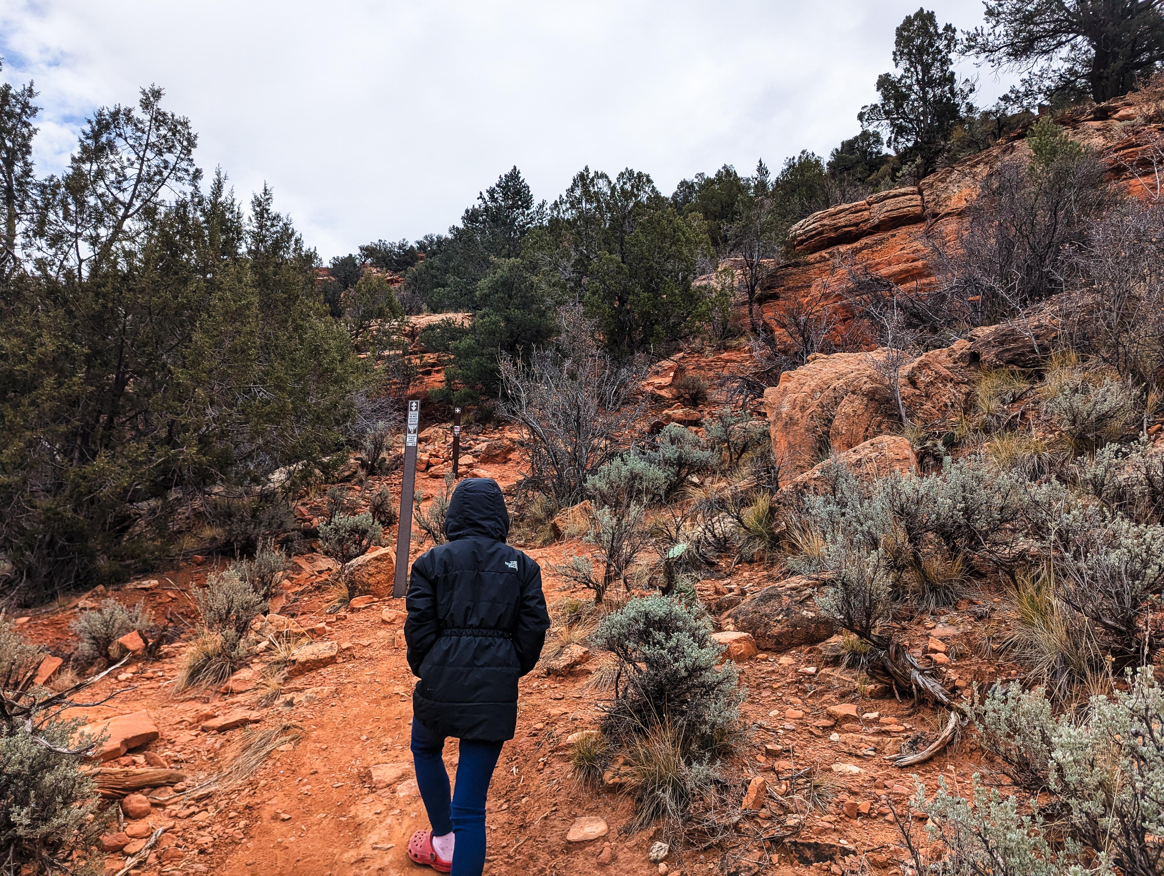
Just north of Kanab, at an unassuming small dirt parking lot, is a trail to dinosaur tracks! This relatively short hike meanders up to a layer of rock that has several quite good dinosaur tracks in it. My 7-year-old and I both enjoyed the short 1/2 mile round-trip hike on a cold winter morning.
Getting There
From Kanab, head north on US-89. About 2 miles after leaving the town, just before the Port of Entry, look for a side road on the right. This just past milepost 67, at about mile 67.2. Turn off US-89 here, then left (north) into a small dirt parking lot (right goes to a residence). This is the trailhead.
Route
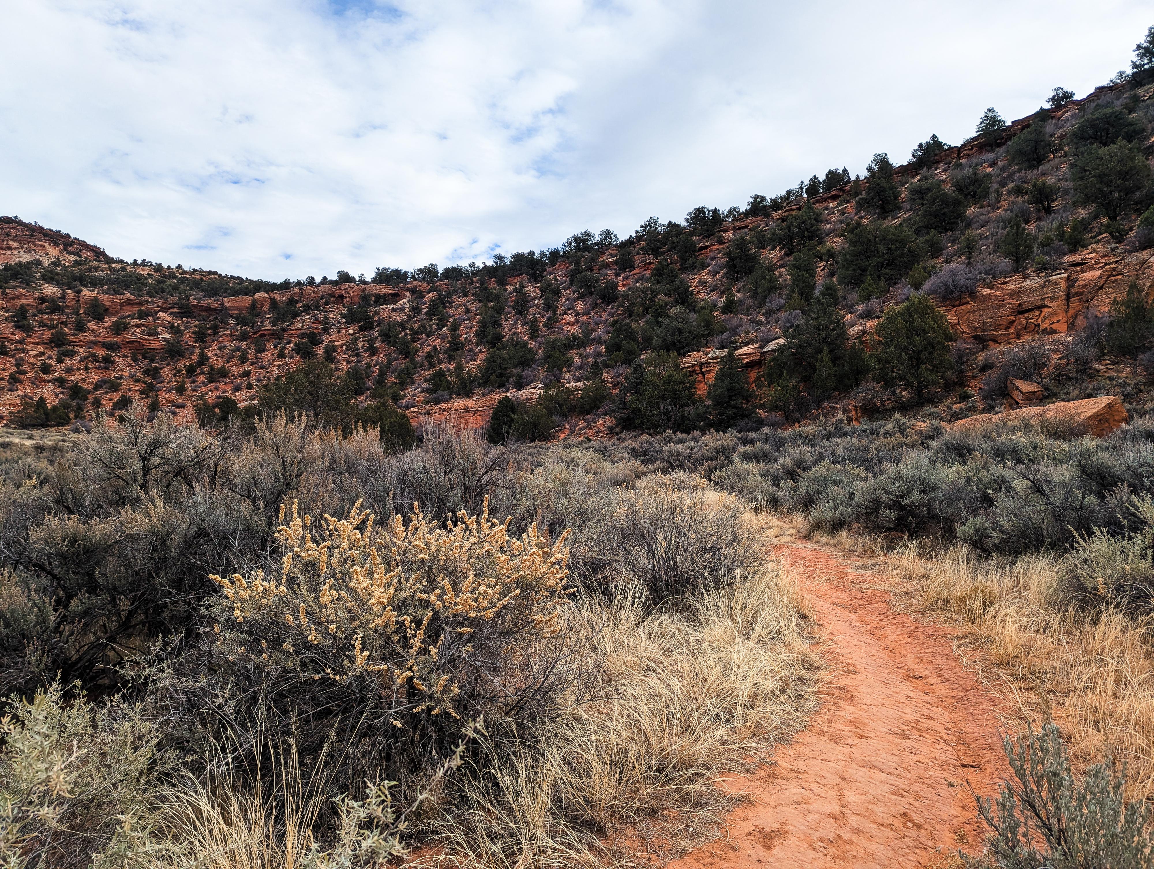
From the trailhead, the trail heads east over to the base of a small cliff band. There are BLM trail markers along the way. The trail ascends the small cliff easily up a low-angle section, then traverses south-west along the bench, around the corner, and up one final section to a flat rock area on a ridge. The dinosaur prints are on the rock area and, at least on our visit, surrounded by small pebbles to make them easier to spot. Some are a bit shallow, but some are easy to identify as dinosaur prints. This should be in a large area with a flat rock floor. We thought they were straightforward to find, but we had passed a group coming out on our way in that had not found them. Return the same way.
| Trailhead |
12S 363231mE 4105238mN N37° 05' 00" W112° 32' 20" |
| Tracks |
12S 363402mE 4105171mN N37° 04' 58" W112° 32' 13" |


