 Hiking Sand Caves
Kanab
Overview
|
Wed 54 | 23 |
Thu 52 | 28 |
Fri 50 | 27 |
Sat 51 | 26 |
Sun 51 | 23 |
| View Full Weather Details | ||||
|
Wed 54 | 23 |
Thu 52 | 28 |
Fri 50 | 27 |
Sat 51 | 26 |
Sun 51 | 23 |
| View Full Weather Details | ||||
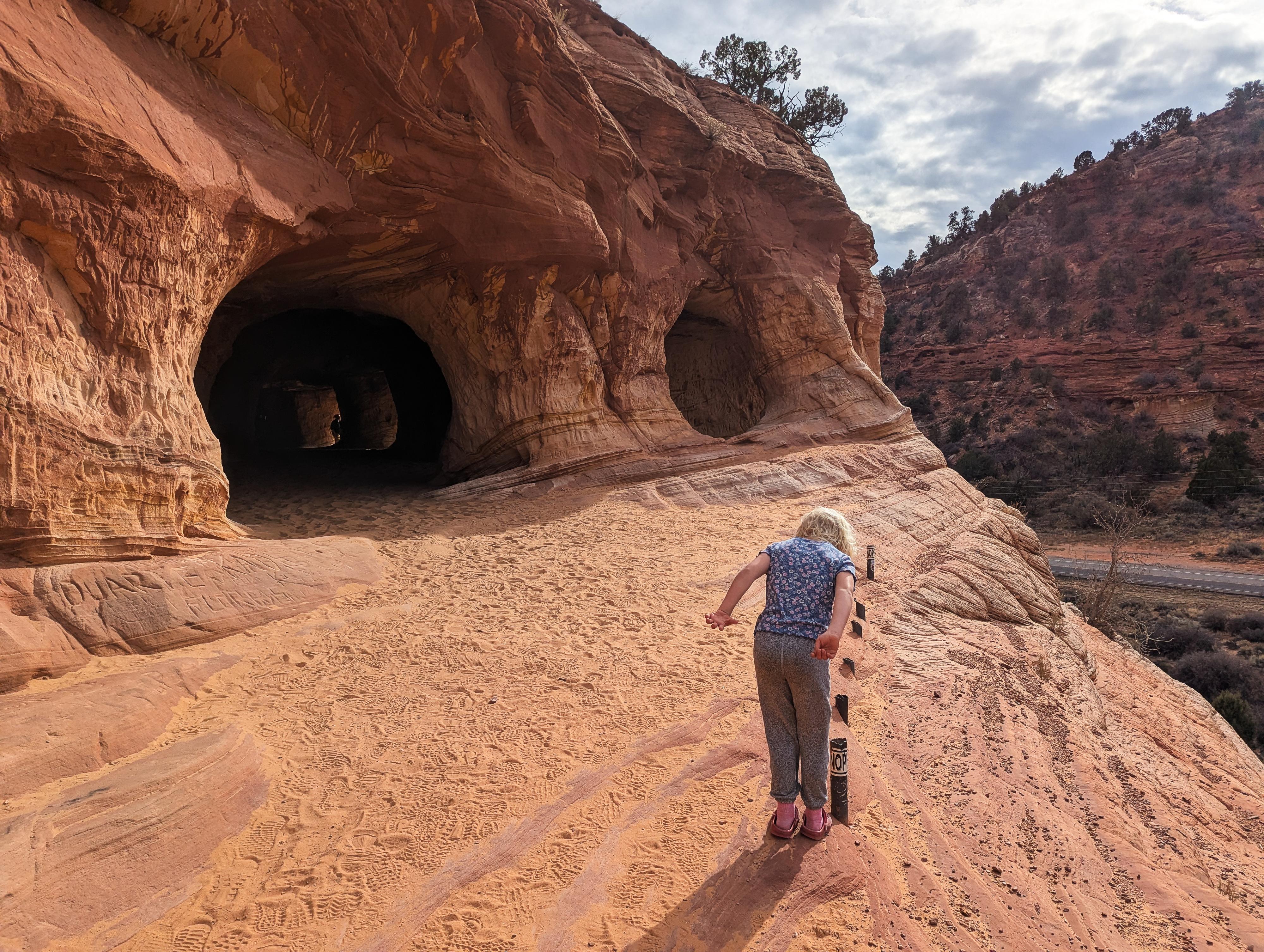
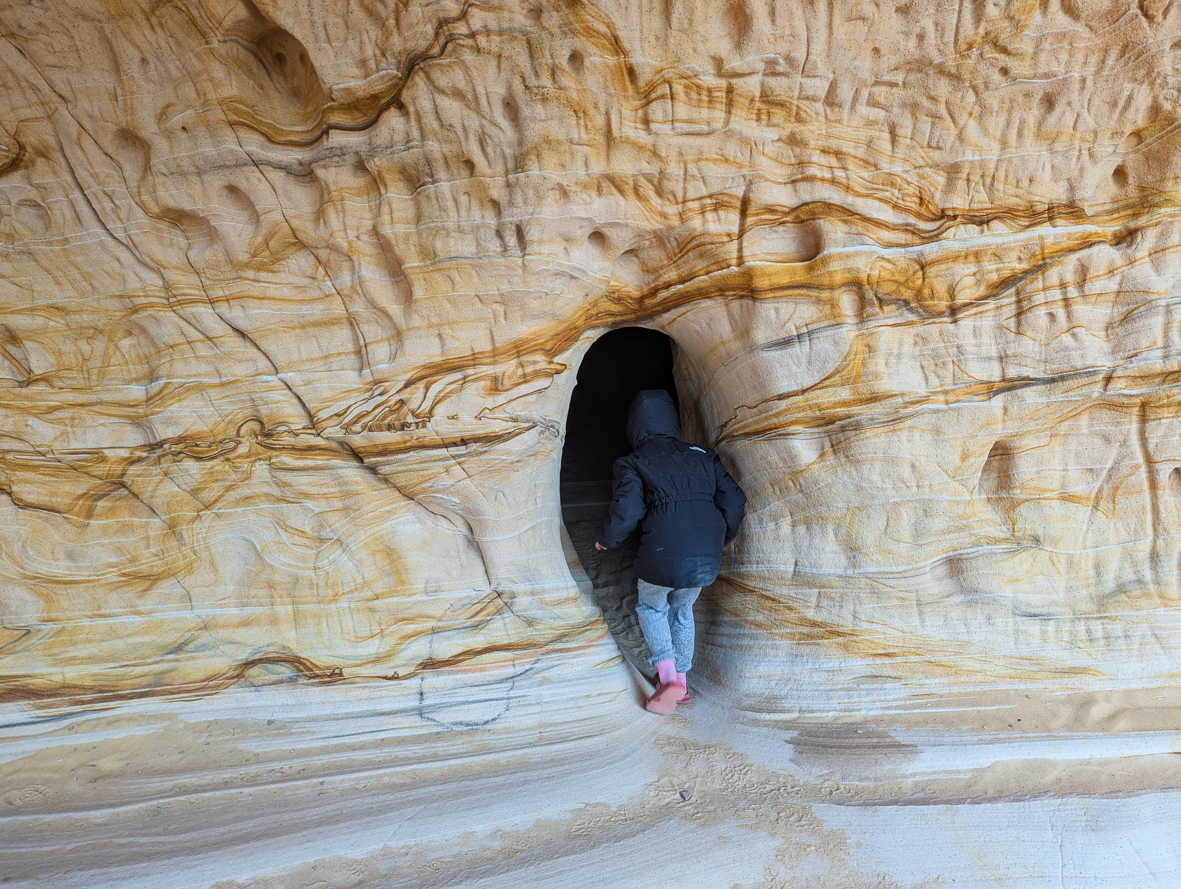
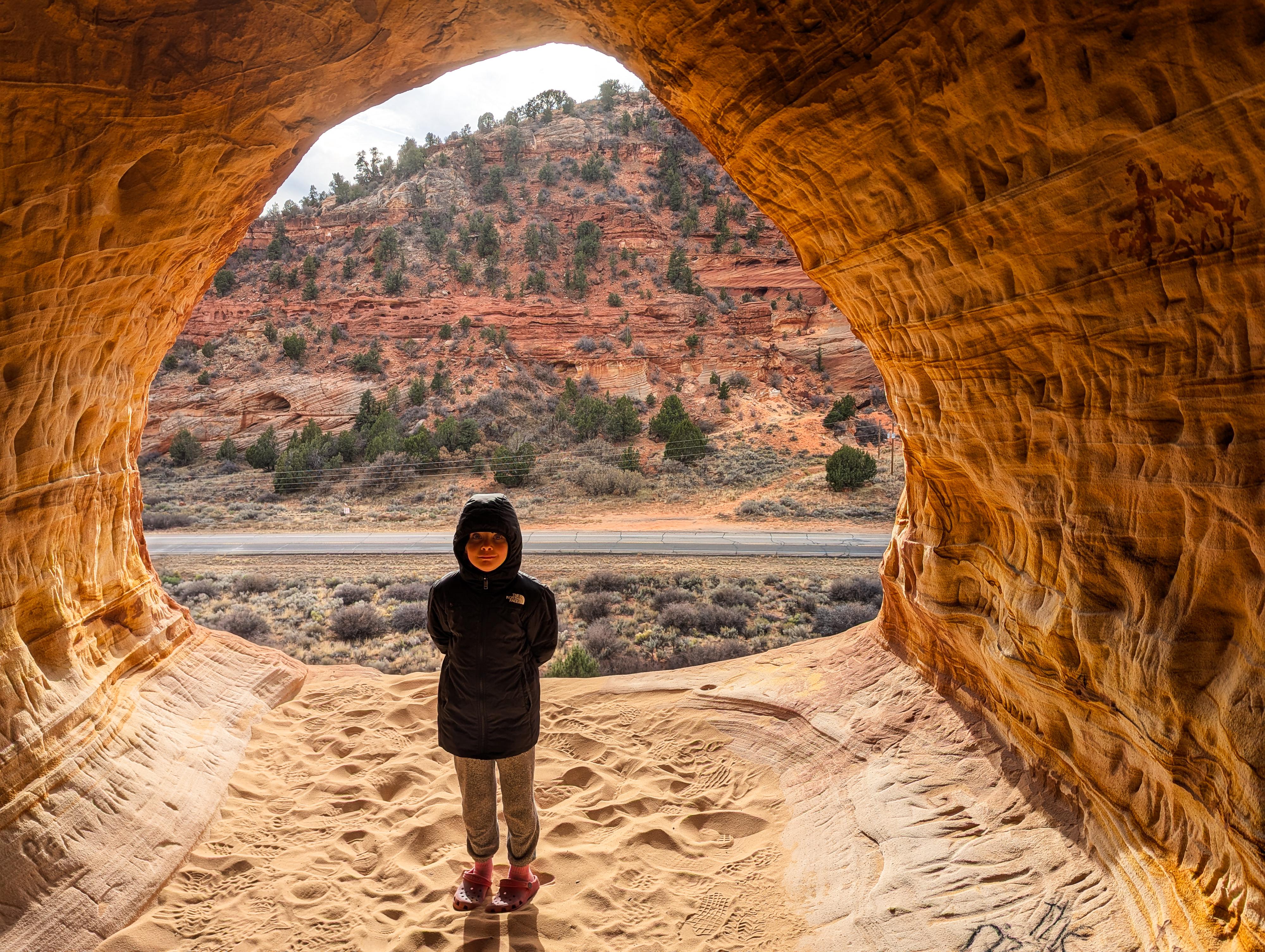
The Sand Caves, aka Moqui Sand Caves, near Kanab, is a very popular hike. The short hike, right next to the highway, is popular for good reason. The caves, though not very deep, have incredible colors and patterns in the sandstone. Reaching the caves requires a fairly short hike, then a little adventurous scrambling to get to the entrance. Though the route is easy, it does have some exposure. People with a little hiking and scrambling experience should be able to visit the caves, but if you are afraid of heights, this is not a good choice. If you have children, keep a close eye on them. It would be easy in a few spots to slip and tumble off a fairly good size cliff.
Getting There
From Kanab, head north on US-89 for about 5 miles to the signed Best Friends Animal Sanctuary and Sand Caves Parking on the right. This is at mile post 69.6 on US-89. Alternatively, this is about 12 miles south of Mt. Carmel Junction.
Route
From the trailhead, the trail leaves on the west side of the parking lot. It is signed, well traveled, and easy to follow. After leaving the parking area, it soon descends into the wash and follows the wash. You may notice a log fence on the right away from the wash after a couple of minutes. There are some historic signature here, you can visit on the way to the Sand Caves, or on the return.
Once you are below a couple of the cave openings high above, continue in the wash a short distance, then the trail leaves the wash on the right and ambles along the base of the cliff.
To reach the caves, continue past the caves for a few minutes until the slick rock is a reasonable angle to climb. On my visits, there has been a fixed rope marking the easiest spot. Make sure you are comfortable coming down anything you climb!
Once up the slick rock, traverse back to the cave entrances. There are some exposed spots along this section, but reasonable if you are careful and choose a good route.
Return the same way. If you didn't visit the old signatures on the way to the caves, on your return, stay on the trail that is close to the base of the cliff. Once you reach the log fence and signatures, the trail goes back to the approach wash.
| Sand Caves Trailhead |
12S 361793E 4108618N 37°06'49"N 112°33'20"W |
| Sand Caves |
12S 361377E 4108932N 37°06'59"N 112°33'37"W |
| Route Up |
12S 361278E 4109075N 37°07'04"N 112°33'41"W |
| Signatures |
12S 361436E 4108847N 37°06'57"N 112°33'35"W |


