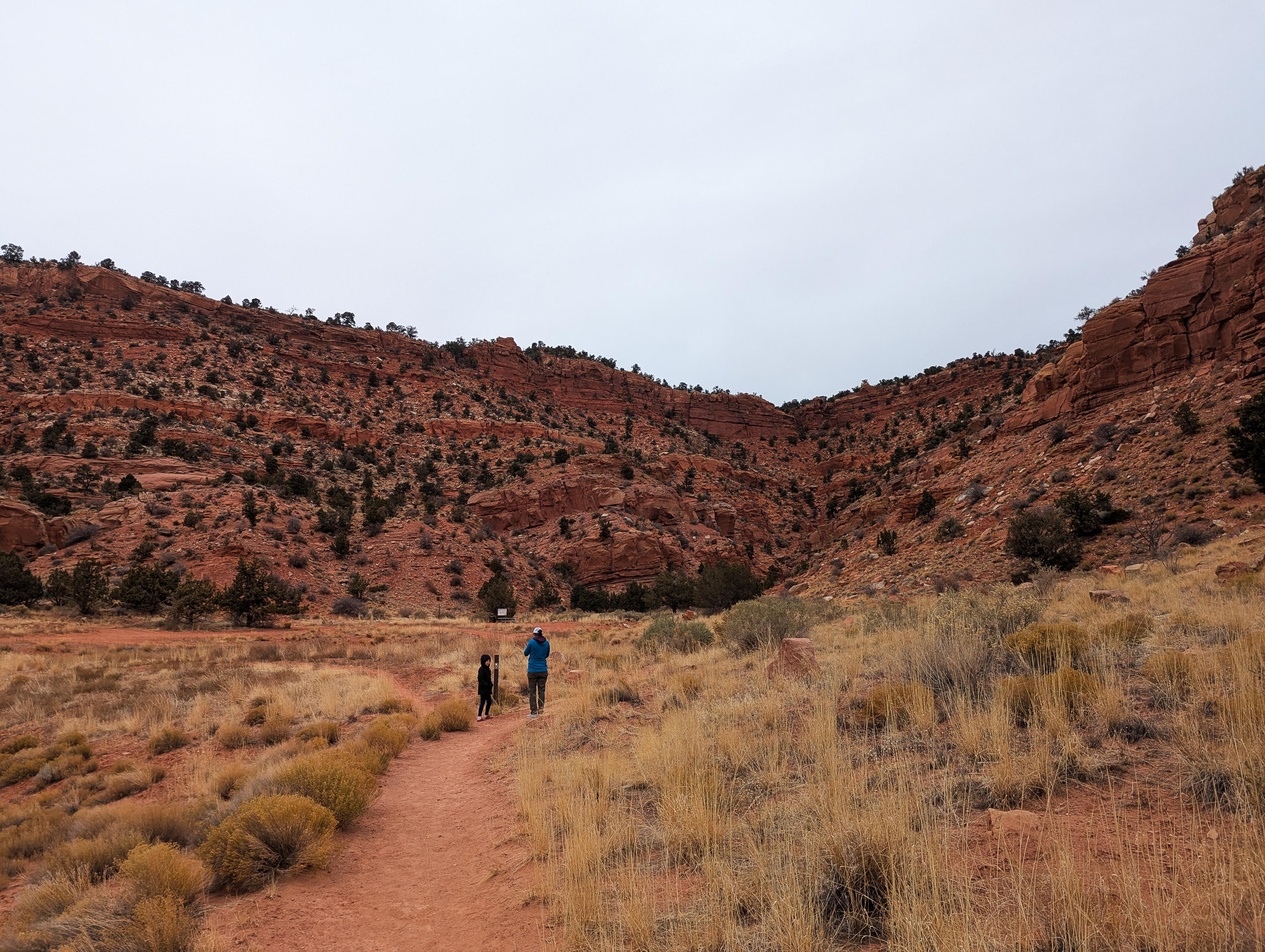
 Hiking Squaw Trail
Kanab
Overview
|
Sat 60 | 30 |
Sun 69 | 33 |
Mon 73 | 37 |
Tue 75 | 39 |
Wed 77 | 41 |
| View Full Weather Details | ||||
|
Sat 60 | 30 |
Sun 69 | 33 |
Mon 73 | 37 |
Tue 75 | 39 |
Wed 77 | 41 |
| View Full Weather Details | ||||
Starting near the edge of town, the Squaw Trail ascends steeply along switchbacks to the top of the cliffs, providing breathtaking overlooks of Kanab and the Vermilion Cliffs. The trail, part of the Kanab City Trails, is an excellent hike, and one our family thoroughly enjoyed one stormy afternoon while looking for something close to do in case the weather got worse. A quick outing that surprised me with its beauty.
We saw several runners out on our visit, so this is apparently a popular trail for local runners as well. A very lovely outing!
Getting There
From Center Street in Kanab, turn north onto 100 East. Follow 100 East to its end, which is the trailhead and parking area for the local baseball fields.
Route
To The Rim (1.5 miles one-way)
From the trailhead, the goal is to head up the trail at the bottom of the canyon ahead and to the left of the trailhead. The trail system has numerous branches here. In general, we stayed on the trail signed Raven Trail to reach the canyon bottom, then up the canyon bottom. The trail is well-used and easy to follow.
As the canyon bottom steepens, the trail leaves on the right, looking up canyon, and begins a series of long switchbacks. Not far after the second switchback, a rock formation on the left side of the trail looks remarkably like a bird to me. The trail continues up to the rim, then continues a short distance to a junction. This junction is a good turnaround spot for those looking for a short outing, and it has excellent views. If you still have energy and time, continuing to the overlook is highly recommended.
To the Overlook (0.8 miles one-way from the junction)
Go left at the junction (heading west). The trail meanders west, then south, and finally all the way to the southwest end of the ridge and fantastic views of Kanab and the surrounding cliffs.
Return the same way.
| Trailhead |
12S 364283mE 4102435mN N37° 03' 30" W112° 31' 35" |
| Bird Rock |
12S 364271mE 4102690mN N37° 03' 38" W112° 31' 36" |
| Junction - Left |
12S 364483mE 4103087mN N37° 03' 51" W112° 31' 27" |


