 Hiking Upper Toadstools
Paria
Overview
|
Fri 86 | 50 |
Sat 84 | 50 |
Sun 78 | 50 |
Mon 75 | 43 |
Tue 77 | 46 |
| View Full Weather Details | ||||
|
Fri 86 | 50 |
Sat 84 | 50 |
Sun 78 | 50 |
Mon 75 | 43 |
Tue 77 | 46 |
| View Full Weather Details | ||||
First, this hike is for experienced desert hikers. If you are looking for an easier hike to see toadstools, see the The Toadstools - Paria hike. This hike visits toadstools above and west of the more common toadstool hike. The Upper Toadstools route requires route finding and a bit of scrambling. It is only recommended for experienced desert hikers.
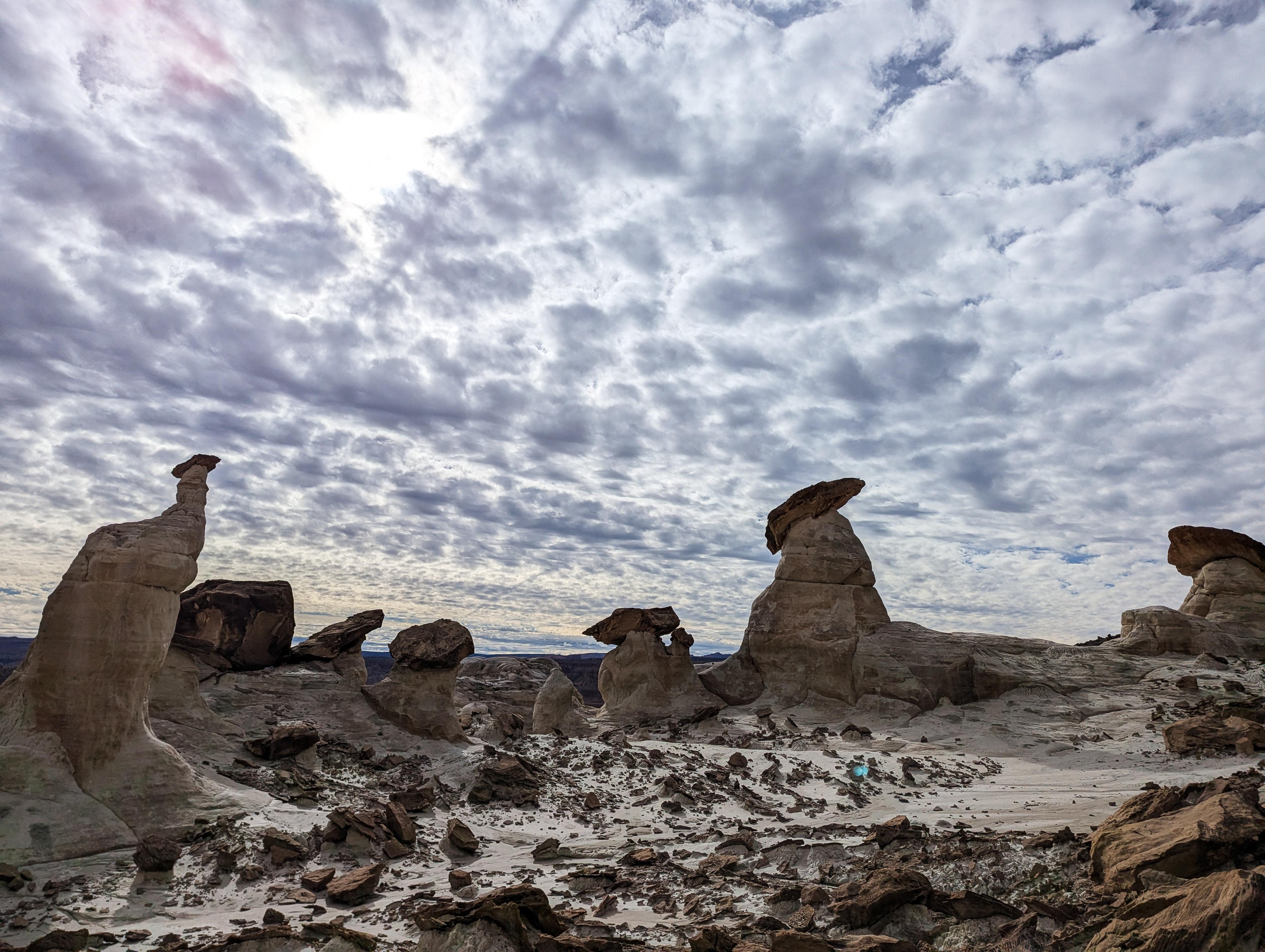
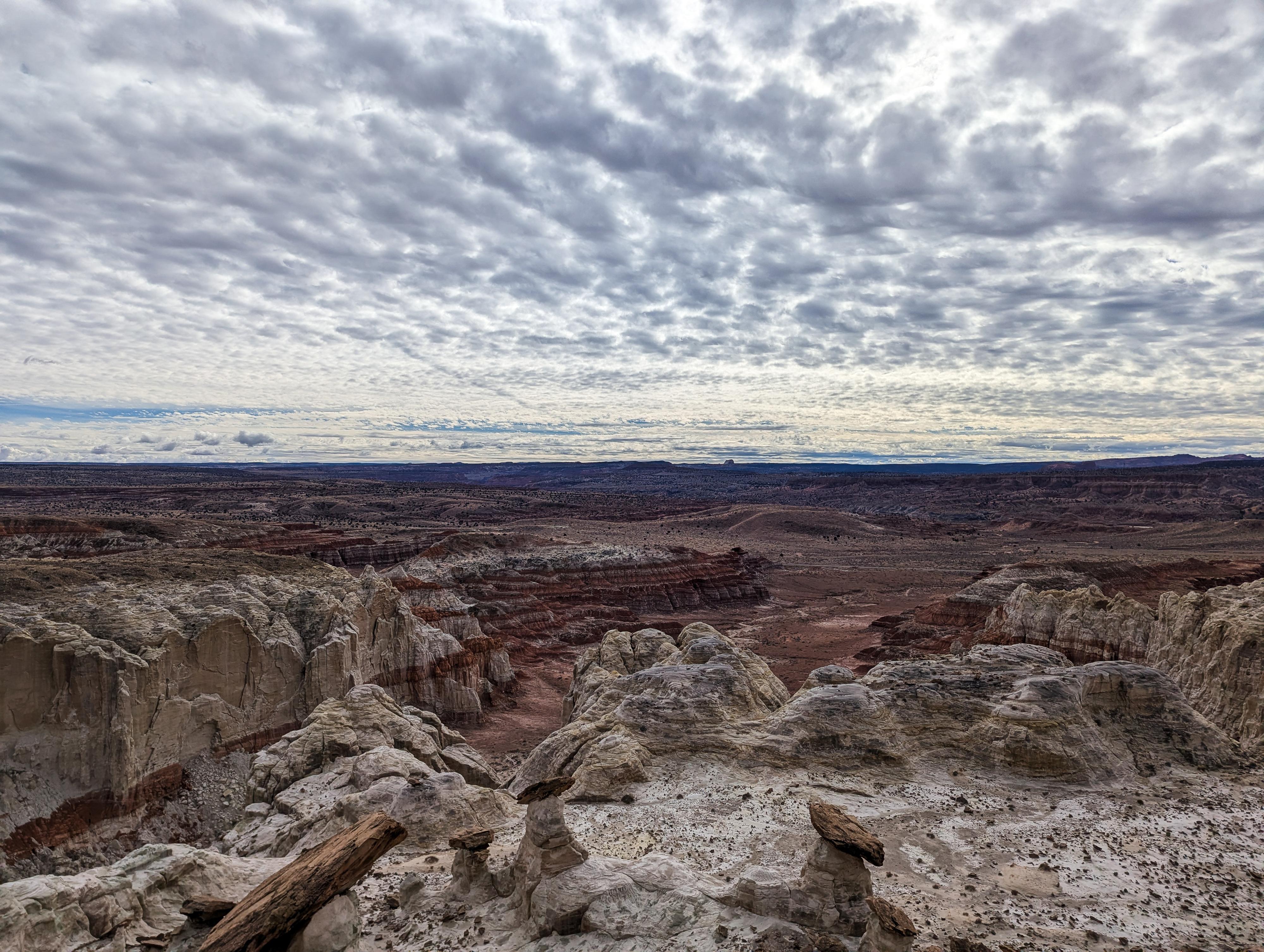
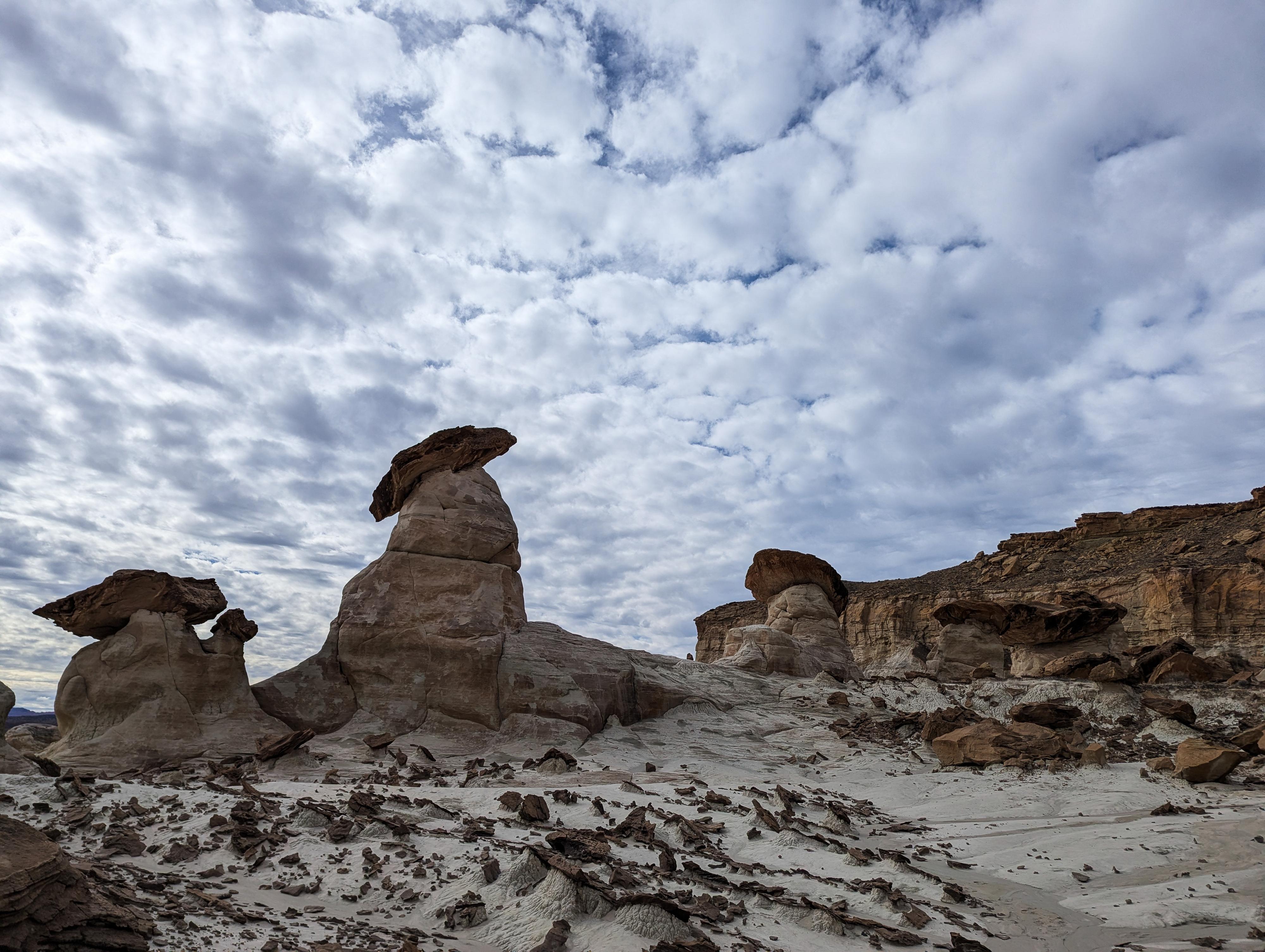
The Upper Toadstools hikle, also known as the Paria Rimrocks, starts on the rim above the more common toadstools area. The hike crosses flat lands before working down to the toadstools from above. The reward for a bit of route finding and more difficult route is a much more off-the-beaten-path area with immense white toadstools. The solitude and views south from the ledge the toadstools are on is spectacular. It is an area you are very likely to have to yourself.
Getting There
Head east out of Kanab on Highway 89 toward Page Arizona. About 47 miles east of Kanab, at milepost 17.75, the Cottonwood Wash road leaves on the north side of the road to Cannonville. Alternatively, this is about 27 miles west from Page on US-89 if coming from that direction.
Turn onto the Cottonwood Wash road and reset your odometer. Follow it north for 1.5 miles to a minor junction. Stay left on the Cottonwood Wash road at this junction, the road now heads west. 3.1 miles from pavment, there is a small side road on the left (south side) of the Cottonwood Wash road that forms a pullout before re-joining the Cottonwood Wash road. This is the trailhead.
Route
From the parking area, look for a social trail toward the west end of the small side road you are parked on. Be sure to find this. The spot marked on the map is a short-distance away from the trailhead, where the trail starts to become more defined and easier to follow. You should be following a social trail, if not, look around until you find it.
Follow the social trail as it crosses the wide open flats. It reaches the rim west of a small high point. From the rim, work down and left to the toadstools. Stay on a social trail when possible, your route may require a little scrambling.
Once in the toadstools, be sure to head left (east) as there are quite a few toadstools and excellent views from the east side. The toadstools here are all white and very dramatic pearched high above the canyon below.
Return the same way.
| Trailhead |
12S 421874mE 4108932mN N37° 07' 25" W111° 52' 46" |
| Trail |
12S 421863mE 4108911mN N37° 07' 24" W111° 52' 47" |
| Edge |
12S 421466mE 4108120mN N37° 06' 58" W111° 53' 02" |
| White Toadstool Area |
12S 421515mE 4108009mN N37° 06' 54" W111° 53' 00" |


