 Hiking Paul Bunyan's Woodpile
Eureka
Overview
|
Mon 48 | 34 |
Tue 57 | 34 |
Wed 56 | 43 |
Thu 62 | 41 |
Fri 66 | 45 |
| View Full Weather Details | ||||
|
Mon 48 | 34 |
Tue 57 | 34 |
Wed 56 | 43 |
Thu 62 | 41 |
Fri 66 | 45 |
| View Full Weather Details | ||||

Paul Bunyan's Woodpile
Paul Bunyan’s Woodpile is a fascinating geological formation nestled in the remote western desert of Utah. Resembling a neatly stacked pile of oversized logs, this feature is actually a collection of ancient basalt columns formed millions of years ago through volcanic activity.
Located near the town of Eureka, the trail is fairly straightforward, though a bit steep and loose when scrambling around the "wood piles". Our family enjoyed the hike. I hadn't realized before our visit that there is also an arch at the woodpile, which was an unexpected treat. It is a pretty unique and interesting place to visit.
From the BLM:
The "logs" were formed when a lava flow cooled into orderly columnar joints having 3 to 7 sides. The columns measure about a foot in diameter and 15 feet in length.
This formation was on the rim of the caldera that collapsed. A void left when lava flowed out from under the caldera basin and range faulting caused the formation to tilt onto its side. Erosion has exposed the formation we now see.
The Utah Geological Survey also has a good write-up on the feature.
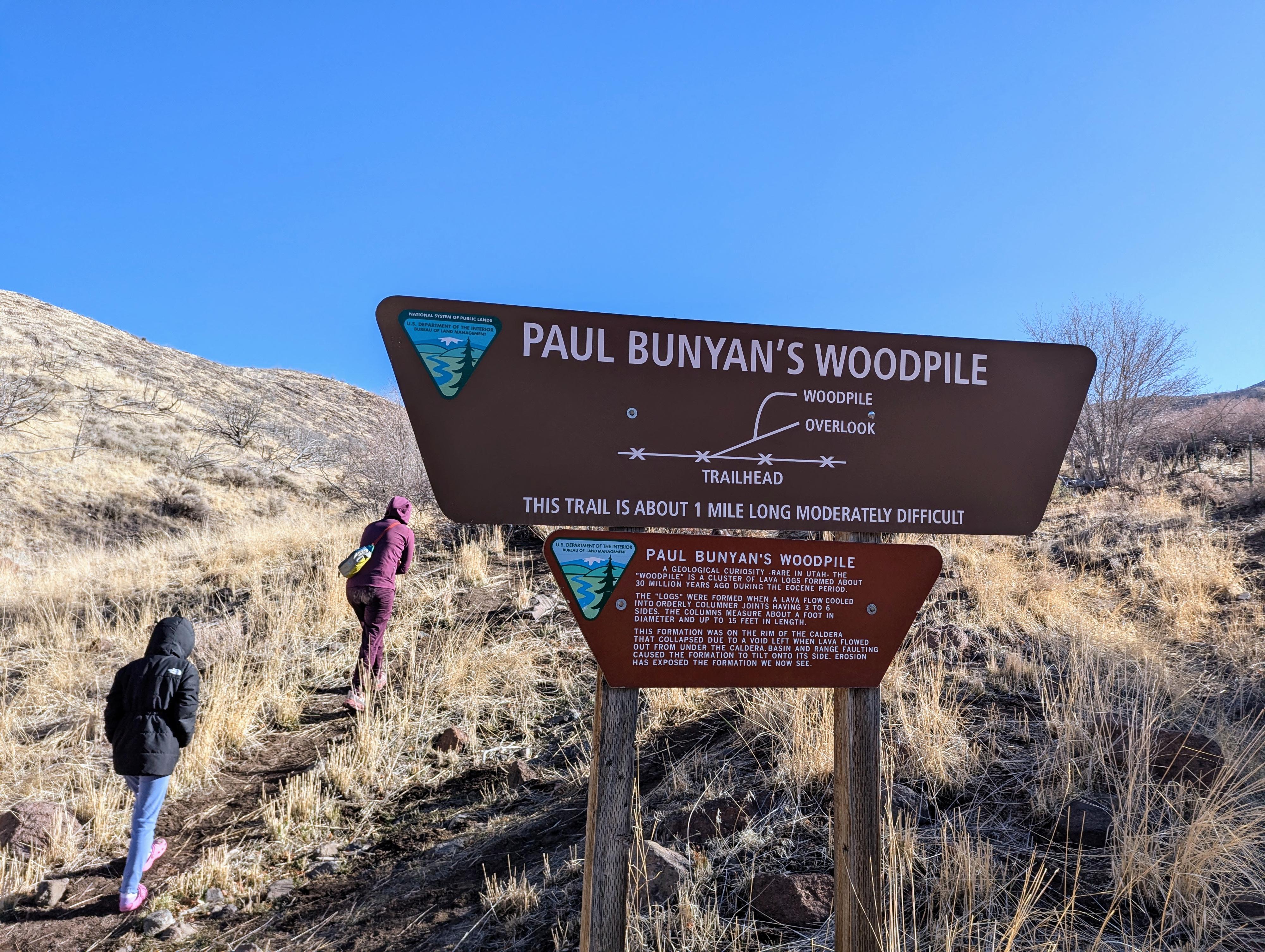
Getting started on the hike on a winters day.
Getting There
From the small town of Eureka, Utah, head west, then south on UT-6 for about 14.5 miles to milepost 125.45. Go left here, on a dirt road. There is a sign as you turn onto the dirt road for Paul Bunyan's Woodpile.
Follow the main dirt road, ignoring lesser side roads. About 1.2 miles from UT-6, another graded road comes in on the left, this one also goes back to UT-6. Stay straight, heading east, to the road's end at about 3.2 miles from UT-6. There is a picnic table and small parking area at the end of the road that marks the trailhead.
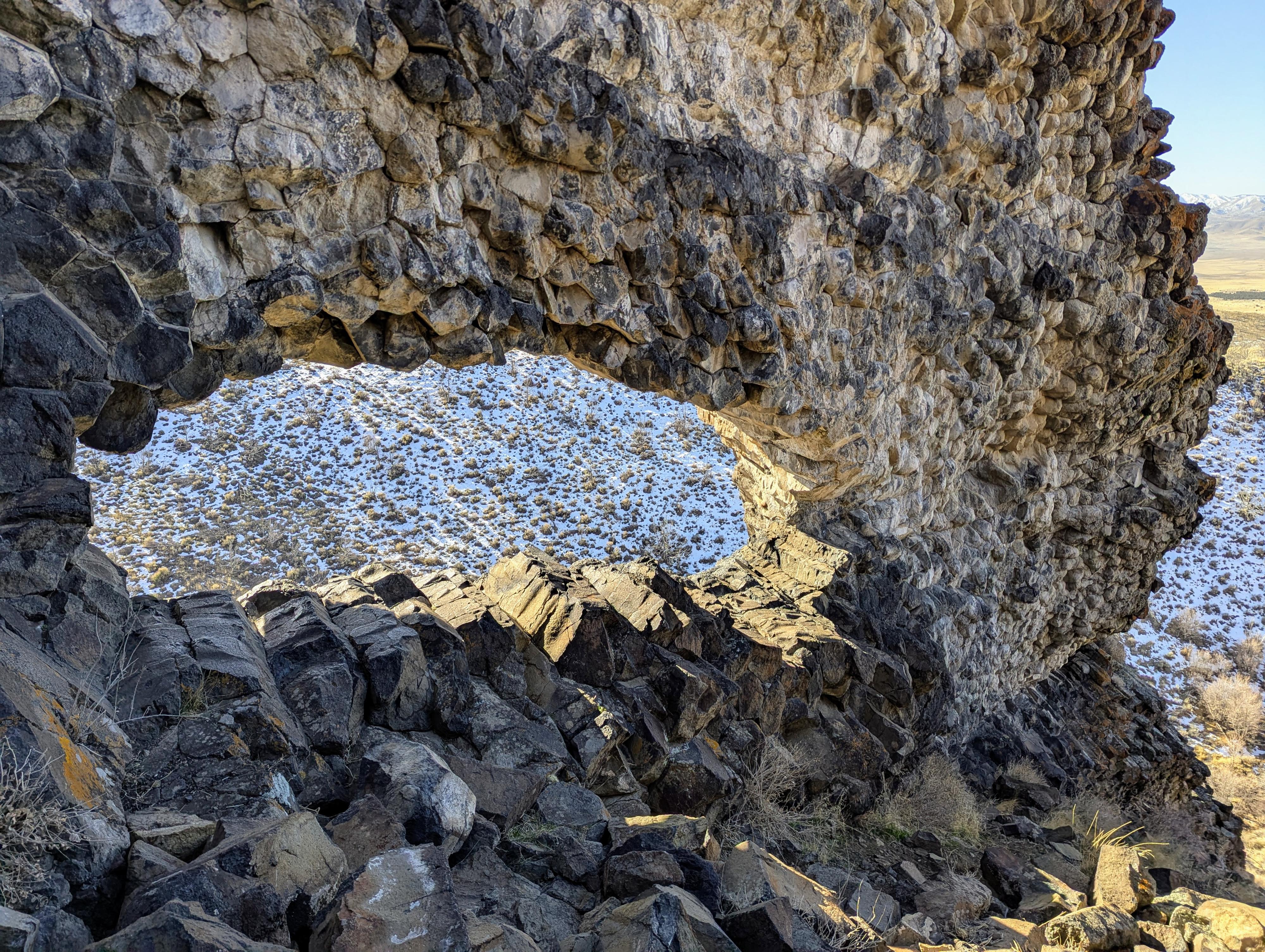
The arch at Paul Bunyan's Woodpile
Route
From the trailhead, pass through the fence, and follow the trail up the canyon. The area is heavily used by cows. The trail is easy to follow. It starts its path on the right side of the drainage, then descends to the drainage and follows it more closely.
About 0.5 miles from the trailhead, when the formation is visible and high on the left, there is an unsigned junction. Left goes, via a series of switchbacks, up to the top of the formation.
Right stays in the drainage bottom and ends with a view up at the arch and formation from below in just a few minutes.
On the left path, once on top of the formation, be sure to check out the arch. It is on the large formation closest to the drainage (south). You have to descend a loose rocky slope between two "woodpiles" to get to the arch, but it is pretty interesting to check out up close. I think it is more photogenic and more captivating up close than from below. From the trail at the bottom of the ravine, it doesn't stand out very well.
Return the same way.
Photos
Maps

| Trailhead |
12S 403780mE 4401766mN N39° 45' 37" W112° 07' 24" |
| Junction |
12S 404301mE 4402328mN N39° 45' 56" W112° 07' 02" |
| Arch |
12S 404486mE 4402419mN N39° 45' 59" W112° 06' 55" |