 Roadside Attraction
Tantalus Creek Corral
Roadside Attraction
Tantalus Creek Corral
Boulder Mountain
Overview
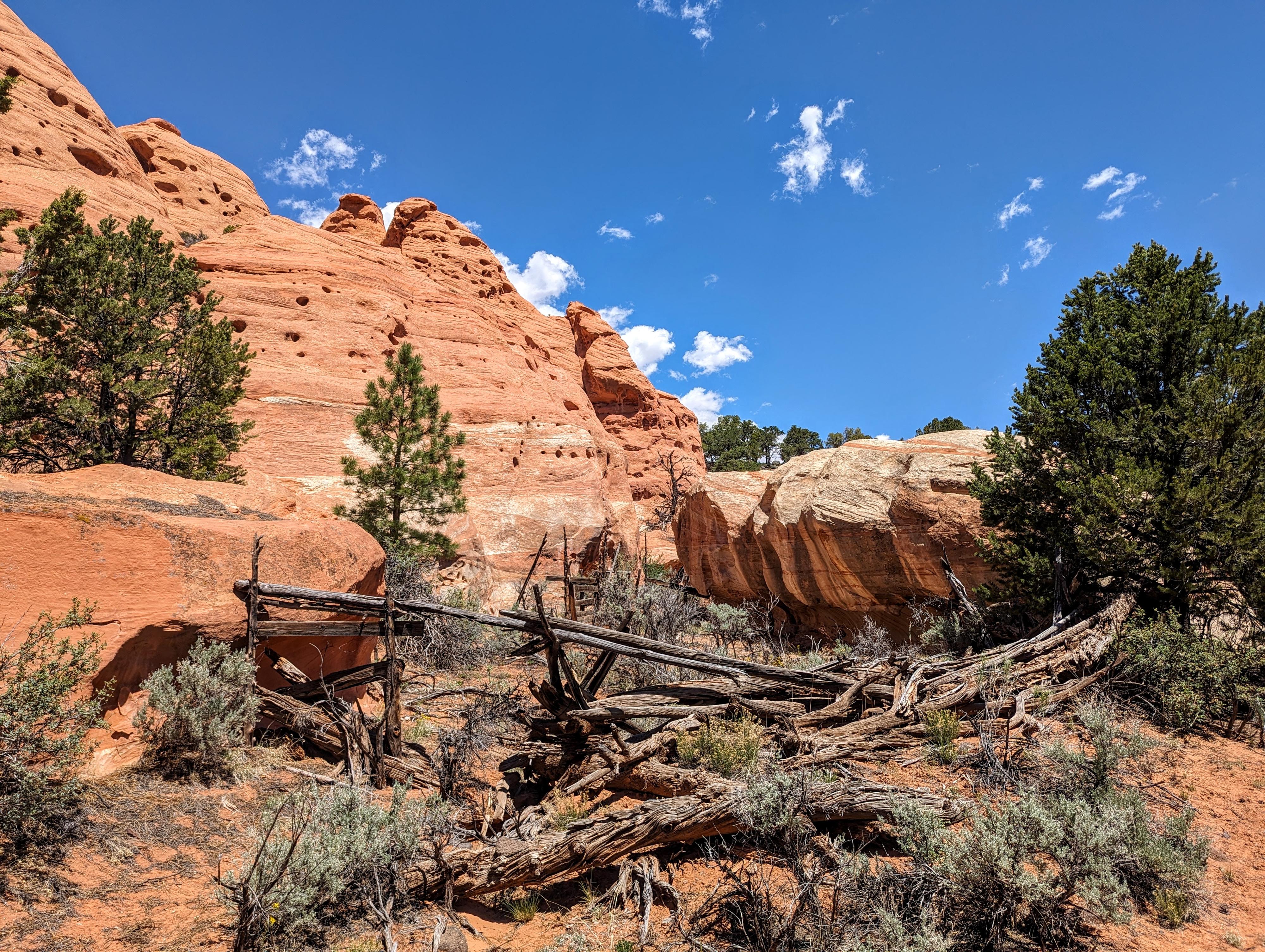
East of Lower Bowns Reservoir is Tantalus Creek. This small creek is a seeming oasis surrounded by sandstone cliffs. The small creek's banks, at least in spring on our visit, were as green and lush as any field I have seen and made for a striking contrast to the red wall around it.
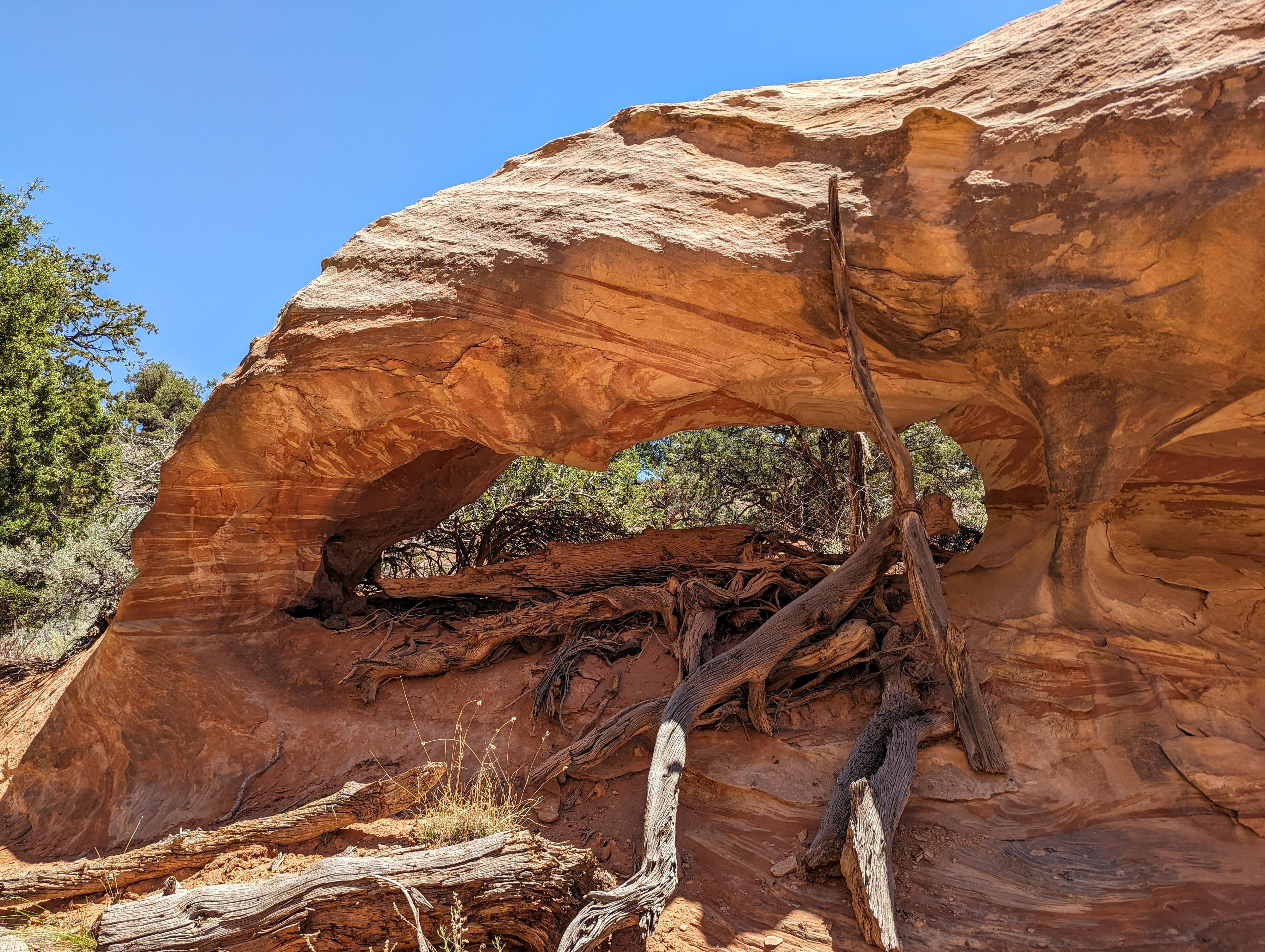
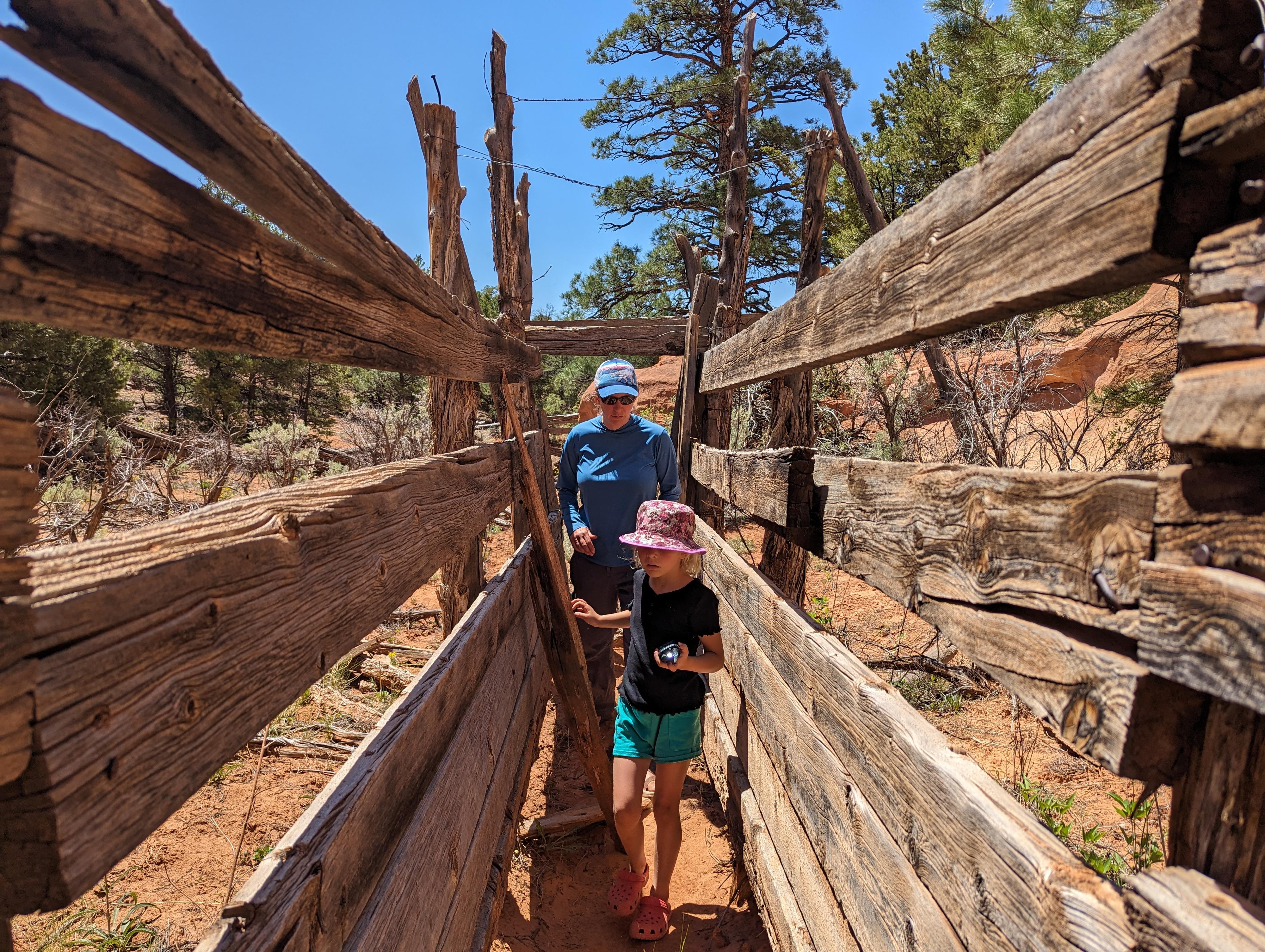
Near the creek is an old corral that hasn't been used in some time. The corral, a short distance from the trailhead, is tucked up among featured sandstone walls. A dramatic location, and worth the short walk to visit for both the scenery and historic corral.
This is not a spot I would go far out of my way to visit, but if in the area visiting Lower Pleasant Creek Falls or The Salmon, it is worth stopping to checkout.
Tantalus is a figure from Greek mythology, known for his grievous offenses against the gods and the severe punishment he endured as a result. He was a king, often identified as the son of Zeus and the nymph Plouto, and the father of Pelops, Niobe, and Broteas. His most notorious crime was stealing ambrosia and nectar from the gods to share with his mortal friends, an act which was considered a grave violation of divine trust.
Additionally, in a more gruesome myth, Tantalus is said to have killed his son, Pelops, and served him as a meal to the gods to test their omniscience. The gods, however, were not deceived and were horrified by Tantalus's actions. As punishment for these transgressions, Tantalus was condemned to an eternal torment in Tartarus (a deep, gloomy part of the underworld).
His punishment was to stand in a pool of water beneath a fruit tree with low branches. Whenever he reached for the fruit, the branches would lift out of his grasp, and whenever he bent down to drink, the water would recede. This gave rise to the term "tantalize," meaning to tease or torment by offering something desirable but keeping it out of reach.
The mythology behind the name makes me very curious about who and why they named the creek Tantalus Creek.
Getting There
The trailhead is east of UT-12 beyond Lower Bown Reservoir. To get there, head south on UT-12 from the UT-24/UT-12 junction east of Torrey. Follow UT-12 for about 17 miles to milepost 106.1.
Route Description
From the trailhead, follow a social trail north near the base of the sandstone cliffs. The old corral is only about a tenth of a mile (600 or so feet) from the trailhead. Return the same way.
Maps

12S 480717E 4221404N
38°08'25"N 111°13'12"W
12S 480495E 4221344N
38°08'23"N 111°13'21"W
12S 480490E 4221506N
38°08'28"N 111°13'22"W
12S 480489E 4221531N
38°08'29"N 111°13'22"W