
 Chimney Rock Trail
Capitol Reef
Overview
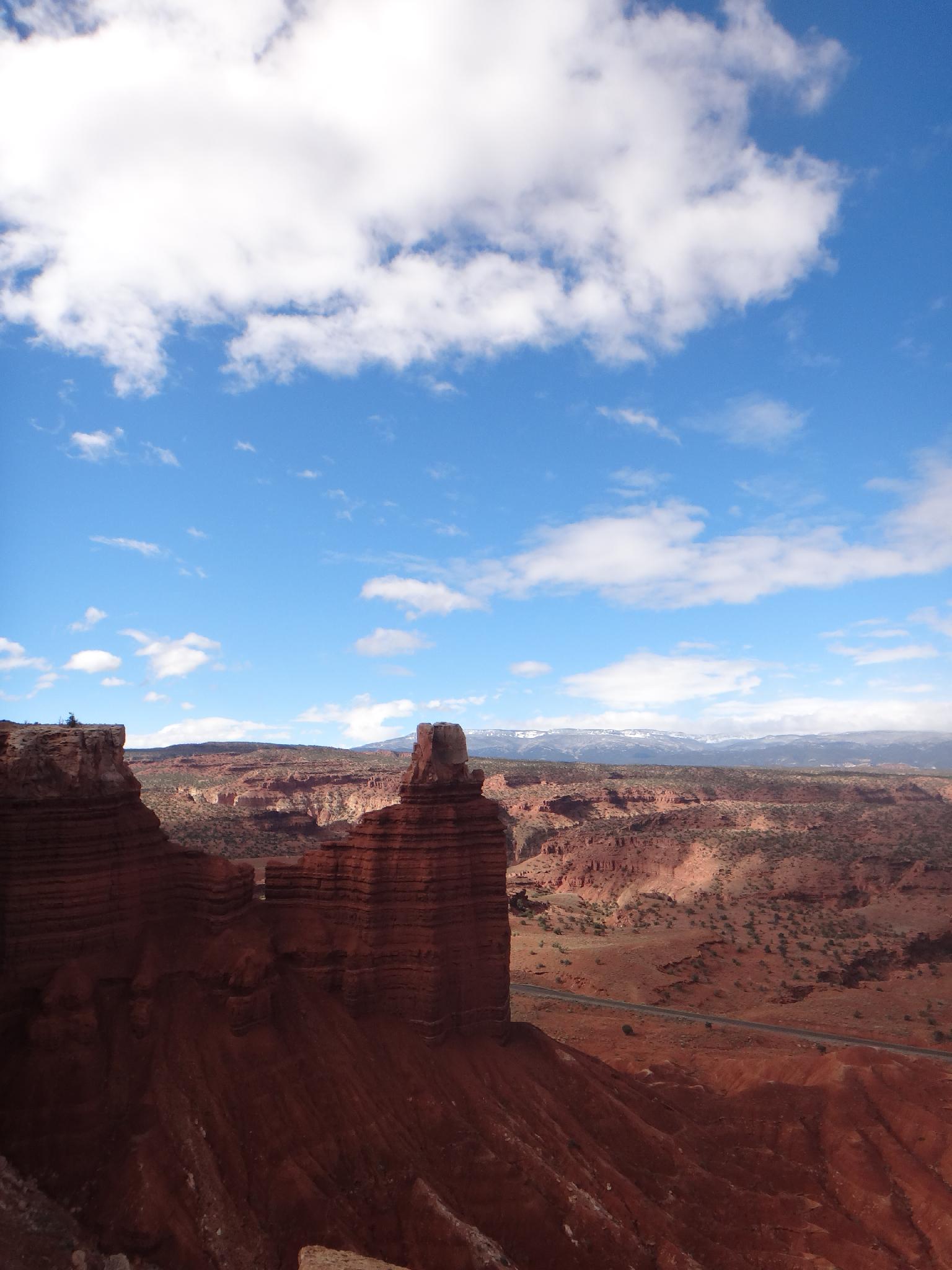
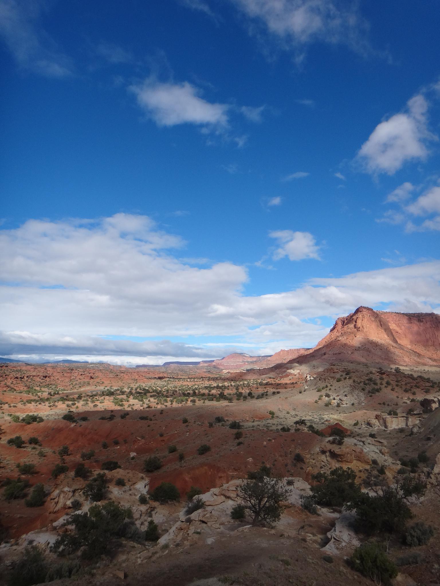
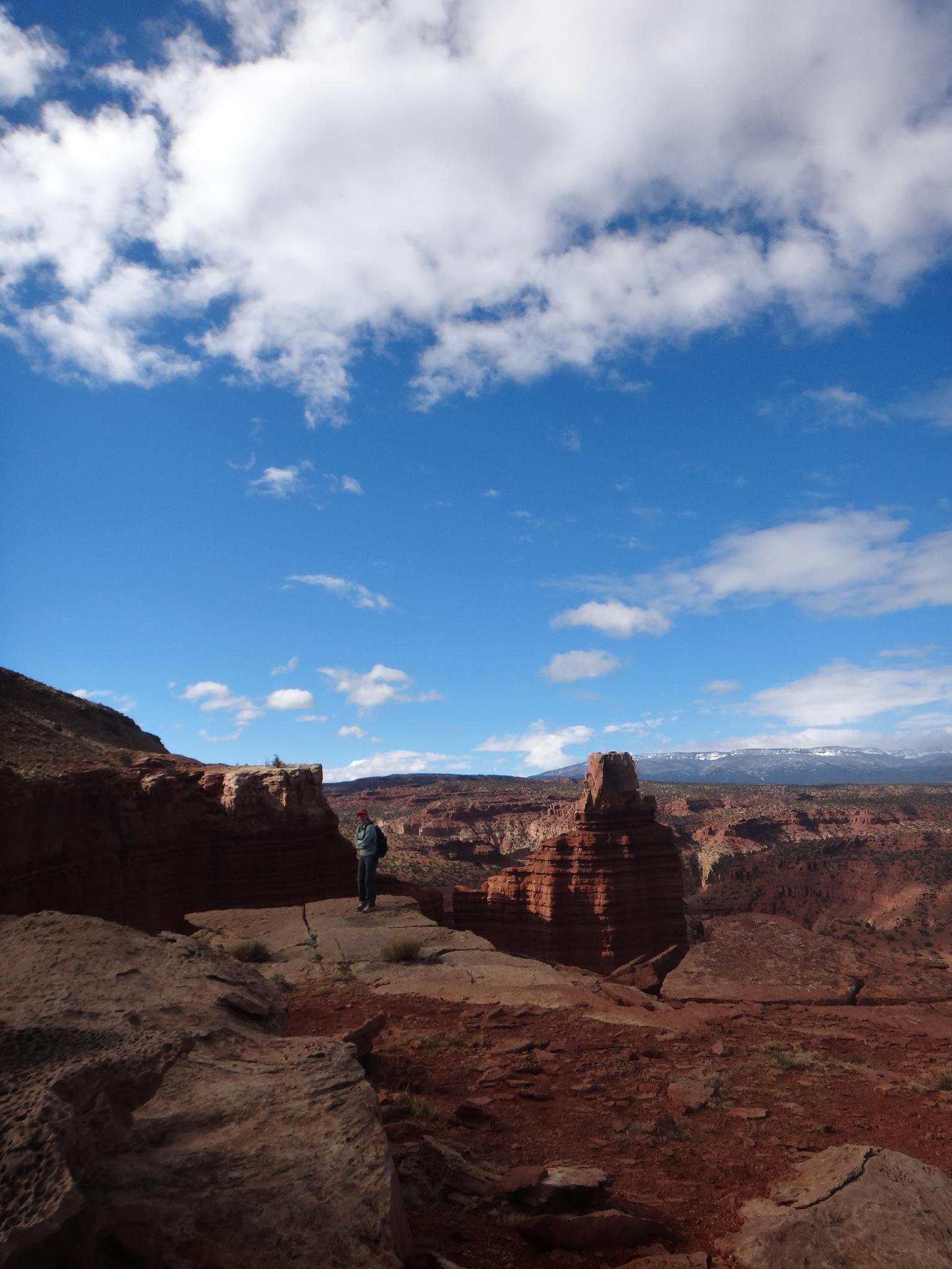
The Chimney Rock trail offers big views in a moderate hike from the trailhead. With a relatively easy 3.5 mile roundtrip distance and 810 feet of elevation gain, this is a popular hike accessible to most. The hike starts with views of Chimney Rock, an impressive Chinle Capped Moenkopi tower, and then winds up through the geological layers to a viewpoint of Chimney Rock, Waterpocket Fold, and Fruita from above. Sunset is an amazing time to visit.
For those looking for an all-day hike, this is the starting section of Lower Spring Canyon.
Getting There
The hike starts at the Chimney Rock trailhead. This is west on highway 24 out of the visitor center about 3 miles. The Chimney Rock trailhead is well signed on the right side of the road. (At milepost 76.4.)
Route Description
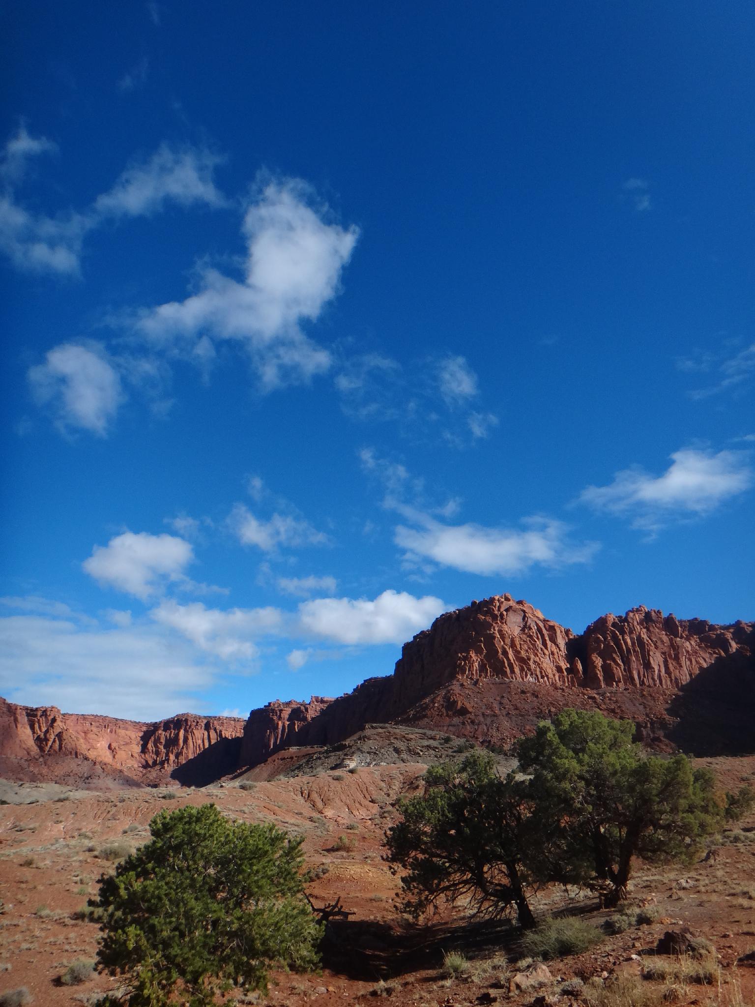
The trailhead is situated in the Moenkopi format, and meanders over and begins climbing to the mesa above. As it begins gaining elevation, it reaches the grey Chinle layer, with Wingate cliffs to the north. Follow switchbacks up to a junction at the top of the hill.
Go either direction at the junction; they come together again in a loop. I would recommend going right, counterclockwise. Shortly after making the right, a viewpoint of Chimney Rock from above makes a great spot for a break.
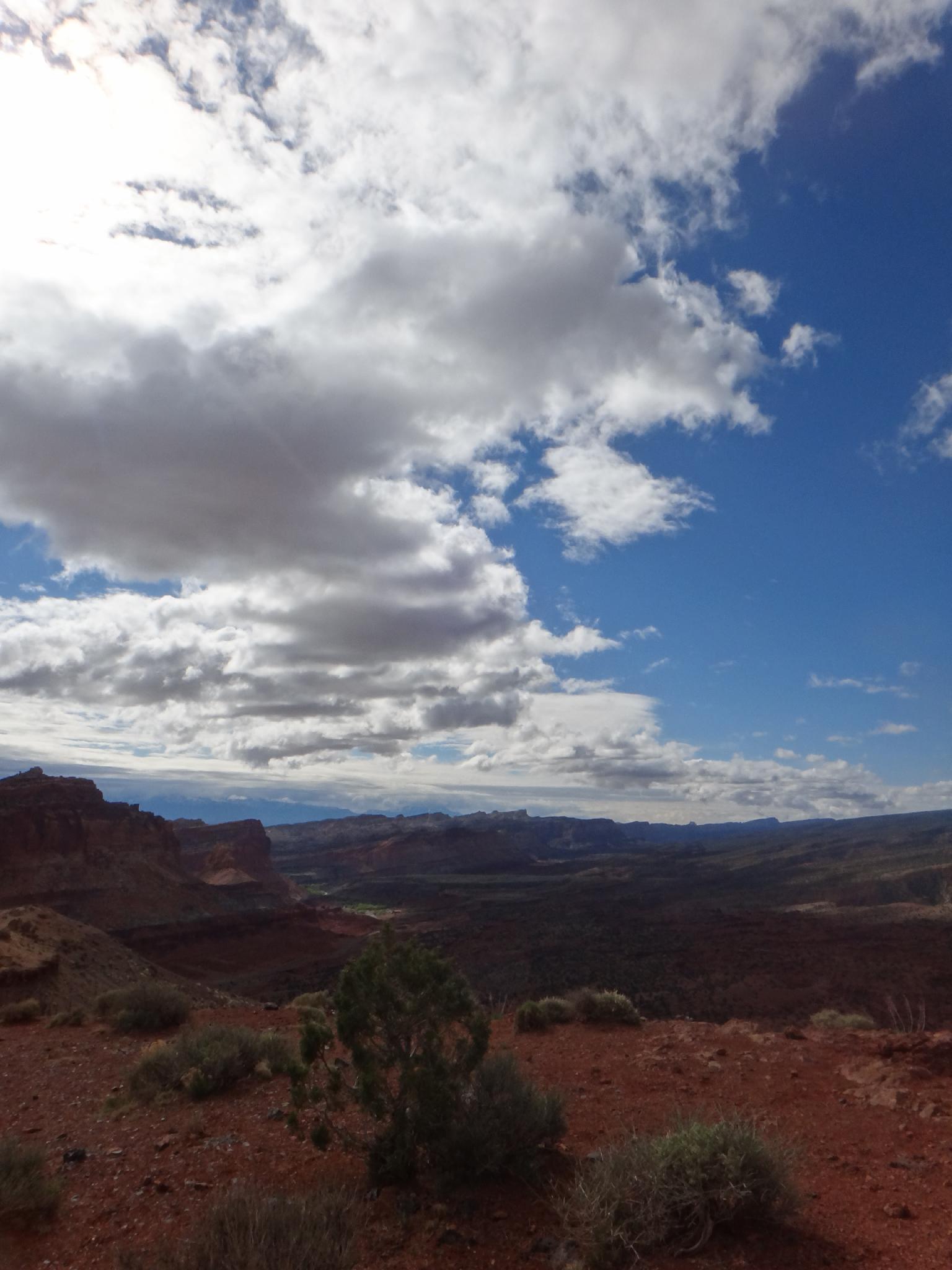
The trail continues to meander up to several great viewpoints of the Aquarius Plateau (Boulder Mountain) to the south, the visitor center and orchards below, and Waterpocket Fold to the southeast. The mountains far off to the east are the Henry Mountains.
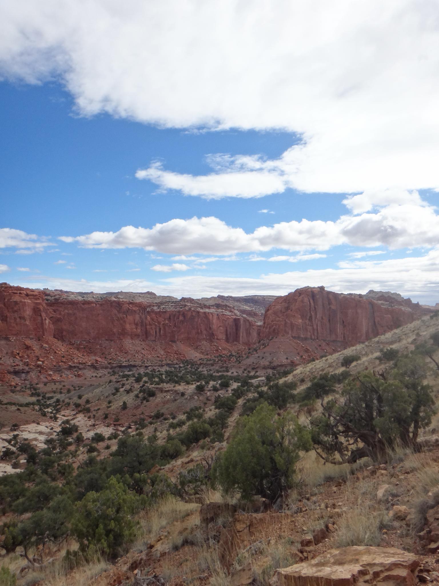
The trail descends to Chimney Rock Canyon. Be sure when you reach the junction in the bottom of Chimney Rock Canyon you go left. After making the left, the trail gradually climbs about a mile to return you to the trail junction at the top of the hill. Return down the switchbacks to the trailhead.
Photos
Maps

12S 473425E 4240881N
38°18'56"N 111°18'14"W
12S 473926E 4241087N
38°19'03"N 111°17'54"W
12S 475099E 4241073N
38°19'03"N 111°17'05"W