 Caving Danger and Jukebox Caves
Silver Island Mountains
Overview
|
Tue 41 | 24 |
Wed 42 | 25 |
Thu 44 | 26 |
Fri 44 | 26 |
Sat 47 | 29 |
| View Full Weather Details | ||||
|
Tue 41 | 24 |
Wed 42 | 25 |
Thu 44 | 26 |
Fri 44 | 26 |
Sat 47 | 29 |
| View Full Weather Details | ||||
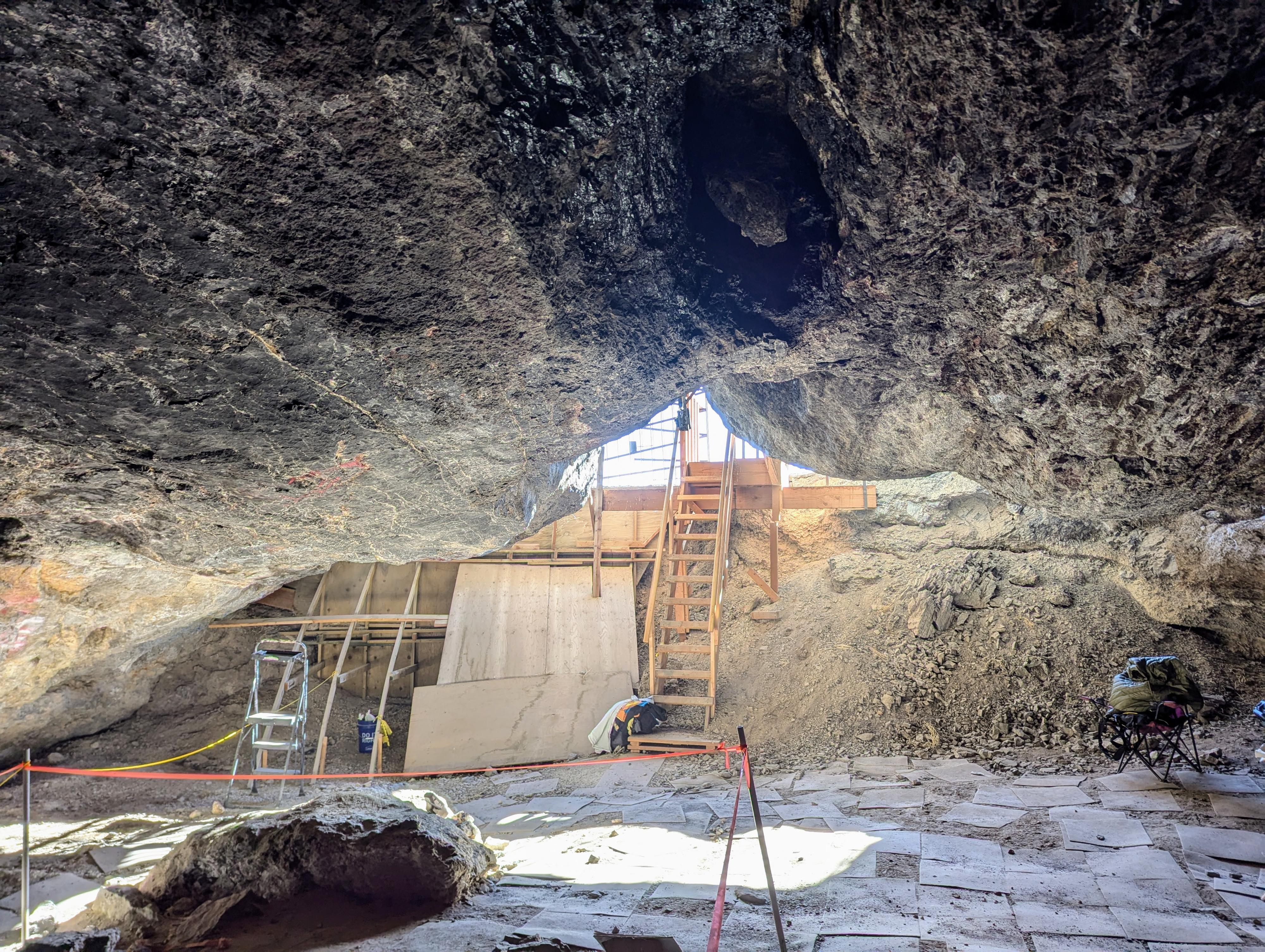
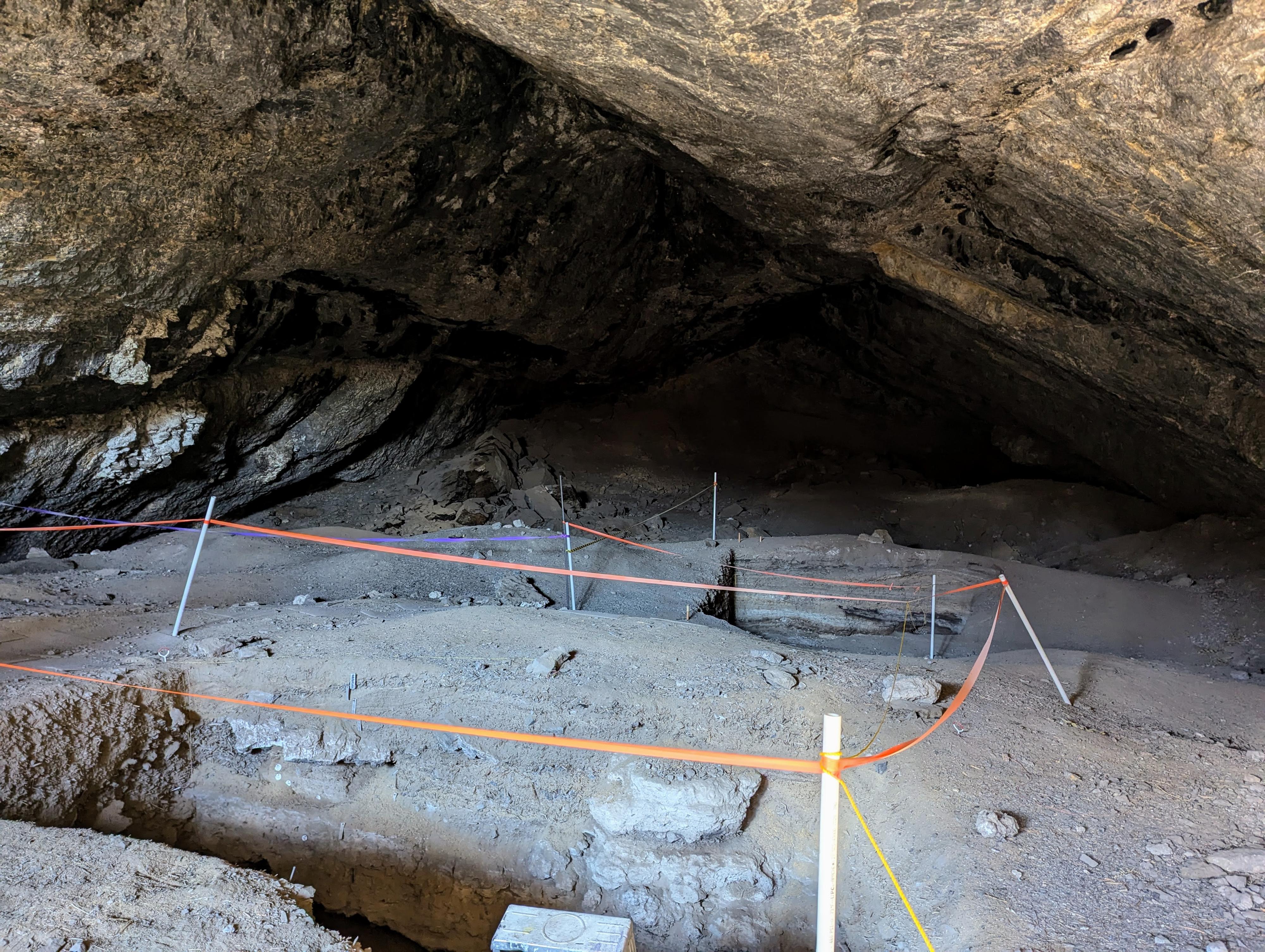
Danger Cave and Jukebox Cave are located just north of Wendover and within about 1/2 mile of each other. Danger Cave is considered one of the most significant archaeological sites in North America. The cave, a deep limestone alcove, was most famously excavated in the 1940s by archaeologist Jesse D. Jennings.
Dating back at least 11,000 years, Danger Cave holds evidence of some of the earliest human inhabitants in the region. Excavations revealed layers of artifacts that document a continuous human presence over millennia. The hundreds of thousands of items uncovered include tools, textiles, animal bones, seeds, and basketry, and provide insights into the hunter/gather life the peoples lived.
"Archaeologist Robert Heizer first investigated this cave in 1937. The opening was choked with debris, and the only access to the main chamber was through a low tunnel earning it the name "Hands and Knees Cave".
In 1941, E.R. Smith began the first extensive excavation of this site. His work ended early because of the large rock lying on the ground beside you. It broke free from the lip of the entrance, narrowly missing the excavating party. No injuries resulted, but it led to the abandonment of Smith's work, and inspired the name "Danger Cave".
As many as 34 archaeologists and laborers worked on the excavation, carefully uncovering and documenting each layer."
Jukebox Cave is about 1/2 mile north of Danger Cave, is a similar deep limestone alcove. Jukebox Cave was used around World War II by military personnel as a recreation site where they held dances, hence the name. They even went so far as to pour a small concrete dance floor in the back of the cave.
Like Danger Cave, Jukebox was also inhabited for millennia, though it has received much less excavation than Danger Cave.
Jukebox Cave has a large area of pictographs on one of its walls that I found fascinating. Because of the depictions of horses, bow and arrows, and possibly rifles, estimates are that the pictographs are more recent, in the last few hundred years.
Both sites are visited on the guided tour.
Getting There
Reaching the caves starts by going north off I-80 at exit 4. This is a few miles east of Wendover, UT, and about 115 miles west of Salt Lake City. Once off exit 4, go north. About 0.3 miles from the highway, take the first dirt road past the gas station on the left. Reset your odometer.
Follow this dirt road as it heads west for 1.4 miles to the first junction. Go right at this junction on either of the two roads that head northwest and parallel each other just a couple of feet apart.
2.1 miles from where you turned off the pavement and reset your odometer is a junction. Go left here as the road now heads west and curves south along the base of the cliffs. At about 2.5 miles from where you reset your odometer, a spur road leaves on the right to the parking are for Jukebox Cave.
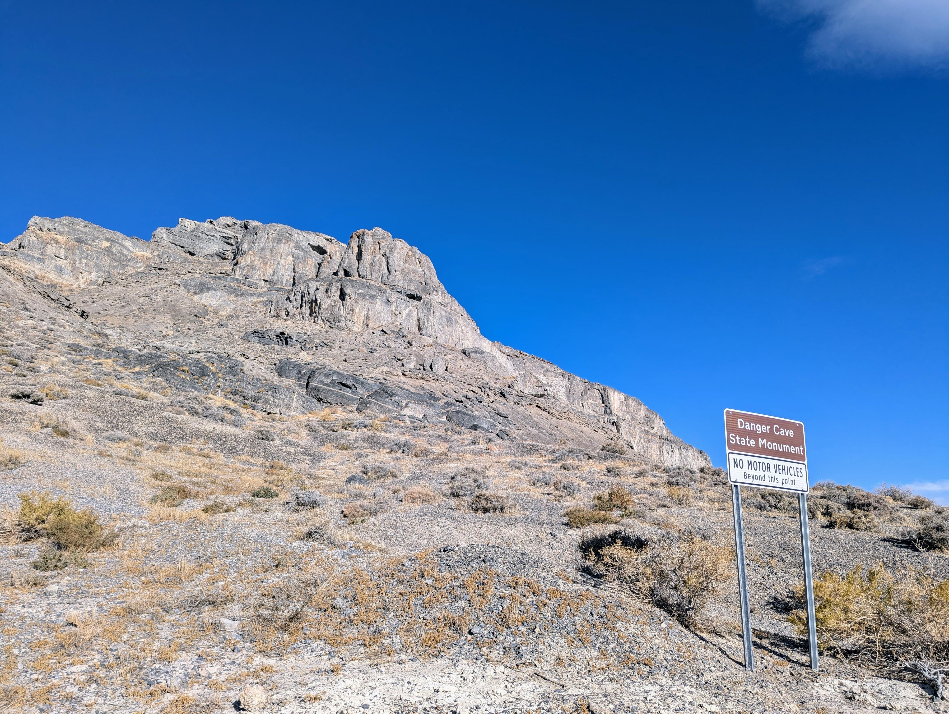
Continue straight to 3.1 miles where a sign and Danger Cave are on the right. There is a wide shoulder here for parking and an old road goes up to the entrance of Danger Cave.
Route
Jukebox Cave
From the parking area, a steep, loose trail goes up to the gated entrance of Jukebox Cave. It is steep enough and loose enough, not recommended for everyone. Again, the cave is gated, so you can look in but can't actually enter the cave.
Danger Cave
From the parking area, an old road goes a short distance up to the entrance of the cave, where an informational sign is placed. You can see in the cave, but can't enter it. At one time the entrance was dug out enough vehicles could enter the cave, but it has since been filled in and gated.
| Jukebox Cave Trailhead |
11T 752168E 4516026N 40°45'24"N 114°00'46"W |
| Jukebox Cave |
11T 752079E 4516073N 40°45'25"N 114°00'50"W |
| Danger Cave |
11T 751735E 4515170N 40°44'56"N 114°01'06"W |


