 Hiking Bunting Trail
Kanab
Overview
|
Wed 38 | 31 |
Thu 38 | 17 |
Fri 39 | 23 |
Sat 43 | 19 |
Sun 48 | 27 |
| View Full Weather Details | ||||
|
Wed 38 | 31 |
Thu 38 | 17 |
Fri 39 | 23 |
Sat 43 | 19 |
Sun 48 | 27 |
| View Full Weather Details | ||||
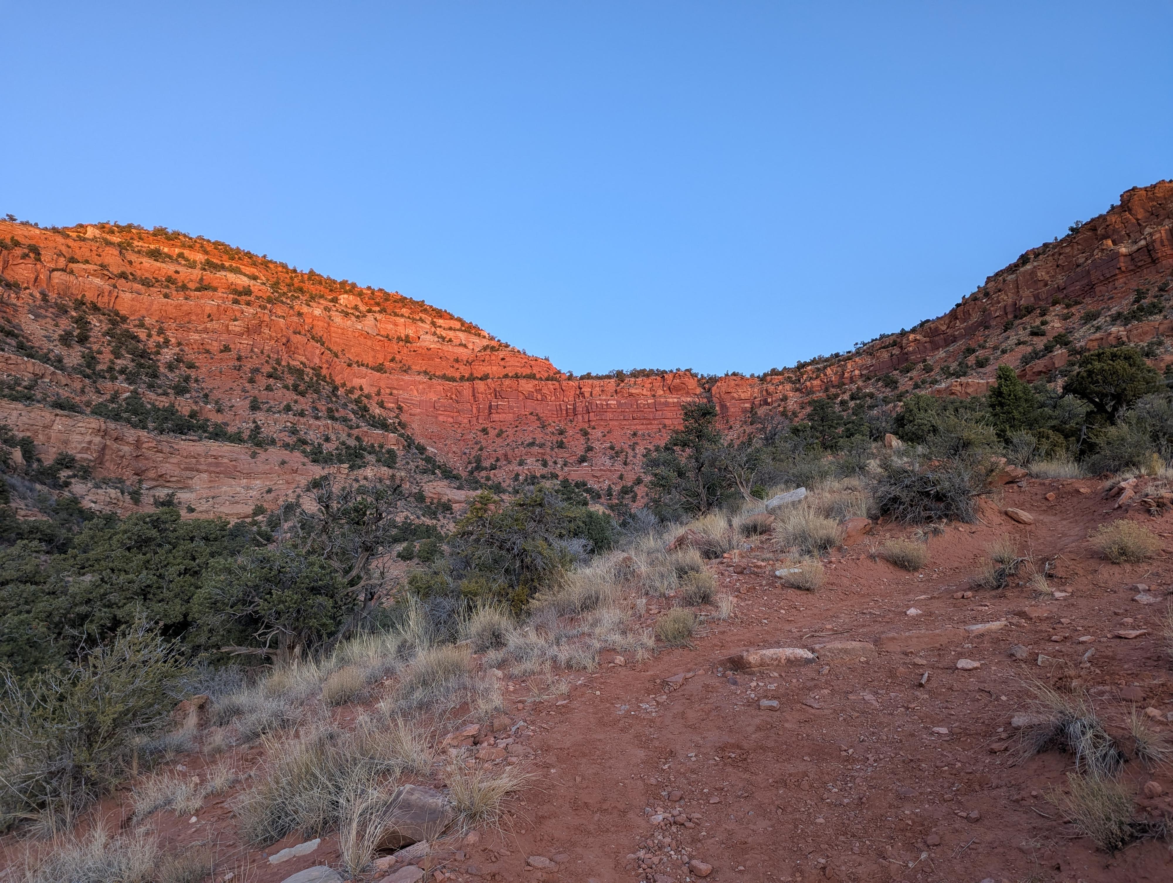
Just south of Kanab, The Bunting Trail, part of the Kanab tail system, is a hidden gem. A lovely hike with a lot to see; a dinosaur track, rock art, and expansive views. The hike has a few options for distance, with the dinosaur track being the shortest. I would rate the dinosaur track and a good outing for most. Continuing up to the rock art and summits is a bit more strenuous, but still very approachable by most if motivated. It is a popular trail, and I saw quite a few groups on my early morning visit. Some seemingly out for morning exercise, some families out with wide age ranges, and all seemed to be enjoying the hike and the day. Of the Kanab Trail system trails I have done, this is probably my favorite.
Getting There
From downtown Kanab, head south on US-89A toward Fredonia. About 2 miles south from the junction of US-89A (to Fredonia) and US-89 east to Page, turn right off US-89A onto Kanab Creek Drive.
Follow Kanab Creek Drive for 1.9 miles to Stansfield Drive on the right. Kanab Creek Drive meanders a bit en route, but is easy enough to follow. Once you turn onto Stansfield Drive, follow it for about 0.25 miles to where the Bunting Trail trailhead is signed, with a parking area on the right.
Route
Rock art and historic sites are fragile, non-renewable cultural resources that, once damaged, can never be replaced. To ensure they are protected, please:
- Avoid Touching the Petroglyphs: Look and observe, BUT DO NOT TOUCH!
- Stay on the Trails: Stay on the most used trails when visiting sites, and don't create new trails or trample vegetation.
- Photography and Sketching is Allowed: Do not introduce any foreign substance to enhance the carved and pecked images for photographic or drawing purposes. Altering, defacing, or damaging the petroglyphs is against the law -- even if the damage is unintentional.
- Pets: Keep pets on a leash and clean up after them.
- Artifacts: If you happen to come across sherds (broken pottery) or lithics (flakes of stone tools), leave them where you see them. Once they are moved or removed, a piece of the past is forever lost.
To Dinosaur Side Trail (0.6 miles one way)
From the trailhead, start up the easy and wide trail. About 0.6 miles from the trailhead, as the main trail crosses a wash, the signed dinosaur track trail leaves on the left.
Dinosaur Track Side Trail (0.5 miles round-trip)
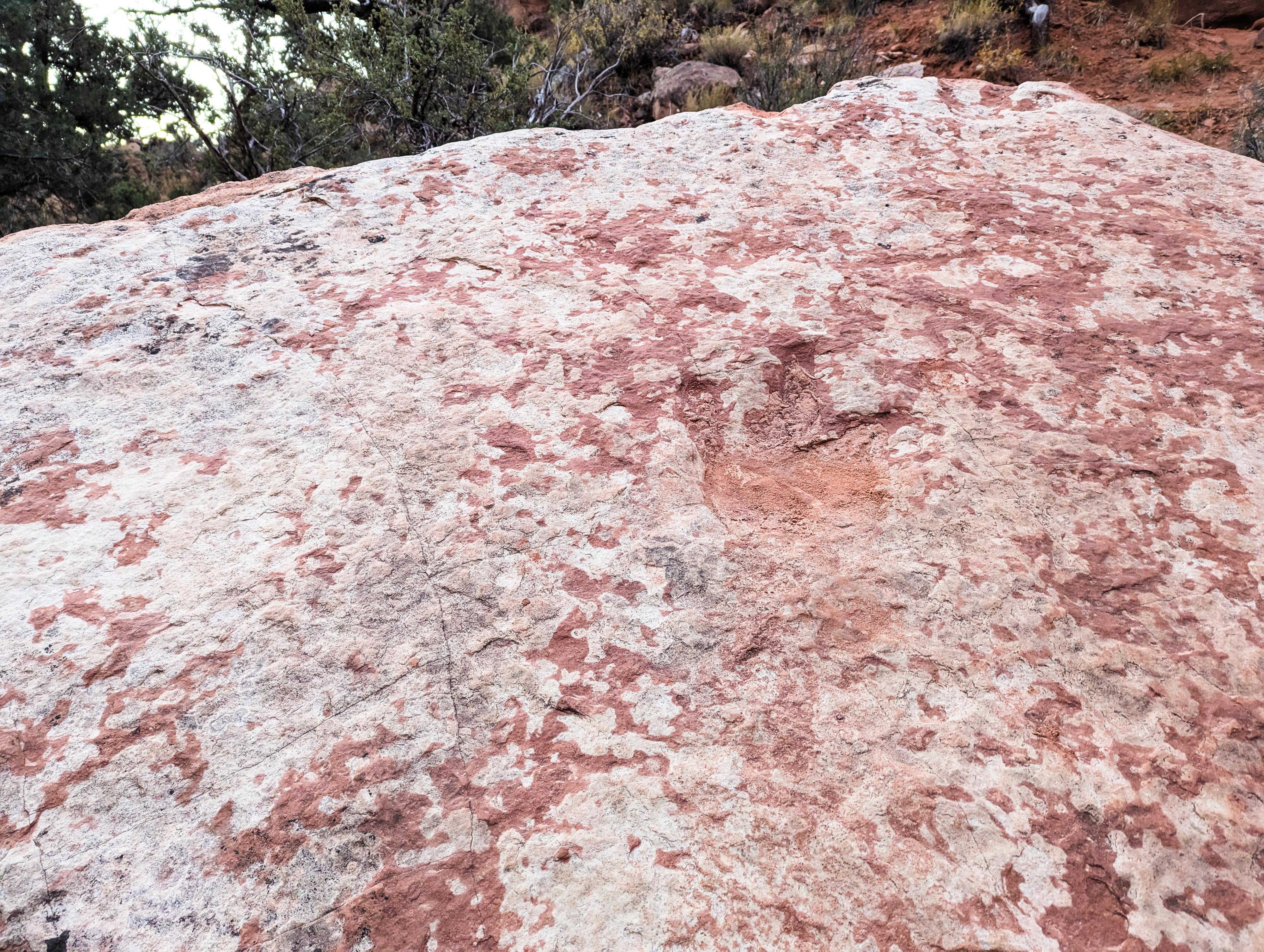
The Dinosaur Track side trail meanders up, mostly in the wash bottom. It is a short 1/4 of a mile from the junction to the trails end at a sign and large boulder. The large boulder has the dinosaur track on its face. Return to the main trail the same way.
To The Ridge Junction (0.6 miles one way)
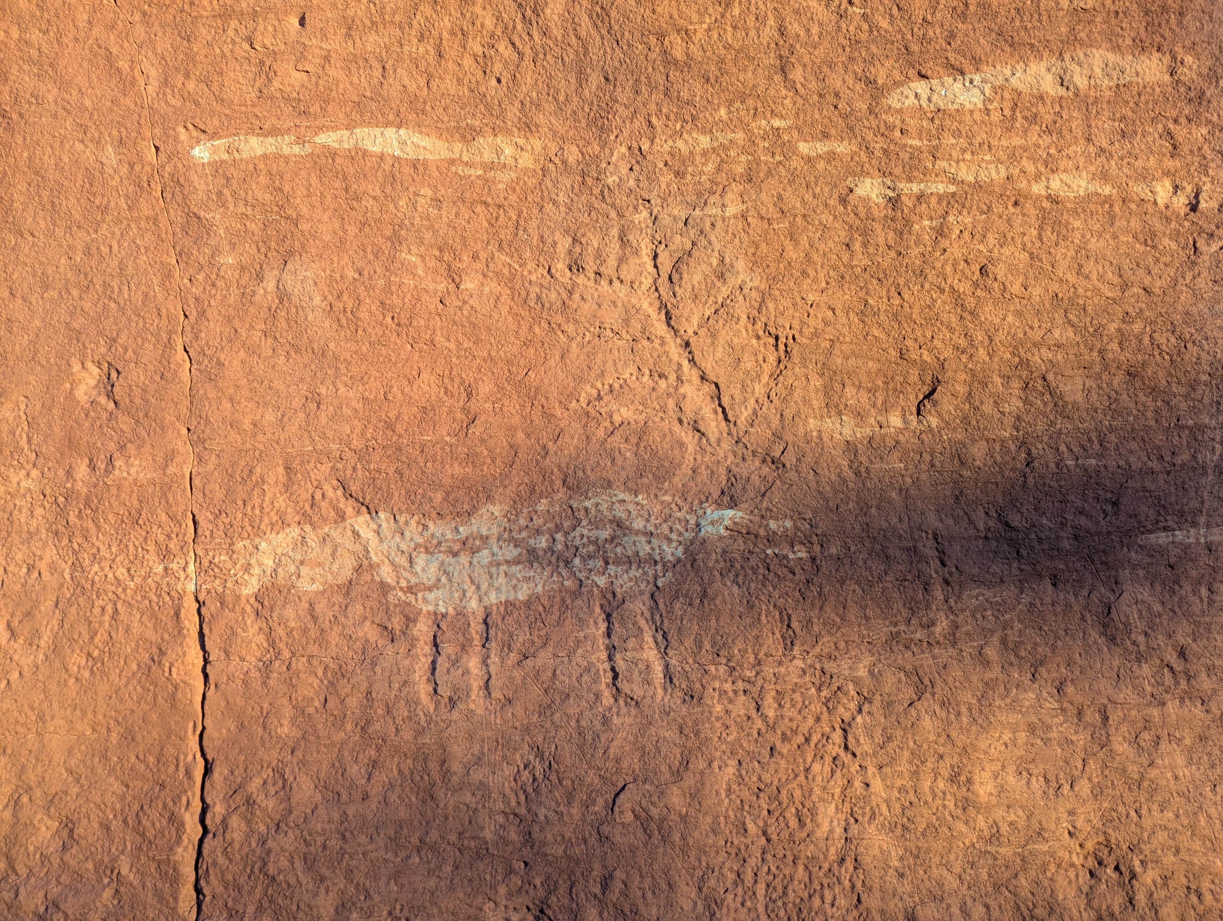
From the Dinosaur Track side trail junction, continue up the main Bunting Trail. The trail steepens from here on out! A few switchbacks make the hike seem more manageable. There are many great spots to stop and catch your breath.. err... take in the views. As the trail nears the top, it comes close to a small cliff base. Look for rock art here. It would be easy to miss, except the BLM has a small sign here about site etiquette.
From the rock art, there is one more short, steep section to the ridge and a signed junction.
You have two options from the spur trail junction. Option 1 is to continue climbing the official trail to Bunting Point. This is the left side when facing the junction. It is steep, and has good views from the top. Option 2 is to go right at the spur junction and follow an unofficial social trail east along the narrow ridge to an overlook of Kanab. If short on time, I would recommend Option 2, if looking for a longer hike, do both!
Main Trail to Bunting Point (Left at the spur junction, 1 mile round-trip from the spur trail junction)
Head up! The trail begins a steep climb up to the top and what is known as Bunting Point. Once on top, the trail continues left along the edge for a short distance before devolving into an animal trail. If motivated, you can follow animal trails south to the south rim and views toward the distant Grand Canyon.
Spur Trail to Overlook (Right at the spur junction, 1.2 miles round-trip from the spur trail junction)
Follow the right fork of the trail from the spur junction. This is an unofficial social trail, but very well travelled. It meanders out along the narrow ridge to an overlook down on Kanab. The views and exposure of this trail make it the more popular option. It is a gem! Return to the spur junction the same way.
| Trailhead |
12S 361269E 4098379N 37°01'17"N 112°33'34"W |
| Rock Art |
12S 360677E 4099688N 37°01'59"N 112°33'59"W |
| Dinosaur Side Trail |
12S 360984E 4099200N 37°01'43"N 112°33'47"W |
| Dinosaur Track |
12S 360733E 4099419N 37°01'50"N 112°33'57"W |
| Spur Trail Jct |
12S 360594E 4099728N 37°02'00"N 112°34'03"W |


