 Cedar Wash Arch
Hole In The Rock Road
Overview
|
Sun 69 | 32 |
Mon 72 | 37 |
Tue 74 | 41 |
Wed 74 | 44 |
Thu 73 | 44 |
| View Full Weather Details | ||||
|
Sun 69 | 32 |
Mon 72 | 37 |
Tue 74 | 41 |
Wed 74 | 44 |
Thu 73 | 44 |
| View Full Weather Details | ||||
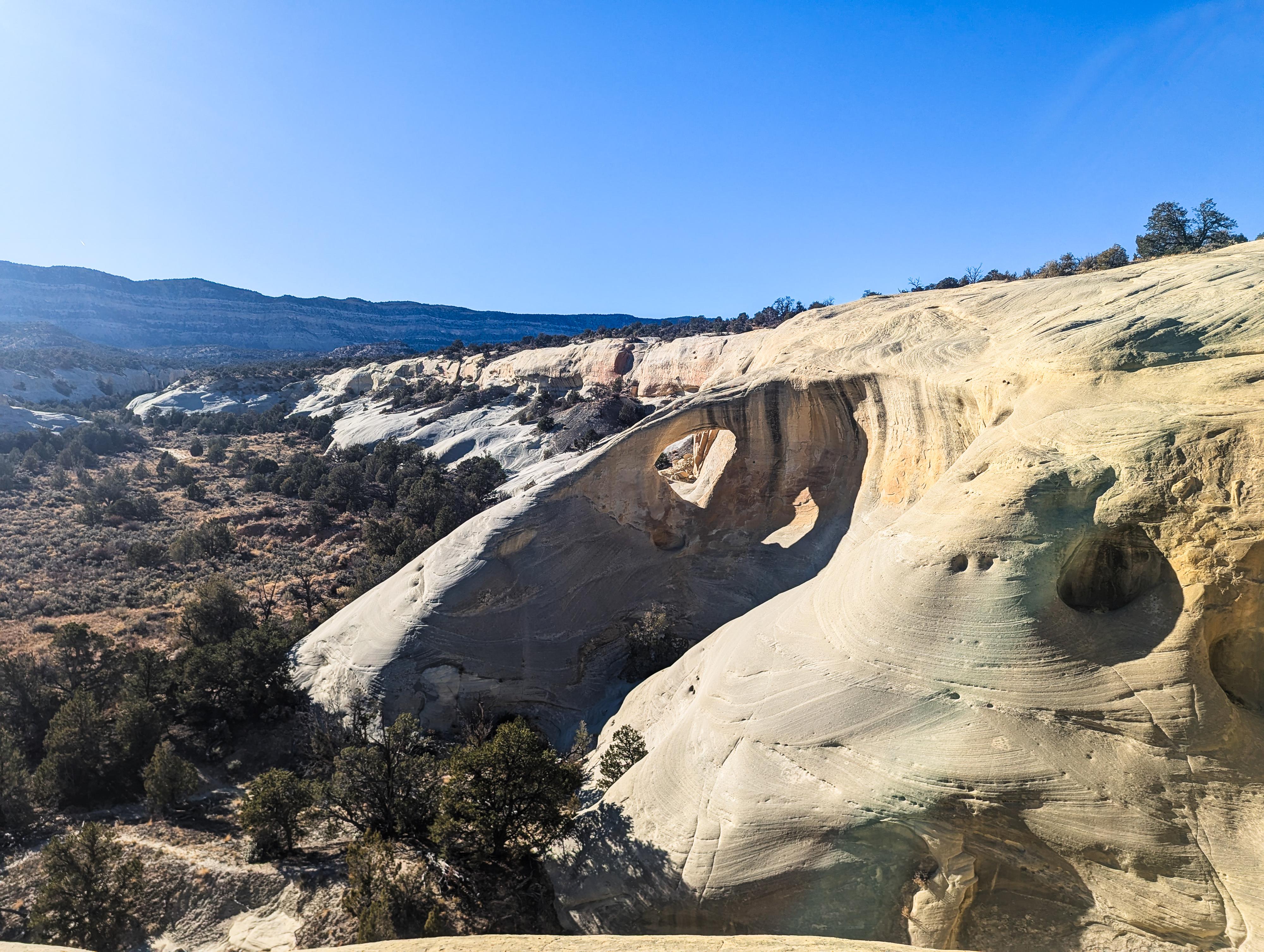
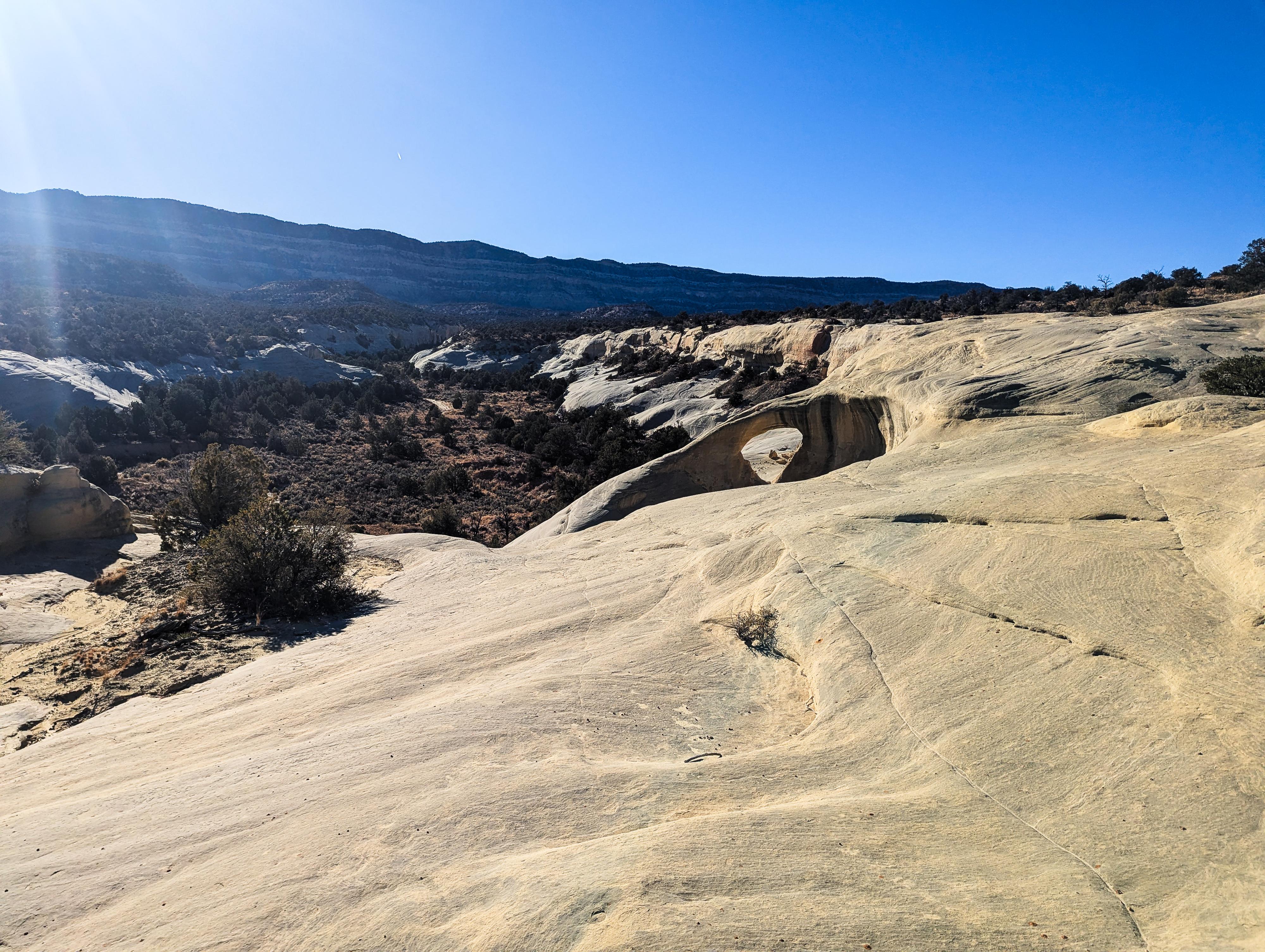
Cedar Wash Arch is relatively small, with about a 5 m ( 17 ft. ) span, but quite scenic in its shape along the cliff face. This is a short walk, taking less than 5 minutes round-trip from the trailhead to the arch and back. I highly recommend if visiting this arch to visit the Covered Wagon Natural Bridge. It is nearby, and also a short outing.
Getting There
Head east out of the town of Escalante about 5 miles on highway 12 until the well signed Hole in the Rock road on the south side of highway 12. Reset the odometer as you turn onto this road.
Head down the Hole in the Rock road for 3.4 miles to where the signed Cedar Wash Road leaves on the right (south) side. Reset your odometer as you turn onto the Cedar Wash Road. The road passes through private land, so be sure to stay on it. Not far from the Hole in The Rock road, a couple of spur roads leave on the left to a gravel pit, stay right on the Cedar Wash road. There are quite a few smaller side roads from here, but stay on the main Cedar Wash road.
After about a mile, a side road leaves on the left that may be a little confusing, stay right here on the more used Cedar Wash Road.
At 3.4 miles is a junction. If you have a 4wd, you can go left at this junction and follow the sandy road 0.2 miles to its end. This is the 4wd trailhead.
If not in a 4wd, continue straight on the Cedar Wash road to the next junction at mile 3.6, about 0.2 miles past the 4wd side road. This is the 2wd trailhead.
Route
4WD Trailhead
From the parking area, follow a social trail that heads southwest down sand to slick rock. It is only about 500' from the parking area to where you are overlooking Cedar Wash Arch.
2WD Trailhead Hike
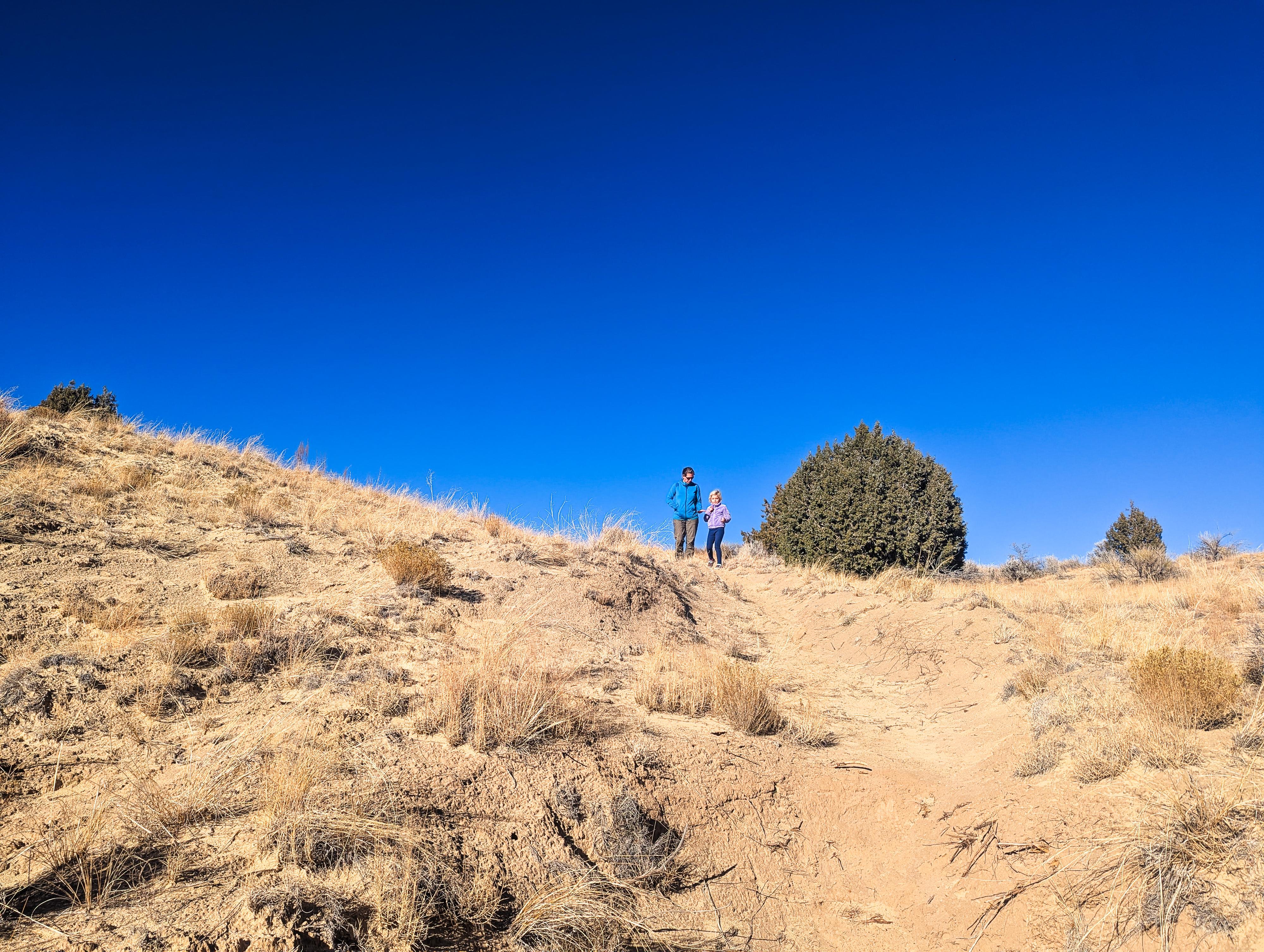
From the parking area, follow any one of several social trails that head south to the rim of the canyon, then follow the rim of the canyon east. You will get glimpses of the arch before reaching. This route is about 1/3 of a mile one way to the arch. Return the same way.
| 4wd Trailhead |
12S 452487mE 4168422mN N37° 39' 42" W111° 32' 19" |
| Overlook |
12S 452404mE 4168324mN N37° 39' 39" W111° 32' 23" |
| Cedar Wash Arch |
12S 452324mE 4168322mN N37° 39' 39" W111° 32' 26" |
| 2wd Trailhead |
12S 451963mE 4168387mN N37° 39' 41" W111° 32' 41" |


