 Hiking Covered Wagon Natural Bridge
Hole In The Rock Road
Overview
|
Sat 56 | 27 |
Sun 69 | 33 |
Mon 70 | 38 |
Tue 73 | 41 |
Wed 74 | 44 |
| View Full Weather Details | ||||
|
Sat 56 | 27 |
Sun 69 | 33 |
Mon 70 | 38 |
Tue 73 | 41 |
Wed 74 | 44 |
| View Full Weather Details | ||||
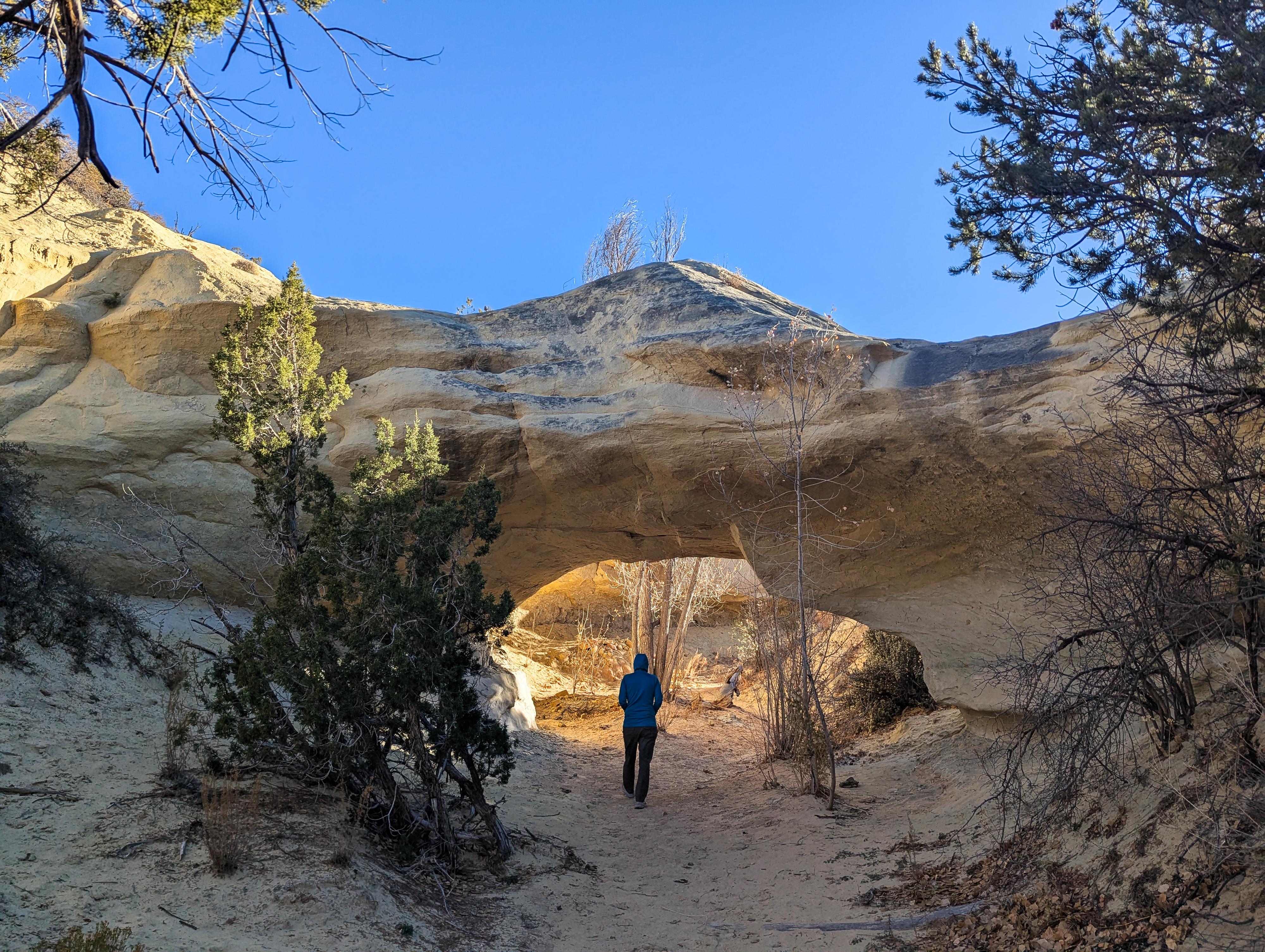
Covered Wagon Natural Bridge is tucked in a wash near the base of the Straight Cliffs, not far off the Hole-In-the-Rock road. This is a short hike suitable for most. The hike makes a short downhill journey to the base of the wash, then a short distance up the wash to Covered Wagon Natural Bridge. The bridge has a span of about 7 m ( 23 ft. ). It is an easy to scramble up to the top of as well, making for some fun photos.
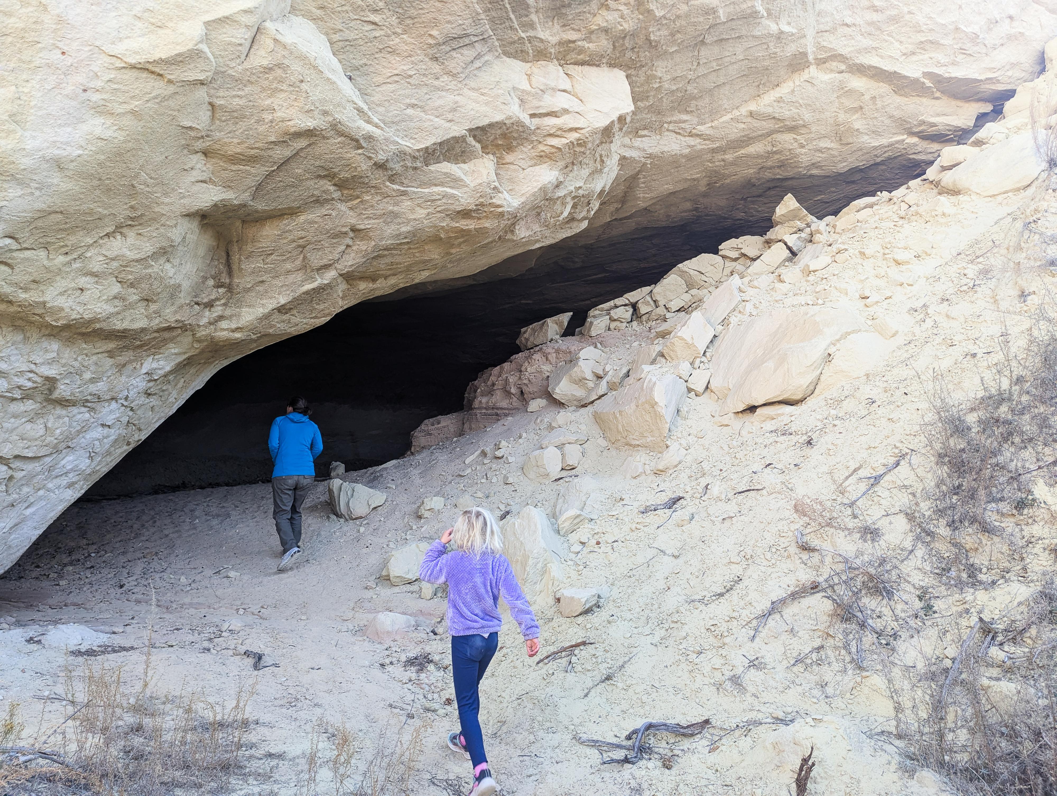
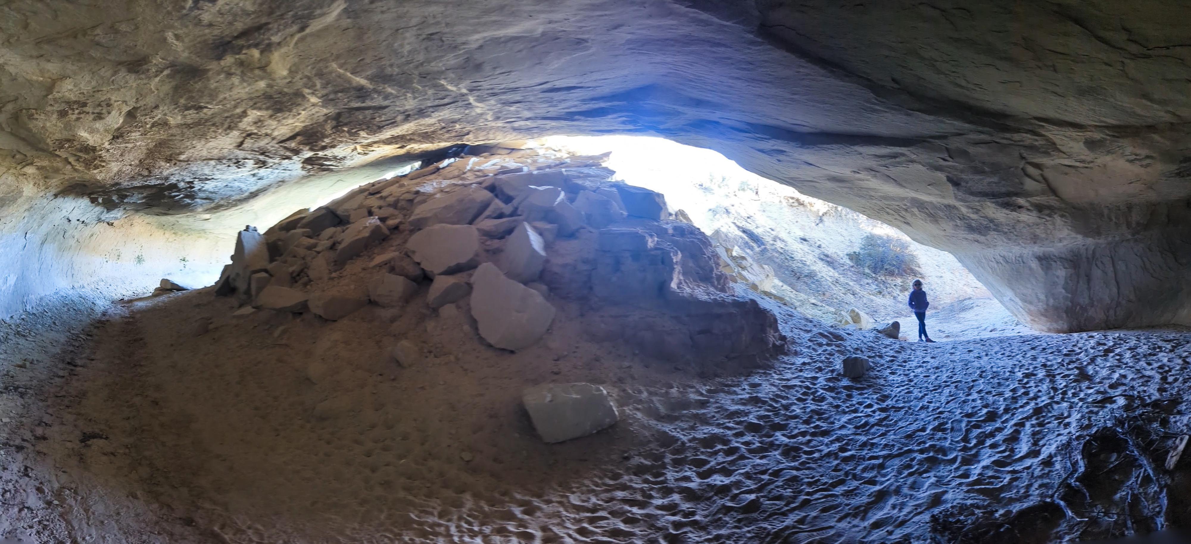
Just upstream from the natural bridge is a bend in the wash that has collapsed on the inside of the bed, creating a natural tunnel to wander through.
This is a great, short, outing that I think most will enjoy. My 7-year-old enjoyed it, but so did my wife and me.
If in the area, be sure to visit Cedar Wash Arch as well, since it is right off the road on the approach.
Getting There
Head east out of the town of Escalante about 5 miles on highway 12 until the well signed Hole in the Rock road on the south side of highway 12. Reset the odometer as you turn onto this road.
Head down the Hole in the Rock road for 3.4 miles to where the signed Cedar Wash Road leaves on the right (south) side. Reset your odometer as you turn onto the Cedar Wash Road. The road passes through private land, so be sure to stay on it. Not far from the Hole in The Rock road, a couple of spur roads leave on the left to a gravel pit, stay right on the Cedar Wash road. There are quite a few smaller side roads from here, but stay on the main Cedar Wash road.
After about a mile, a side road leaves on the left that may be a little confusing, stay right here on the more used Cedar Wash Road.
At 3.4 miles is a junction. Stay right, left is the 4wd trailhead for Cedar Wash Arch. At about 3.6 miles is a parking area on the right, this is the 2wd trailhead for Cedar Wash Arch, continue straight on the Cedar Wash road.
At 4.75 miles, as the road makes a bend, there is a small parking area on the left. This is the Covered Wagon Natural Bridge trailhead.
Route
From the trailhead, follow the trail that descends to the wash bottom. Once at the bottom of the wash, head upstream to the natural bridge. It is less than 5 minutes from the trailhead to the bridge.
Be sure to continue past the bridge another minute to the bend that has collapsed on the inside of the bend and created a tunnel to walkthrough. Always interesting to see the features in the desert.
Return the same way.
| Covered Wagon Bridge Trailhead |
12S 450410mE 4168247mN N37° 39' 36" W111° 33' 44" |
| Covered Wagon Bridge |
12S 450294mE 4168245mN N37° 39' 36" W111° 33' 49" |


