 Hiking The Nautilus
Paria
Overview
|
Wed 67 | 38 |
Thu 69 | 39 |
Fri 70 | 38 |
Sat 72 | 42 |
Sun 73 | 44 |
| View Full Weather Details | ||||
|
Wed 67 | 38 |
Thu 69 | 39 |
Fri 70 | 38 |
Sat 72 | 42 |
Sun 73 | 44 |
| View Full Weather Details | ||||
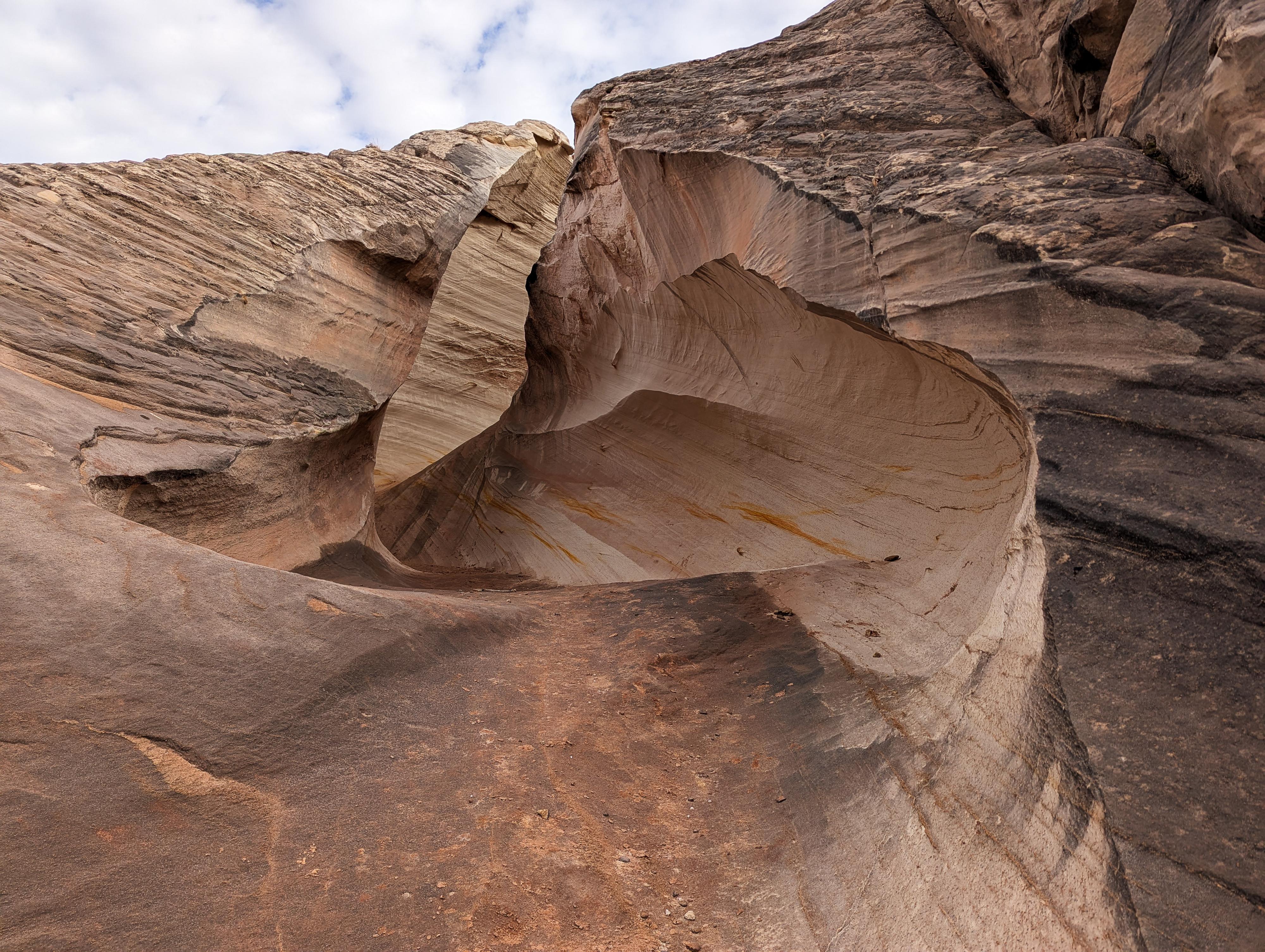
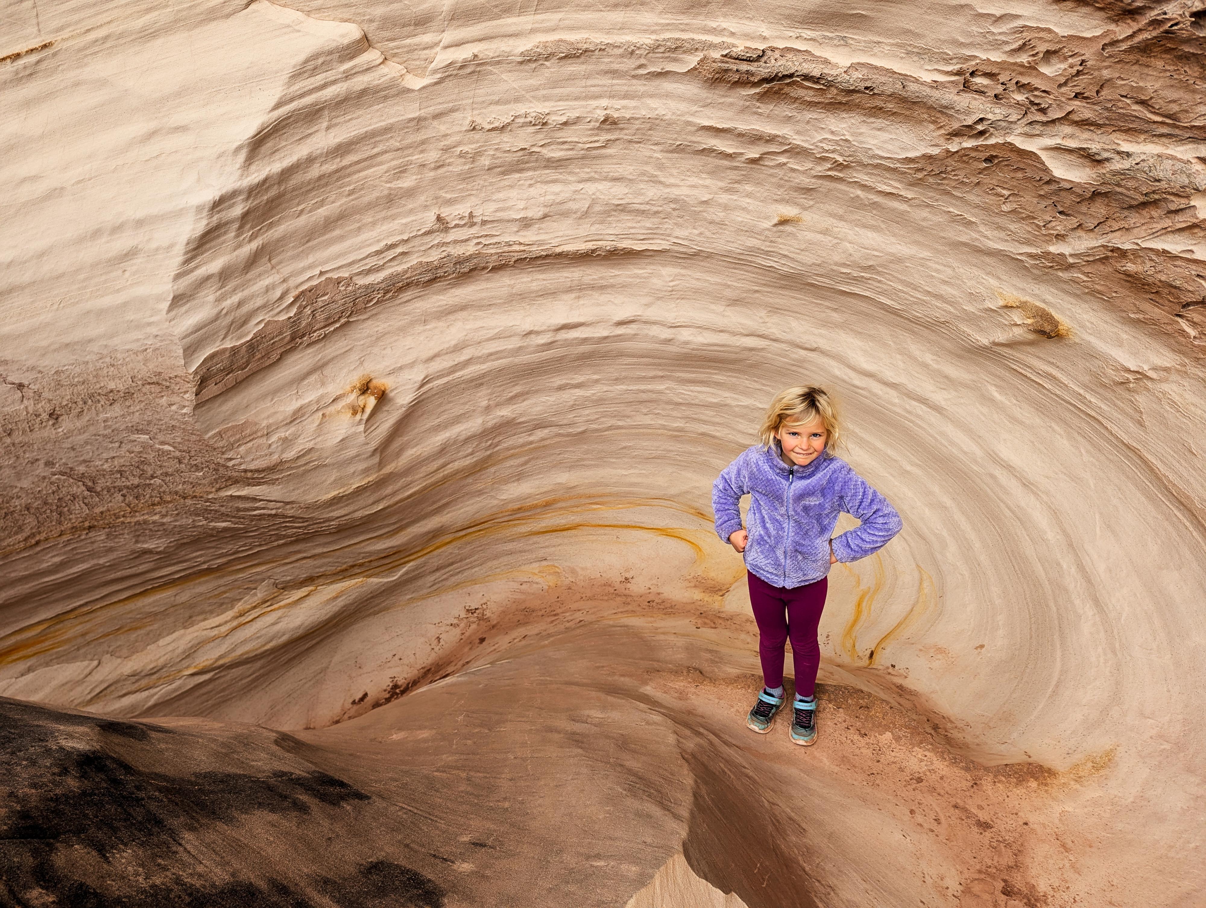
The Nautilus is one of the strangest features I have seen. In Page Sandstone, a small dome of sandstone has worn a smooth, curved path cutting down through the dome. I assume the erosion is caused by water, but currently the Nautilus is not in the stream flow of the canyon. Perhaps millennia ago it was, and then the stream course changed.
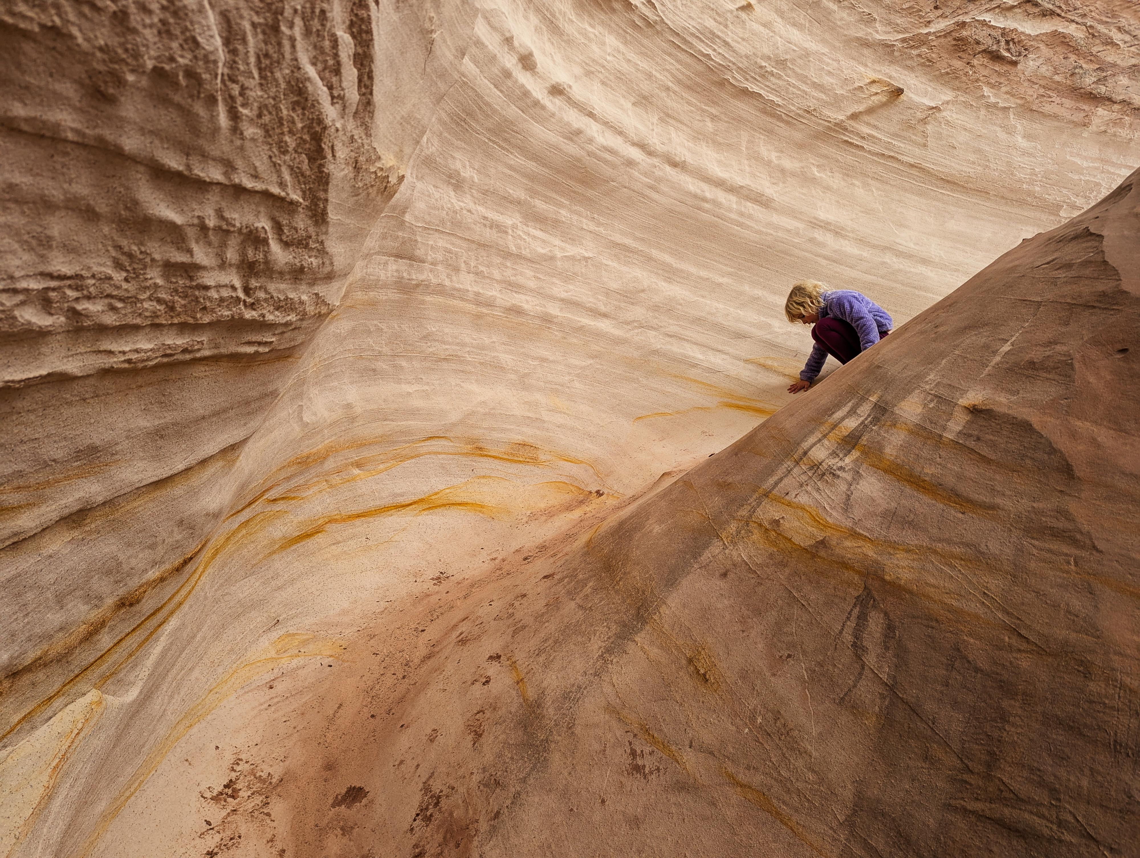
This is a fun little hike to a pretty unique and interesting feature. I probably wouldn't plan a special trip just for the Nautilus, but if you are in the area visiting something else like Buckskin, the Toadstools, etc. it is an excellent short hike. My 7-year-old enjoyed both the Nautilus and the hike in immensely. The climb up and down was just the right difficulty for her to be slightly challenged but have a ton of fun.
Getting There
Follow highway 89 east out of Kanab for about 44 miles to milepost 20.9, signed Paria Canyon. Once off the highway, reset your odometer, and stay left to head toward White House Campground. 1.55 miles from the highway, there is a parking spot on the right side of the road just before the road crosses a bridge over a wash. This is the trailhead.
Route
From the trailhead, cross the road and head east up the canyon the bridge is going over. There is a social trail on the bank of the left side of the wash that goes through a gate. On our visit, the wire gate was pretty tight and difficult to open, so most were dropping into the wash just before the gate and following the wash upstream. There was not a fence across the wash on our visit.
From the trailhead, follow the trail or wash directly upstream for about 0.4 miles to the Nautilus. It should be easy to spot, it is the sandstone hill on the right that is cleaved by a canyon.
What an odd feature! The curving and colorful Nautilus can be climbed up with a little effort. It is a colorful place for a break and to explore around both the Nautilus and the slickrock slopes around it.
Return the same way.
| Trailhead |
12S 420870E 4104891N 37°05'13"N 111°53'25"W |
| Nautilus |
12S 421275E 4105182N 37°05'23"N 111°53'09"W |


