 Hiking Sounds of Silence Trail
Dinosaur National Monument
Overview
|
Mon 67 | 37 |
Tue 70 | 34 |
Wed 74 | 41 |
Thu 72 | 43 |
Fri 76 | 45 |
| View Full Weather Details | ||||
|
Mon 67 | 37 |
Tue 70 | 34 |
Wed 74 | 41 |
Thu 72 | 43 |
Fri 76 | 45 |
| View Full Weather Details | ||||
The Sounds of Silence trail is, so far, my favorite trail in Dinosaur National Monument. The trailhead is just a short distance from the visitor center, but once on the trail, you feel a world away and fully immersed in the geology and views of the monument. Try as I might, I could not convince my 7-year-old that Sounds of Silence meant you weren't allowed to talk on the trail. I am sure there is excellent silence to be had as well, depending on your hiking partner(s)!
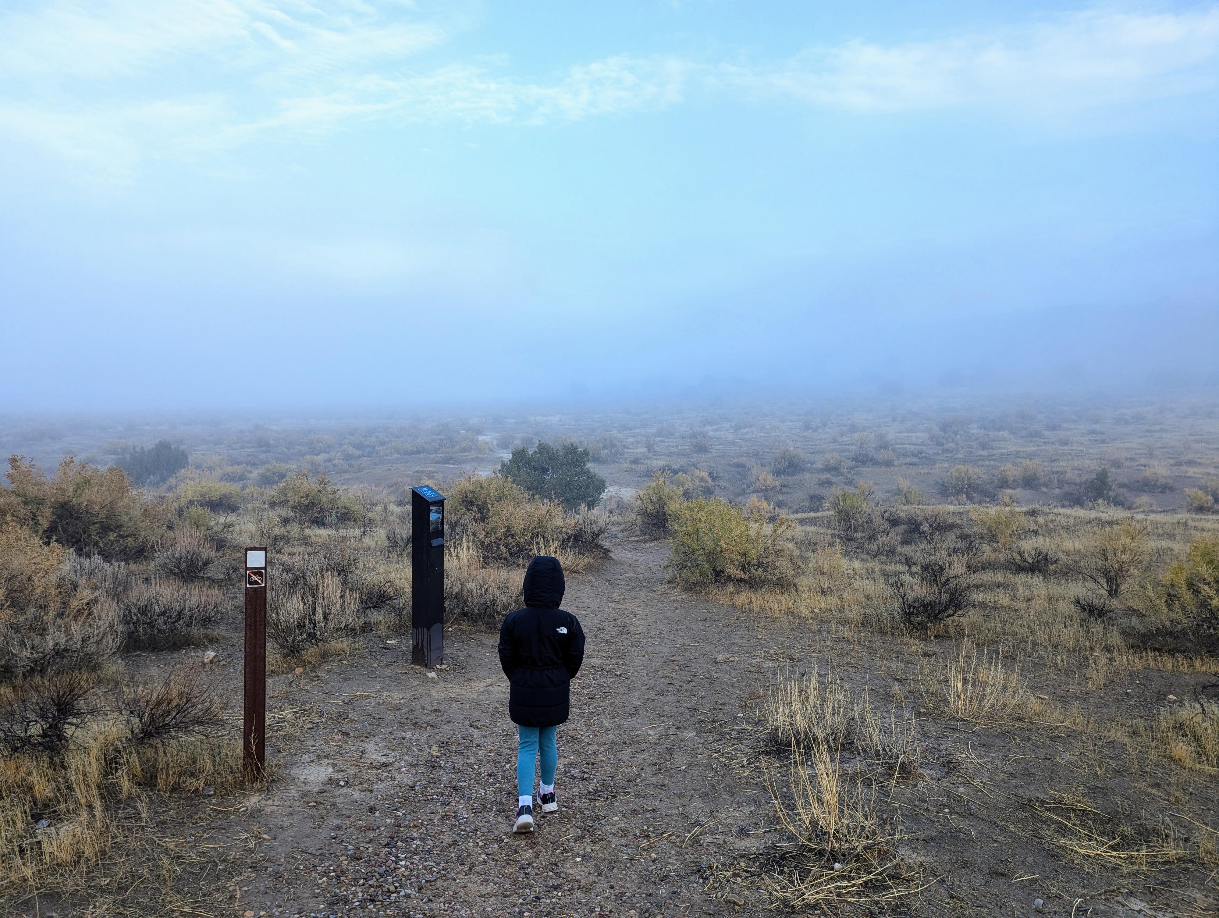
The trail, a little over 3 miles, has a few steep and rocky sections. The monument rates it moderately difficult. I would say it is suitable for most, as long as you are comfortable with a few steep sections. My 7 year-old had no problems and the distance, difficulty, and scenery were perfect for her. This is one you want to be certain you hike on a cool day. It would not be fun on a hot day in the summer. That being said, it would be a splendid early morning hike in the summer, as long as you were back before the hottest part of the day. We hiked it on a foggy fall day. The fog made it quite dramatic.
FYI: In 2024, there was a trail guide available at the trailhead for a small donation. I love the idea, but on our visit, most of the numbered signs were missing.
Getting There
From Vernal, head south on U.S. Hwy 40 E. Follow US-40 for about 12 miles to UT-149. Turn left onto UT-149, signed for Dinosaur National Monument and follow it for about 6 miles to the visitor center which is inside the park.
From the visitor center, continue into the park for 1.8 miles to where the trailhead is signed and there is parking on the shoulder of the road.
Route
From the trailhead, follow the trail north as it heads toward the cliffs. The trail has been re-routed in spots to stay in the wash bottom to minimize impacts. Stay on the main trail to avoid social trails.
About 0.25 miles (5 minutes) from the trailhead is a signed junction where a side wash coalesces with the main wash you are walking in. This is the loop junction. You can do the loop in either direction, though it seems most do it clockwise, so that is what is described.
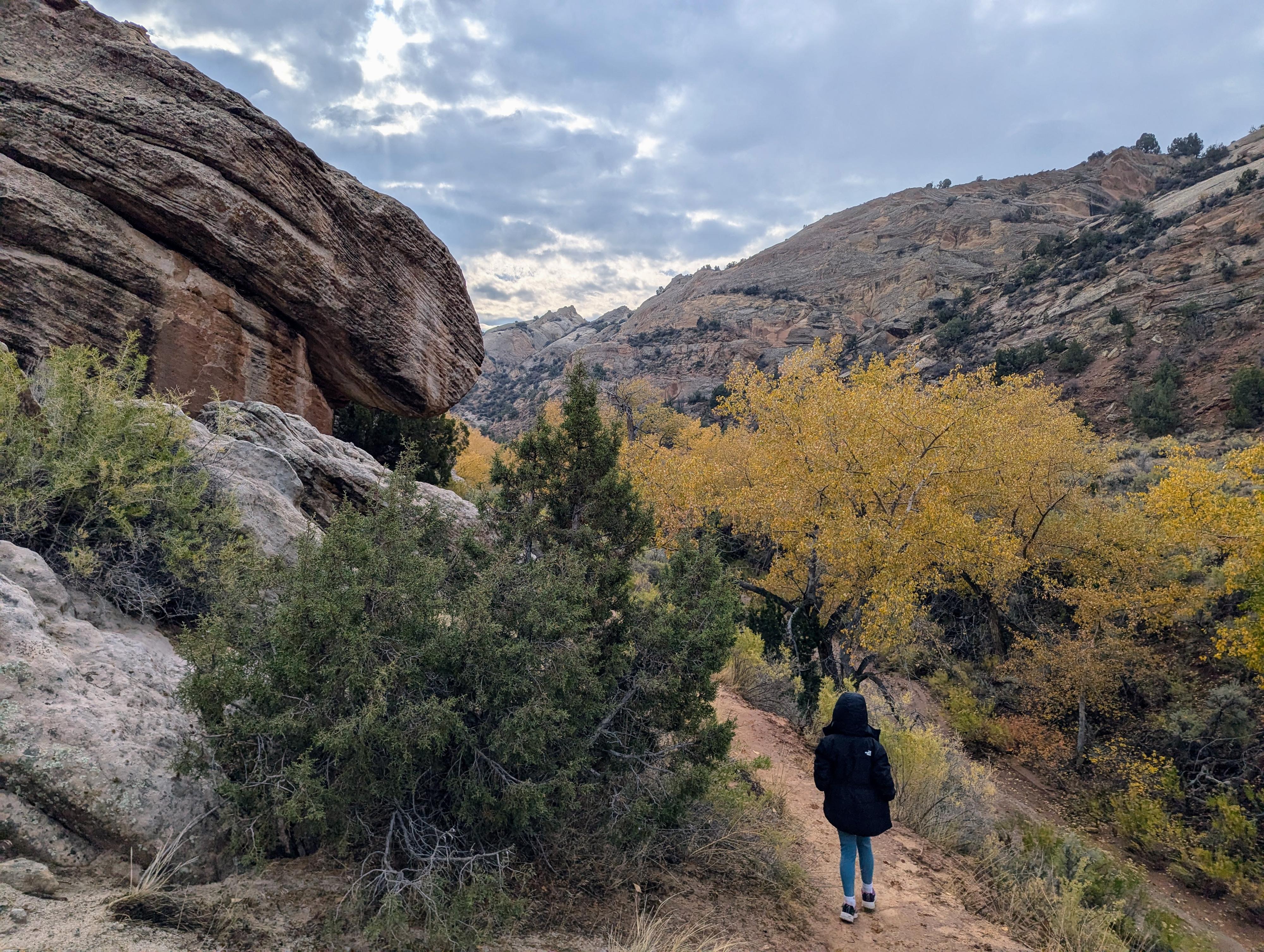
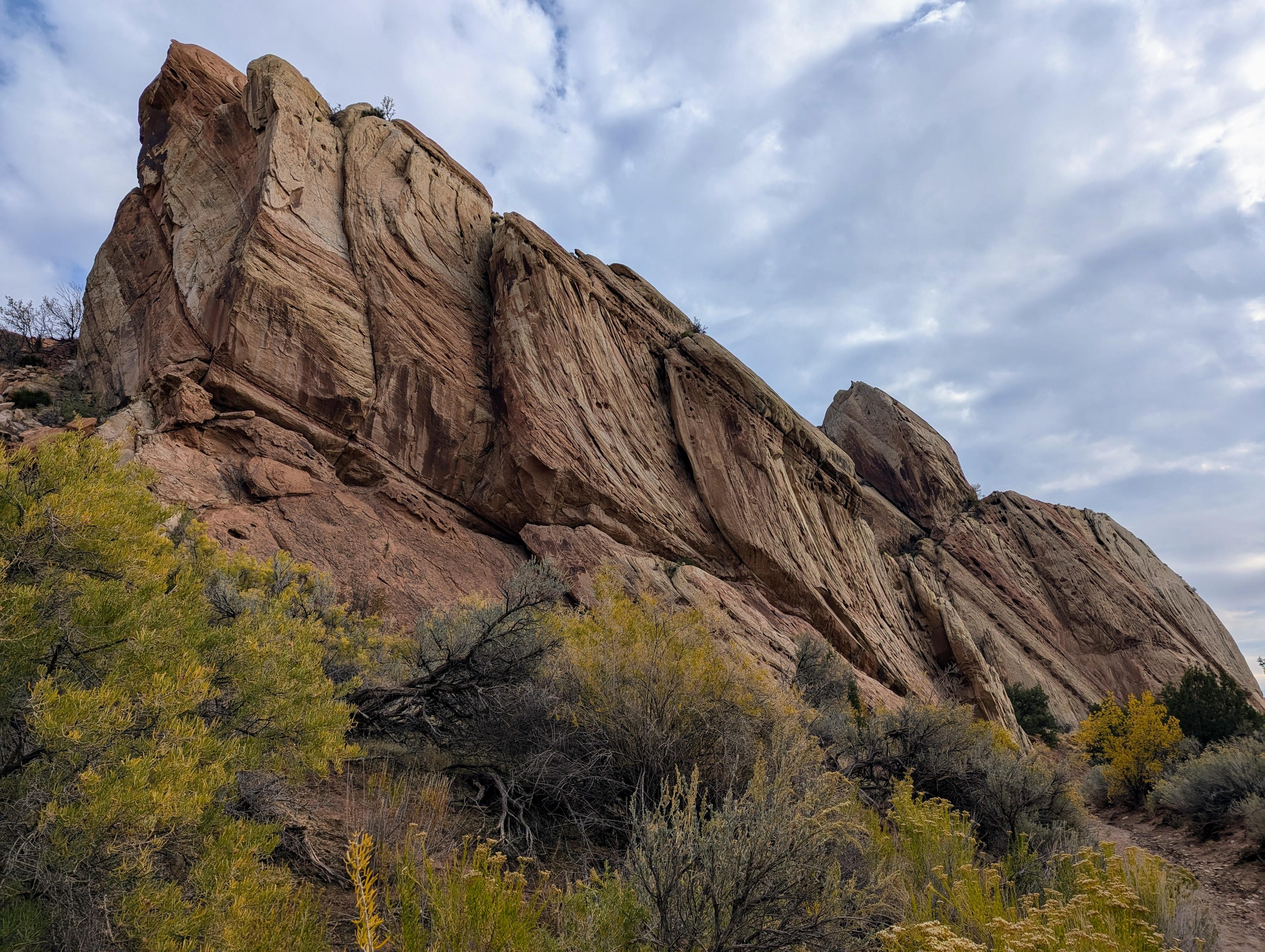
Go left at this junction to do the loop clockwise. The trail, in the wash bottom, enters stunning cliffs and domes. Mostly the trail stays in the wash bottom, but does divert up on the bank on the right for a short section during this part.
About 1.1 miles from the loop junction, the trail leaves the main wash up a steep side wash on the right. The trail takes a sinuous route up the wash and up to the bench above. My daughter thought this was a particularly fun section.
The trail ambles along the bench with some ups and down along the way. Eventually, the trail climbs steeply to its high point on the sandstone ridge. This is a great break spot, with an overlook toward Split Mountain.
From the overlook, the trail works down a short distance to the Desert Voices Trail junction. Stay right here to stay on the Sounds of Silence Trail.
The trail continues descending, crosses a drainage, then begins climbing again. This next section over slick rock is stunning, and the crux of the route. Keep an eye out to stay on the trail. Nothing is particularly hard, but you do want to make sure you stay on the trail. The trail climbs a bit, then begins a final steep descent down to the flatlands and loop junction in just a few minutes.
From the loop junction, follow your tracks south back to the trailhead.
| 1.8 Miles - The Sound of Silence Trailhead |
12T 646217mE 4477701mN N40° 26' 14" W109° 16' 34" |
| Loop Junction |
12T 646031mE 4477999mN N40° 26' 23" W109° 16' 41" |
| Leave Main Wash |
12T 645020mE 4479051mN N40° 26' 58" W109° 17' 23" |
| Overlook |
12T 646277mE 4478527mN N40° 26' 40" W109° 16' 31" |
| Desert Voices Jct |
12T 646319mE 4478460mN N40° 26' 38" W109° 16' 29" |


