 Hiking
Lower Iron Wash and Ernie Canyon
Hiking
Lower Iron Wash and Ernie Canyon
Eastern Reef
Overview
I've camped on the rim of Iron Wash many times over the years, and always wondered what the section of the canyon below Lost Spring was like. At Lost Spring, it begins cutting into the sandstone and looks potentially very interesting. It turns out to be charming, but not exceptional.
What does make an exceptional day in lower Iron Wash? Making a loop hike out of it and return up lower Ernie Canyon. Though also not exceptional as far as canyons go, lower Ernie Canyon does have a pretty good petroglyph panel that is well worth visiting.
Getting There
At mile marker 141.6 on highway 24, take the side road on the west side of the highway through the gate. This is about 26 miles north of Hanksville, or 18 miles south of I-70 if coming from Green River.
Route Description
Rock art and historic sites are fragile, non-renewable cultural resources that, once damaged, can never be replaced. To ensure they are protected, please:
- Avoid Touching the Petroglyphs: Look and observe, BUT DO NOT TOUCH!
- Stay on the Trails: Stay on the most used trails when visiting sites, and don't create new trails or trample vegetation.
- Photography and Sketching is Allowed: Do not introduce any foreign substance to enhance the carved and pecked images for photographic or drawing purposes. Altering, defacing, or damaging the petroglyphs is against the law -- even if the damage is unintentional.
- Pets: Keep pets on a leash and clean up after them.
- Artifacts: If you happen to come across sherds (broken pottery) or lithics (flakes of stone tools), leave them where you see them. Once they are moved or removed, a piece of the past is forever lost.
Down Iron Wash (4.5 miles / 1.5 hours)
From the trailhead make your way to the bottom of Iron Wash and head down the canyon. A dryfall appears almost immediately. Follow the right rim 1-2 minutes to an easy, slab scramble to the canyon floor. There is also a scramble route in on the left rim.
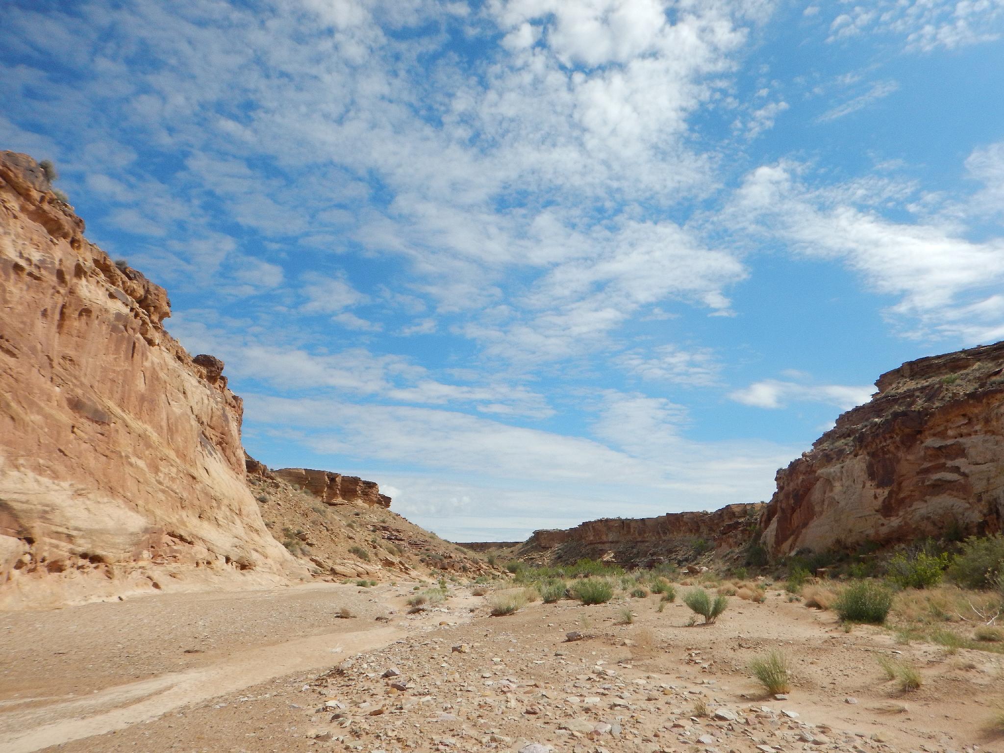
From the bottom of the dryfall, Iron Wash is easy walking as the canyon never gets particularly deep or impressive, but is still a fun amble. I had expected to find pictographs or petroglyphs in this section but my eye didn't uncover any. Keep an eye out.
When the canyon bottom turns from sandy and open to being tree filled and spring fed, you are nearing the end of Iron Wash to where it opens broadly onto the desert. When it opens, follow the fence line west 10 or so minutes to the next canyon, Ernie Canyon.
Up Ernie (3.25 miles / 1.5 hours)
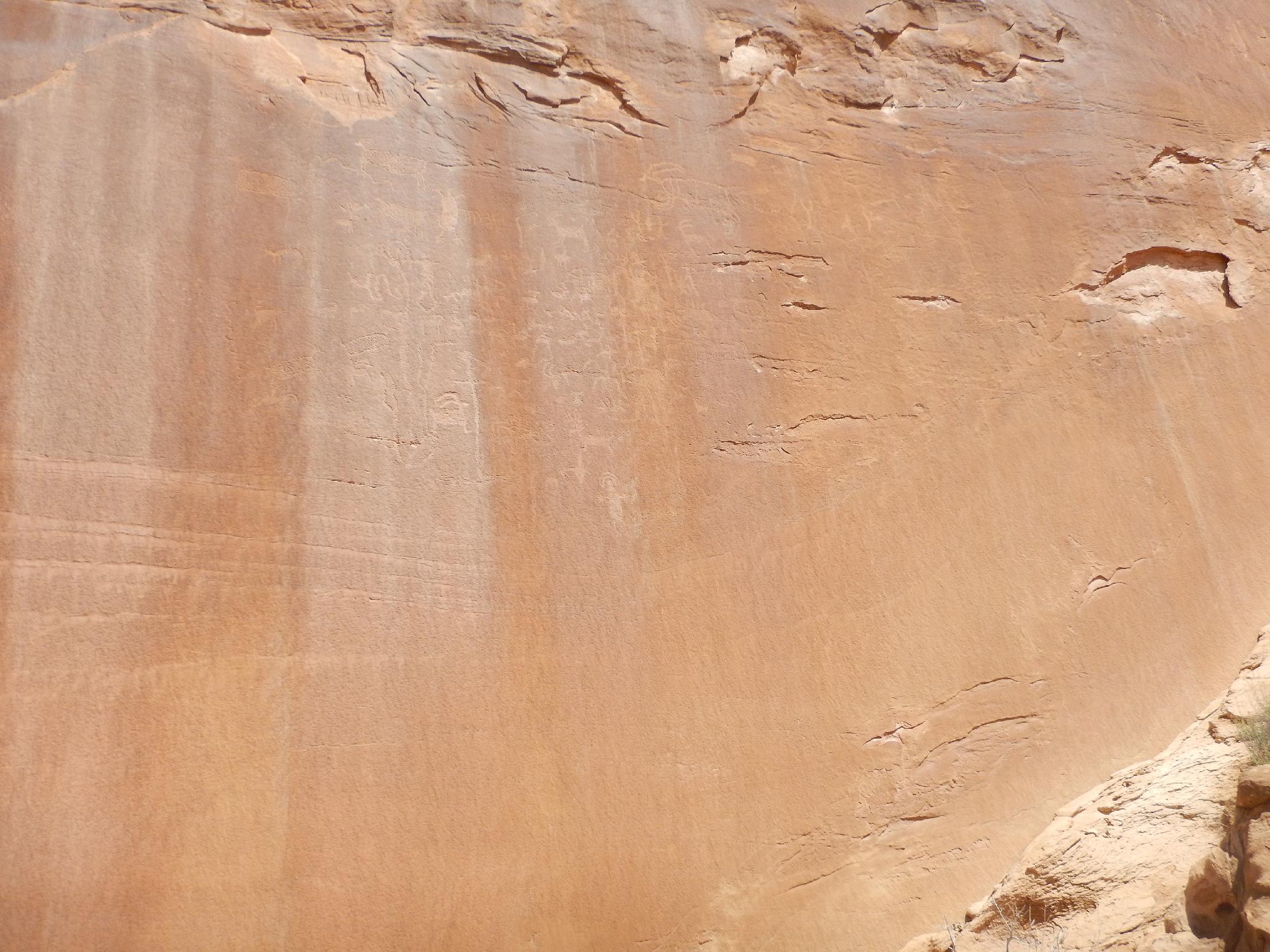
Heading up Ernie is easy going. Keep an eye out on the right for the first red vertical cliff on the right. This stunning cliff is home to several large petroglyph panels.
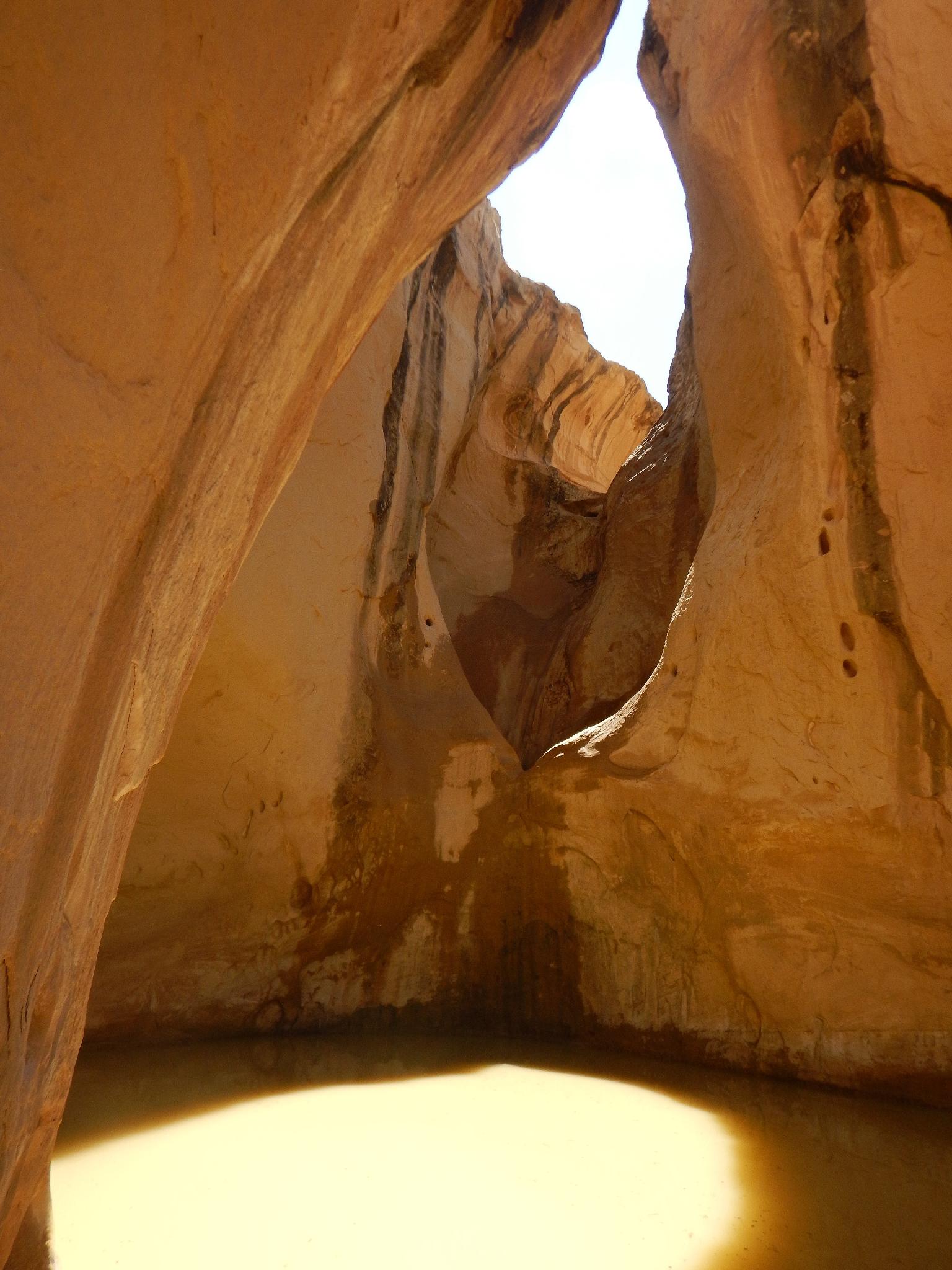
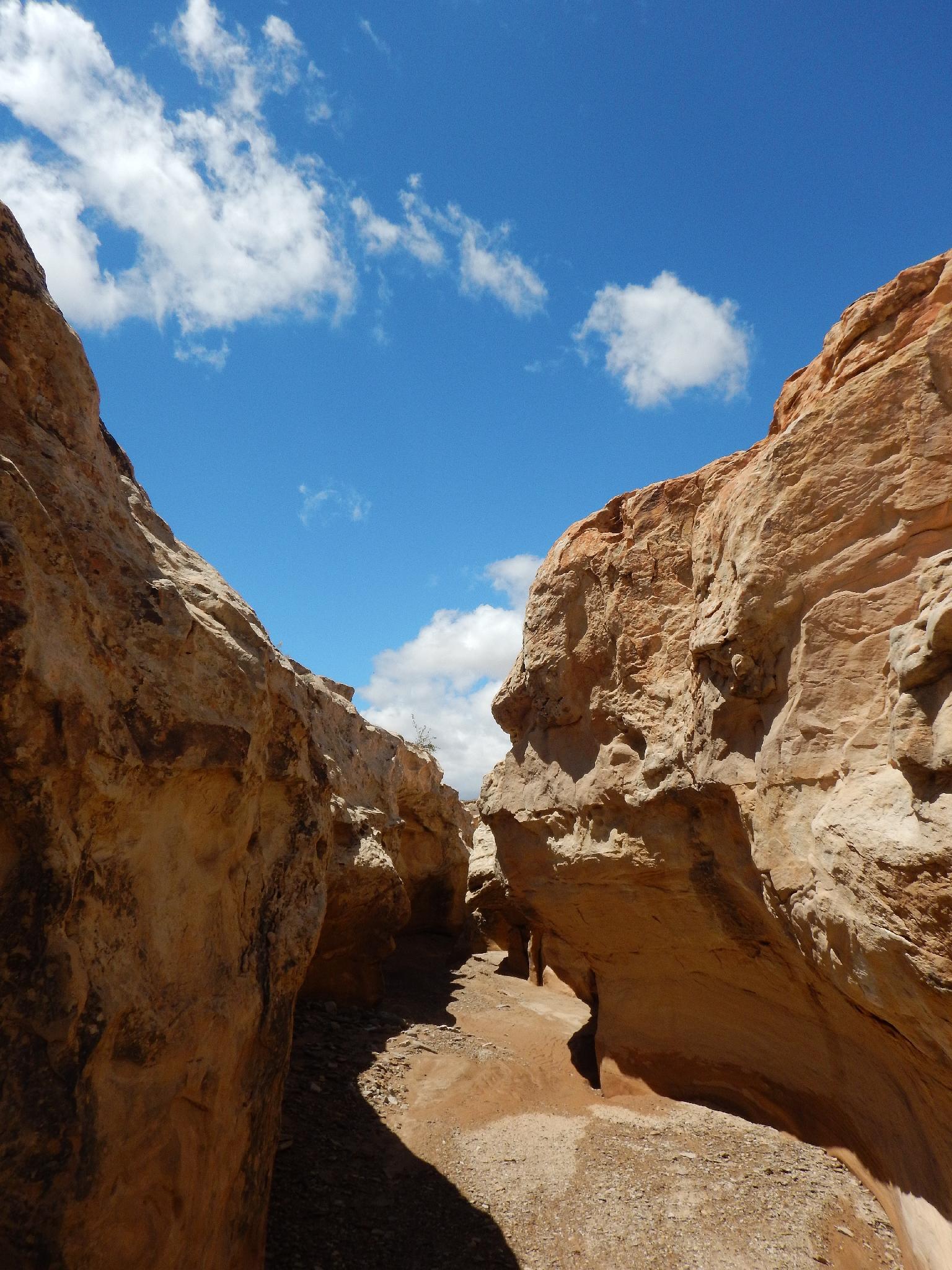
Above the panels, easy hiking leads to a dryfall in about 20-30 minutes. From the dryfall, backtrack a minute to an obvious bypass on the right (looking down canyon). This slabby exit is possibly class 4-, and fairly straightforward. If it looks too difficult, continue down canyon a few more minute to an even easier exit on the left.
Once above the dryfall, the canyon passes through a short narrows section before becoming open and less interesting. Continuing along, the wash eventually is crossed by a road. Follow this road as it crosses the wash and continues to a major junction. Right goes to the Ernie Canyon trailhead where it cuts through the reef. Go left.
Back Along The Road ( 2.1 miles / 1 hour )
45 minutes or so of road walking reaches a junction at Lost Spring. Cross Iron Wash here and your back at the trailhead.
Maps

12S 541913E 4284060N
38°42'15"N 110°31'05"W
12S 542136E 4284194N
38°42'19"N 110°30'55"W
12S 543418E 4287943N
38°44'21"N 110°30'01"W
12S 544012E 4288297N
38°44'32"N 110°29'37"W
12S 543742E 4288817N
38°44'49"N 110°29'48"W
12S 543245E 4288698N
38°44'45"N 110°30'08"W
12S 543206E 4288684N
38°44'45"N 110°30'10"W
12S 543192E 4288682N
38°44'45"N 110°30'11"W
12S 542710E 4288221N
38°44'30"N 110°30'31"W
12S 542757E 4288232N
38°44'30"N 110°30'29"W
12S 542815E 4288167N
38°44'28"N 110°30'26"W
12S 542567E 4288358N
38°44'34"N 110°30'37"W
12S 541006E 4286752N
38°43'43"N 110°31'42"W