 Hiking The Living Room
Salt Lake
Overview
|
Wed 70 | 50 |
Thu 52 | 44 |
Fri 48 | 35 |
Sat 54 | 35 |
Sun 61 | 39 |
| View Full Weather Details | ||||
|
Wed 70 | 50 |
Thu 52 | 44 |
Fri 48 | 35 |
Sat 54 | 35 |
Sun 61 | 39 |
| View Full Weather Details | ||||
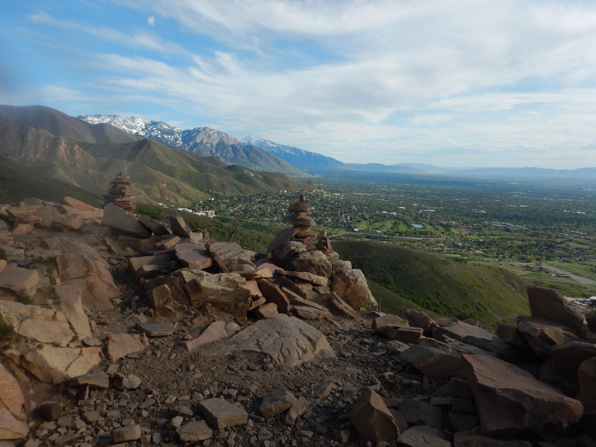
One of the more popular foothills hikes around Salt Lake City, the Living Room makes a great evening hike with excellent views of the city. Bring a picnic lunch and enjoy the sunset from the lofty viewpoint.
Due to its popularity, expect to see quite a few people, and down right crowds during the spring and fall weekends. At about 3 miles and 1300 feet of elevation gain, the hike has just enough meat on it to make you feel like you accomplished something but is still short enough to be done in an hour or two.
There are many social trails and routes to the Living Room. This description uses Georges Hollow, which seems to be the most used route and easiest to find / follow.
Getting There
The best starting place is just off of Wakara Way on Colorow Road. This is on the east side of Salt Lake City, near the Natural History Museum.
From Foothill Drive, go east on Wakara Way to Colorow Road. Park anywhere near the intersection of Colorow and Wakara.
Route
The first crux of the hike is reaching the Bonneville Shoreline trail. This has many access points, including from the Natural History Museum or Colorow Road, which parallels the foothills. If starting from Colorow Road (recommended), find one of the well-used social trails that lead up from the paved road to the wide dirt road that is the Bonneville Shoreline trail. Go right (south) on the Bonneville Shoreline, watching for pipeline marker 174.
At pipeline marker 174, you are due west of Georges Hollow. This is the canyon the trail ascends. Go past marker 174 to the next major junction, go left back to the base of Georges Hollow, then follow the wide trail up the hollow. The trail starts out quite wide, then narrows a bit. It is 1.5 miles from the trailhead to the Living Room. Just before the Living Room, as the trail contours in a gully, a side trail goes off on the right, stay left here on the obvious more used trail.
Return the same way, or if you are looking for a little more adventure, follow the ridgeline due west of the Living Room down. A social trail along the ridge offers relatively easy passage. Stay near the ridge until almost down, then cut left on any of several social trails that meander down to the approach trail.
| Trailhead |
12T 430446mE 4512680mN N40° 45' 44" W111° 49' 27" |
| Marker 174 |
12T 430919mE 4512476mN N40° 45' 37" W111° 49' 06" |
| Left |
12T 431621mE 4513203mN N40° 46' 01" W111° 48' 37" |
| Living Room |
12T 431491mE 4513173mN N40° 46' 00" W111° 48' 42" |


