 Hiking Candy Cliffs (Yant Flat)
Leeds
Overview
|
Sat 41 | 22 |
Sun 50 | 30 |
Mon 55 | 35 |
Tue 58 | 40 |
Wed 59 | 45 |
| View Full Weather Details | ||||
|
Sat 41 | 22 |
Sun 50 | 30 |
Mon 55 | 35 |
Tue 58 | 40 |
Wed 59 | 45 |
| View Full Weather Details | ||||
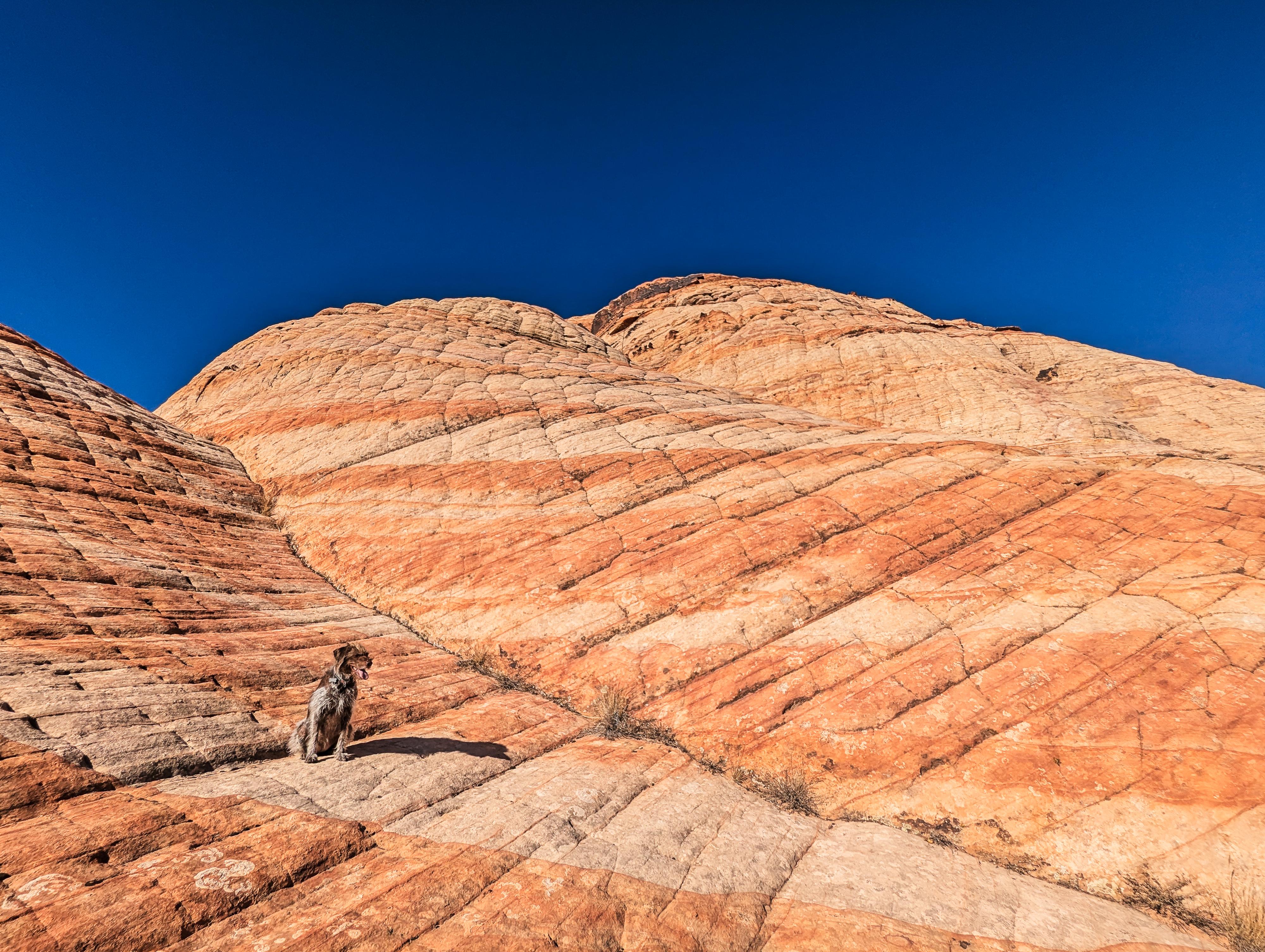
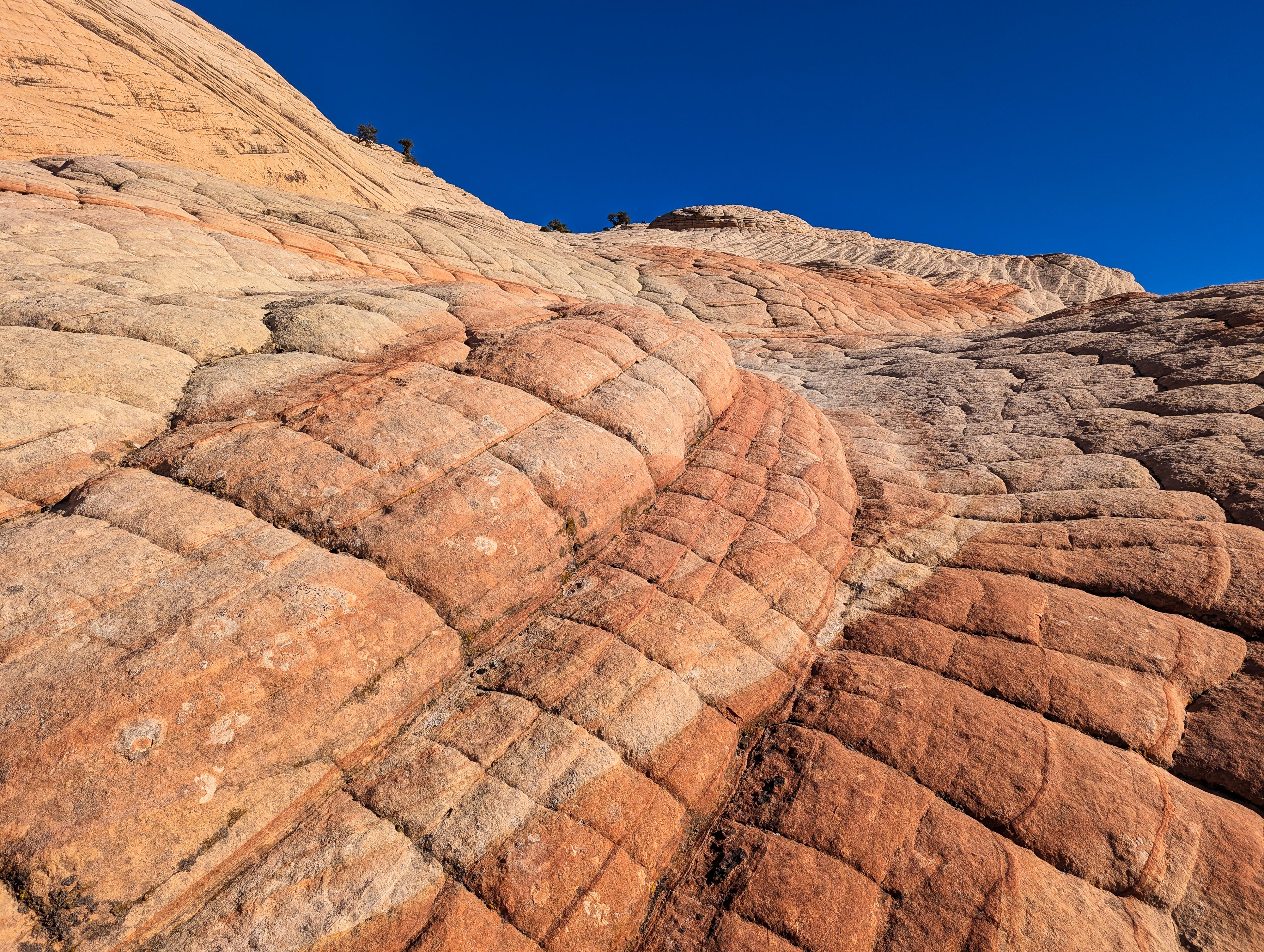
The Candy Cliff / Yant Flat is a somewhat hidden gem for outdoor hikers and photographers, offering a less crowded alternative to Utah's more famous destinations like Zion National Park and Bryce Canyon. It is a magical place with swirling colors, textures, and views. Many compare it to the highly coveted Wave near Kanab, however currently Yant Flat doesn't require a permit! I haven't been to the Wave, so can't compare it, but would say the Candy Cliffs are a stunning and fun place to visit. We had planned on just a short hike, but ended up spending several hours wandering around the colorful landscape. One of the more dramatic hikes I can think of in the area.
A few notes on visiting.
- It can be very hot in the summer. If visiting in the summer, go early and take plenty of water.
- It CAN be pleasant in the winter to visit if the roads are dry and passable. Some winters the road is muddy, snowy, and impassable, some winters it isn't. We visited on December 31st, and had lovely warm, dry weather, but some years you wouldn't be able to reach the trailhead that time of year.
- The road to the trailhead is good, but a bit washboard. I, personally, would recommend medium clearance like a Subaru or better, but the very determined could get a sedan to the trailhead if cautiously driven in most conditions.
- The area has gained in popularity recently. If you want to avoid crowds, I recommend going during the week and early in the morning. We had the area mostly to ourselves until we started hiking out, and it was a magical place to have solitude.
- The trail to the first overlook is easy to follow. From the first overlook to the second is a mess of social trails. Bring a GPS and stay on the most used trail, though I think as long as you are keeping an eye on where you came from, getting lost is unlikely.
- For kids up to the distance, this is an excellent family hike. We saw many kids on our trip of all ages.
- Finally, the place is very inviting to scramble around in. Be sure you can go back down anything you go up, and vice versa.
Over millions of years, natural processes like wind, water, and temperature fluctuations sculpted the sandstone into the intricate patterns and wave-like shapes seen today. The vibrant colors, ranging from deep reds to oranges and yellows, are due to the presence of iron oxides and other mineral deposits.
Getting There
If traveling from the north on I-15, take exit 23 toward Leeds/Silver Reef. If traveling from the south, take exit 22, and follow main street 1.5 miles to Silver Reef Dr. Turn left onto Silver Reef Drive and go under the highway.
(Both routes) From the highway, follow Silver Reef Drive west for about a mile Silver Reef Drive becomes Oak Grove Rd. Continue on it.
- At about 1.6 miles, the road turns to dirt and enters National Forest after crossing a bridge. Reset your odometer here. Stay right, on the main road, just after the bridge and follow it as it ascends up the hill. ( 12S 289873E 4126329N / 37°15'35"N 113°22'10"W )
- At 1.5 miles, is a junction. Go left, resetting your odometer. ( 12S 288381E 4127646N / 37°16'17"N 113°23'12"W )
- At 3.0 miles, a side road goes off on the left. This is the trailhead to Boltergeist Canyon. ( 12S 284244E 4125482N / 37°15'03"N 113°25'58"W )
- The road tops out, offering big views of the area, then descends, passing through a ranch at 2.3 miles. ( 12S 285027E 4126267N / 37°15'29"N 113°25'27"W )
- Continue on the main road to 5.3 miles where there are several parking spots along the road. This is the trailhead for Yankee Doodle Canyon. Continue on the main road. ( 12S 282362E 4123988N / 37°14'13"N 113°27'12"W )
- 6.7 miles - There are several parking spots on both sides of the road, and Forest Service Road 903 takes off on the right. This is the Candy Cliffs/Yant Flat Trailhead. The trail for the Candy Cliffs/Yant Flat leaves on the left side of the road, directly across from Forest Service road 903. ( 12S 280259E 4123785N / 37°14'05"N 113°28'37"W )
Route
Approach To First Viewpoint (1.25 miles)
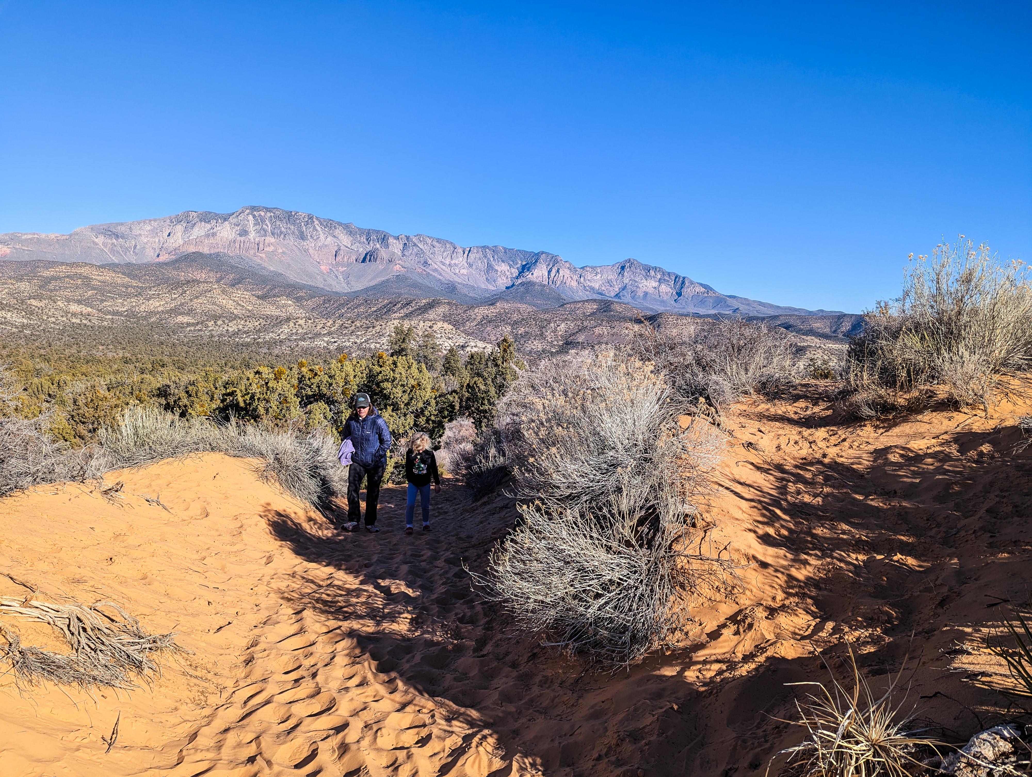
From the trailhead, head south on the trail that used to be an old jeep road, but is now closed to vehicles. There is some minor elevation change, but the road is easy to follow, and mostly easy walking. As you get near the Candy Cliffs, the trail becomes a sand walk as the scenery opens from more dense trees to more open brush. There are many side trails starting here, but stay on the main wide trail that comes to a slick rock viewpoint down on the colorful Candy Cliffs.
To The Second Area (0.6 miles from the viewpoint)
This is where navigation gets a bit trickier. Head back from the viewpoint 2-3 minutes until you find major side trails on the right (east) side. There are several side trails. The one marked on the map was the most used and easiest to follow on our trip.
Follow the social trails as they head southeast. There are many trails, and they braid and come together frequently. It is about 0.6 miles from the viewpoint to where the social trail reaches the second, larger Candy Cliffs area.
The second area is much easier to hike down into. Once in the area, there are many places to wander and take photographs. It is very picturesque! Be sure to pay attention to where you descended from the rim onto the slick rock so you can find the spot on your return.
Maps
| Candy Cliffs/Yant Flat TH |
12S 280259E 4123785N 37°14'05"N 113°28'37"W |
| View Point |
12S 280536E 4122136N 37°13'12"N 113°28'25"W |
| Second Area Junction |
12S 280610E 4122229N 37°13'15"N 113°28'22"W |
| Second Area |
12S 280947E 4121838N 37°13'02"N 113°28'08"W |


