 Roadside Attraction The Belly of the Dragon
Mount Carmel
Overview
|
Tue 74 | 35 |
Wed 75 | 38 |
Thu 75 | 39 |
Fri 73 | 40 |
Sat 71 | 37 |
| View Full Weather Details | ||||
|
Tue 74 | 35 |
Wed 75 | 38 |
Thu 75 | 39 |
Fri 73 | 40 |
Sat 71 | 37 |
| View Full Weather Details | ||||
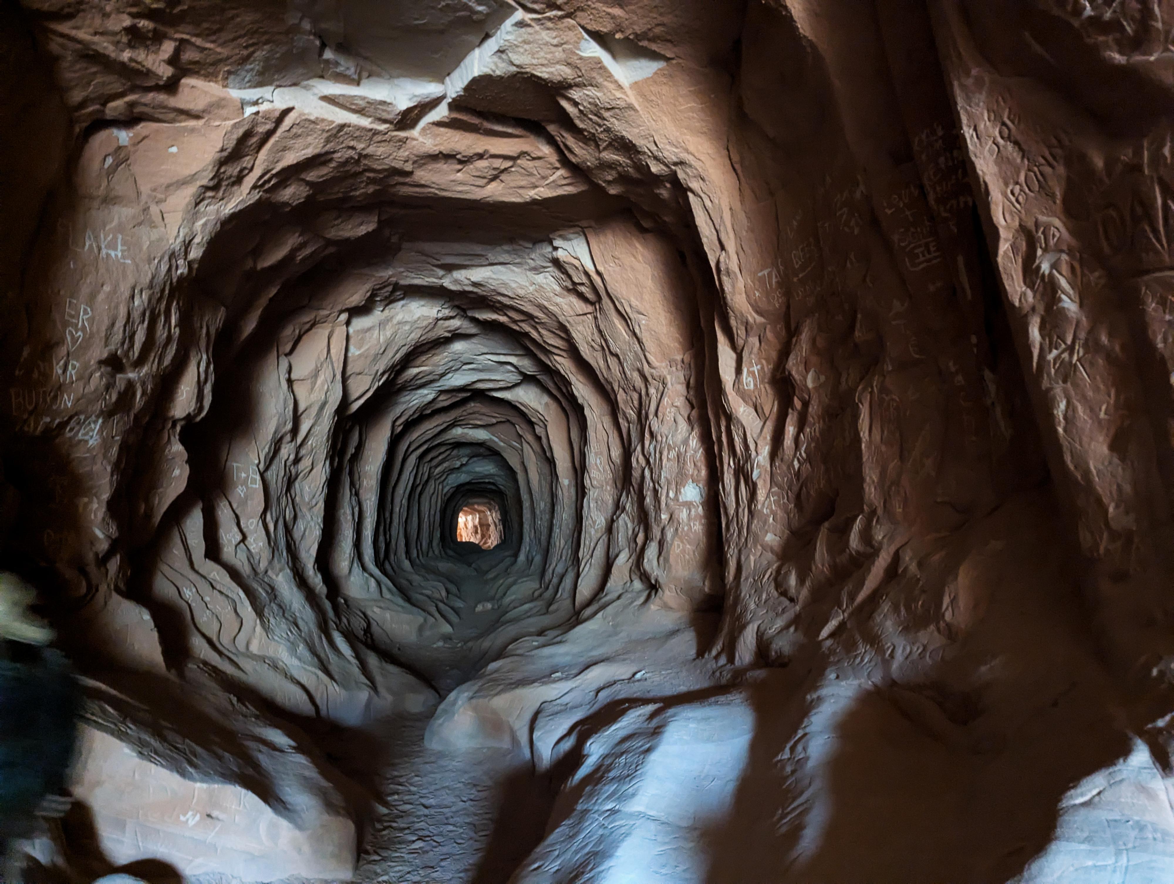
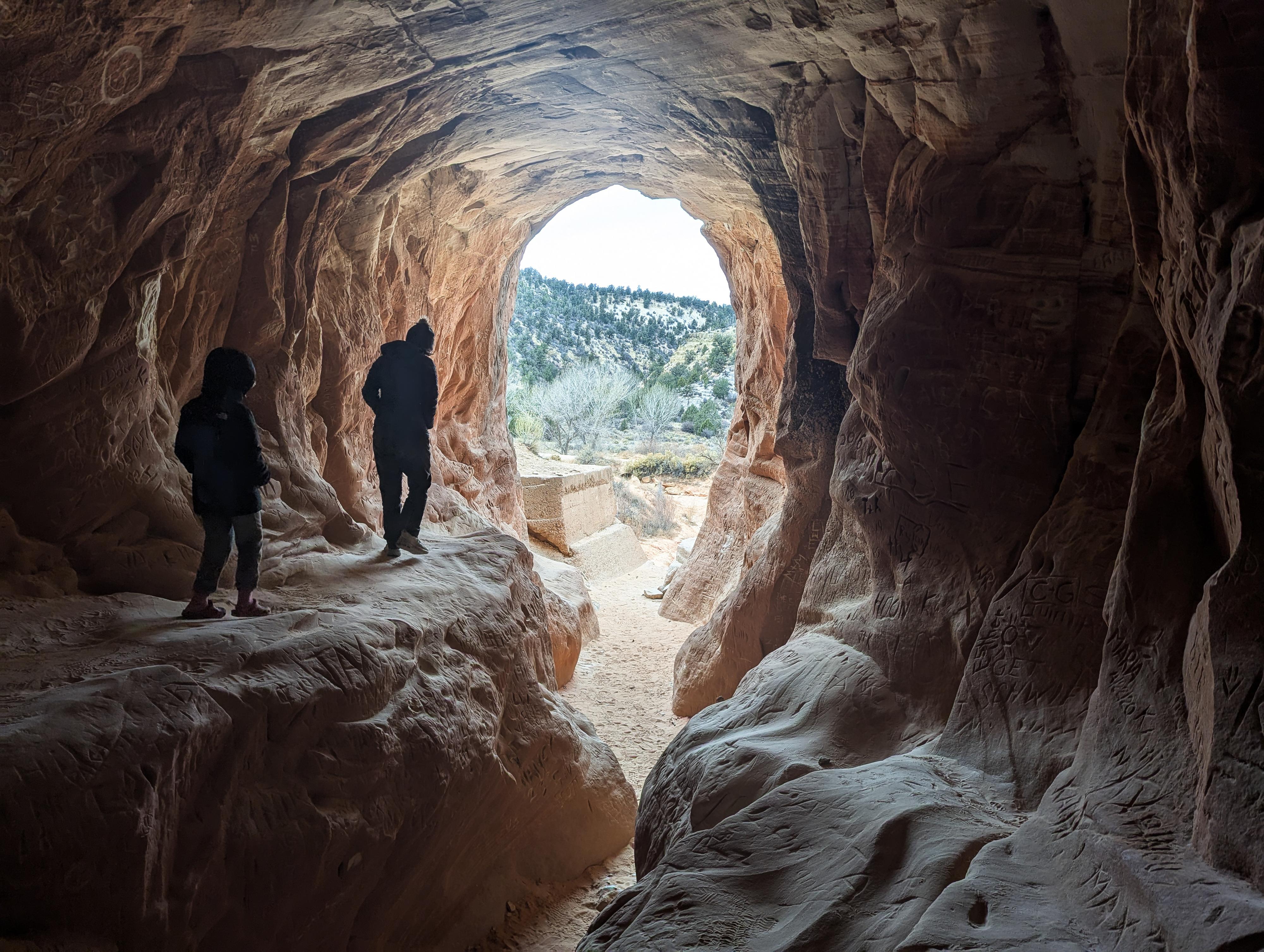
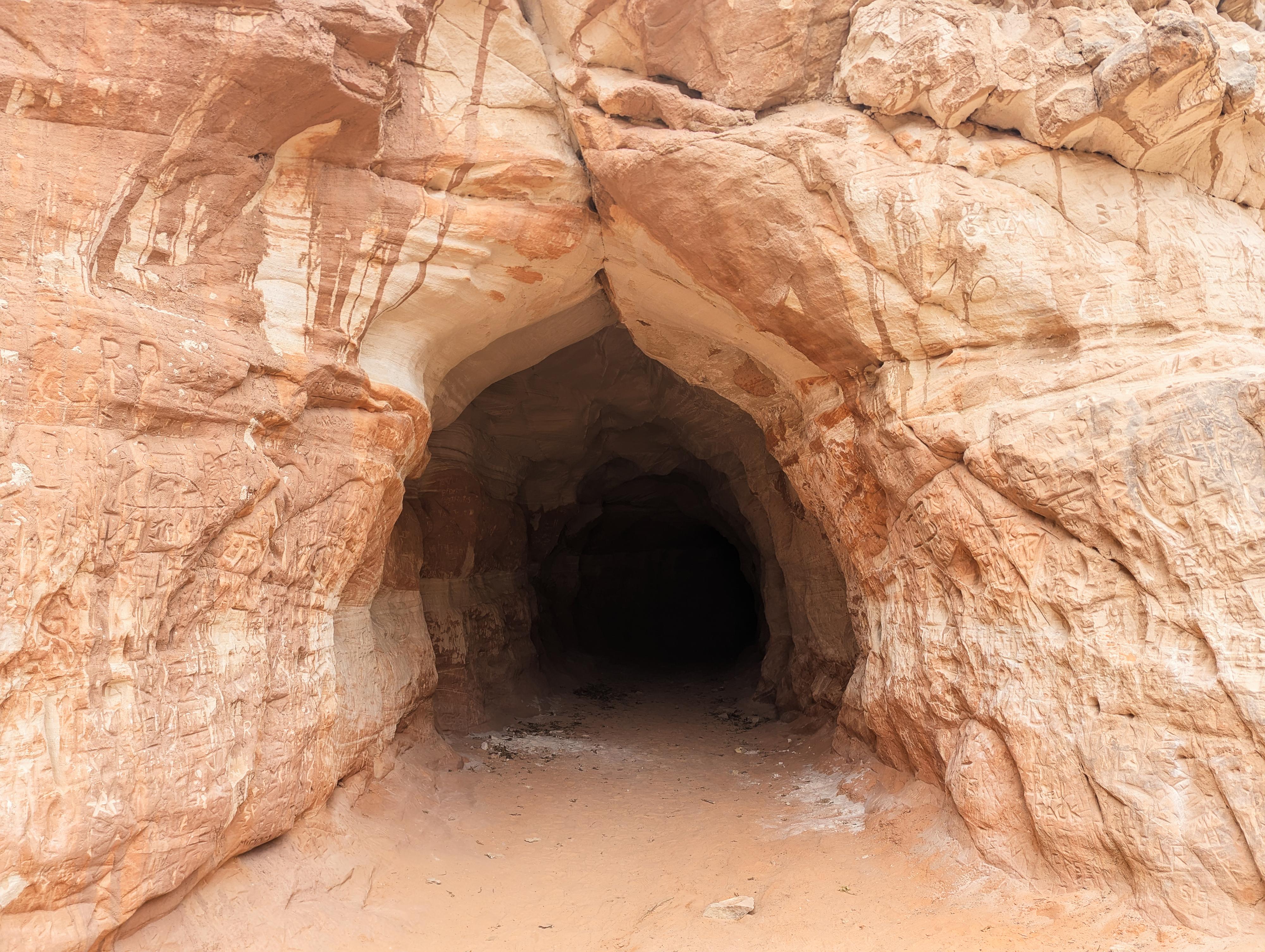
Belly of the Dragon has become quite famous recently from its exposure on the internet. I was very surprised at the number of people visiting when we stopped to check it out. When US-89 was built, west of Zion National Park near Mount Carmel Junction, a tunnel was drilled through the sandstone to allow for drainage under the road. The tunnel has quite a dramatic look, and people started visiting. Thus, the Belly of the Dragon was born!
This is a very short road side attraction. Our 7-year-old enjoyed it. I will admit that I am often a curmudgeon for these sorts of "Instagram attractions", but it was worth the short stop since we were driving by anyway. I wouldn't go very far out of my way to visit, but it is a nice, easy side trip if passing by.
Getting There
From Mount Carmel Junction, head south on US-89 for about 1 mile to a good, graded dirt road leaving on the right side of the road at about mile post 90. Follow the good dirt road about 1/3 of a mile to a large parking area on the left. This is the trailhead.
Route
From the trailhead, the trail goes a short distance to the tunnel. Some people bring flashlights to get through the tunnel, though most don't. It is dark in the middle, but reasonable to shuffle through carefully without a flashlight.
On the upstream side of the tunnel, the canyon opens into a canyon. A social trail continues up about another 0.5 miles, but most just turn around after the tunnel.
| Trailhead |
12S 350480mE 4119669mN N37° 12' 42" W112° 41' 06" |
| Belly of the Dragon |
12S 350507mE 4119624mN N37° 12' 40" W112° 41' 05" |
| Mile 80.9 |
12S 350571mE 4120144mN N37° 12' 57" W112° 41' 03" |


