 Hiking Copper Canyon
Paria
Overview
|
Wed 79 | 49 |
Thu 70 | 46 |
Fri 54 | 40 |
Sat 59 | 34 |
Sun 70 | 35 |
| View Full Weather Details | ||||
|
Wed 79 | 49 |
Thu 70 | 46 |
Fri 54 | 40 |
Sat 59 | 34 |
Sun 70 | 35 |
| View Full Weather Details | ||||
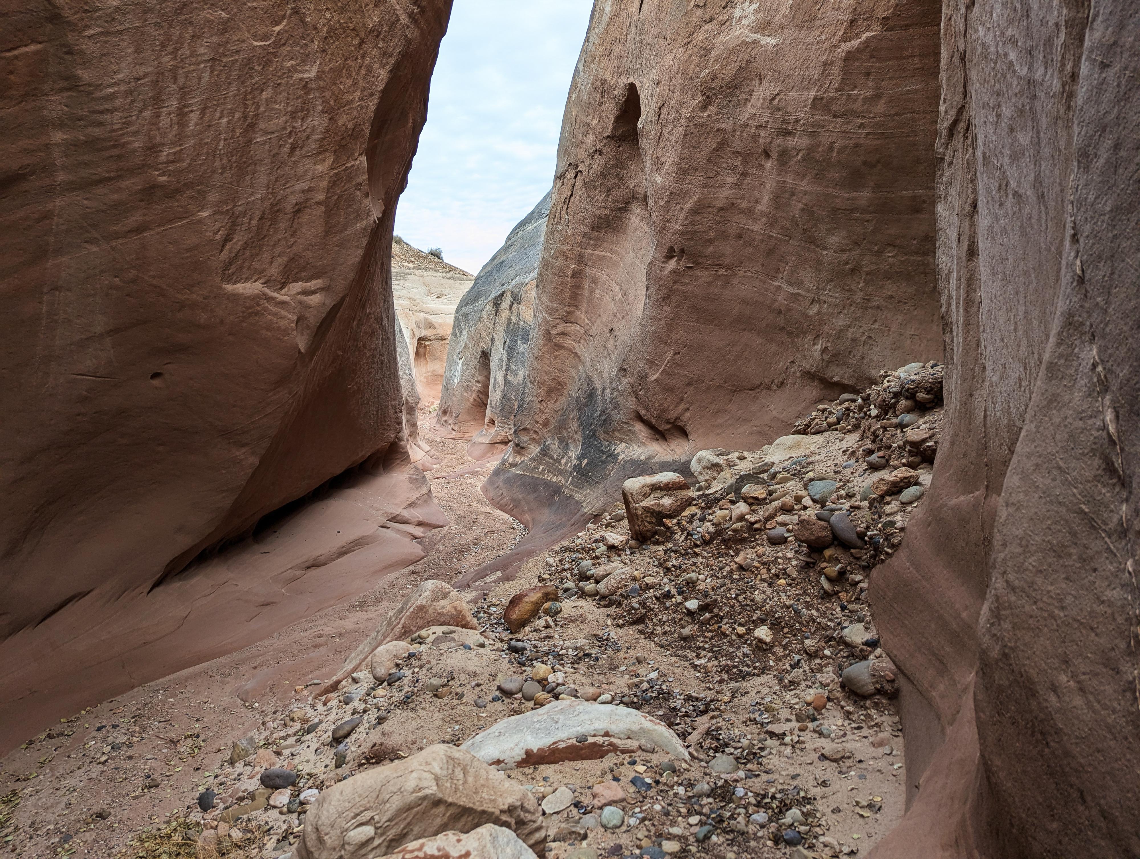
A narrow section in Copper Canyon
Though a short canyon, Copper Canyon has some nice narrows and interesting colors and rocks. The canyon ends at a dry fall, just below where the canyon appears to open up broadly above. This is not a hike I would go out of my way to visit, but if you are in the area to hike Buckskin, the Toadstools, the Nautilus, or Catstair Canyon, it is an easy and nice addition. It is also a nice evening hike if camping at the White House Campground, just down the road from the trailhead.
This short hike starts from the same trailhead as the The Nautilus. I would recommend doing both if in the area. Both are short and have different characters.
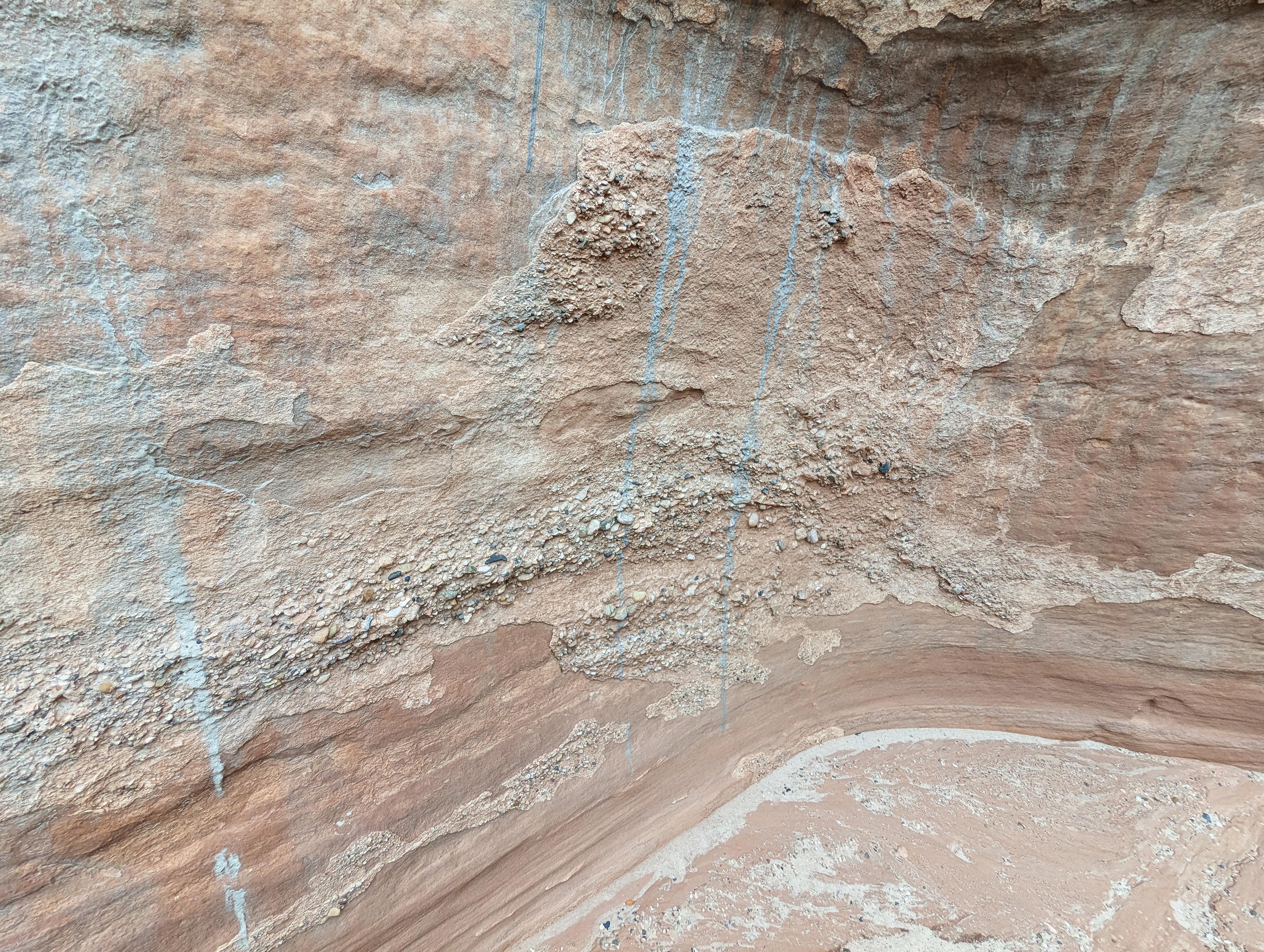
Copper streaks in the rock, I presume the canyons namesake.
Getting There
Follow highway 89 east out of Kanab for about 44 miles to milepost 20.9, signed Paria Canyon. Once off the highway, reset your odometer, and stay left to head toward White House Campground. 1.55 miles from the highway, there is a parking spot on the right side of the road just before the road crosses a bridge over a wash. This is the trailhead.
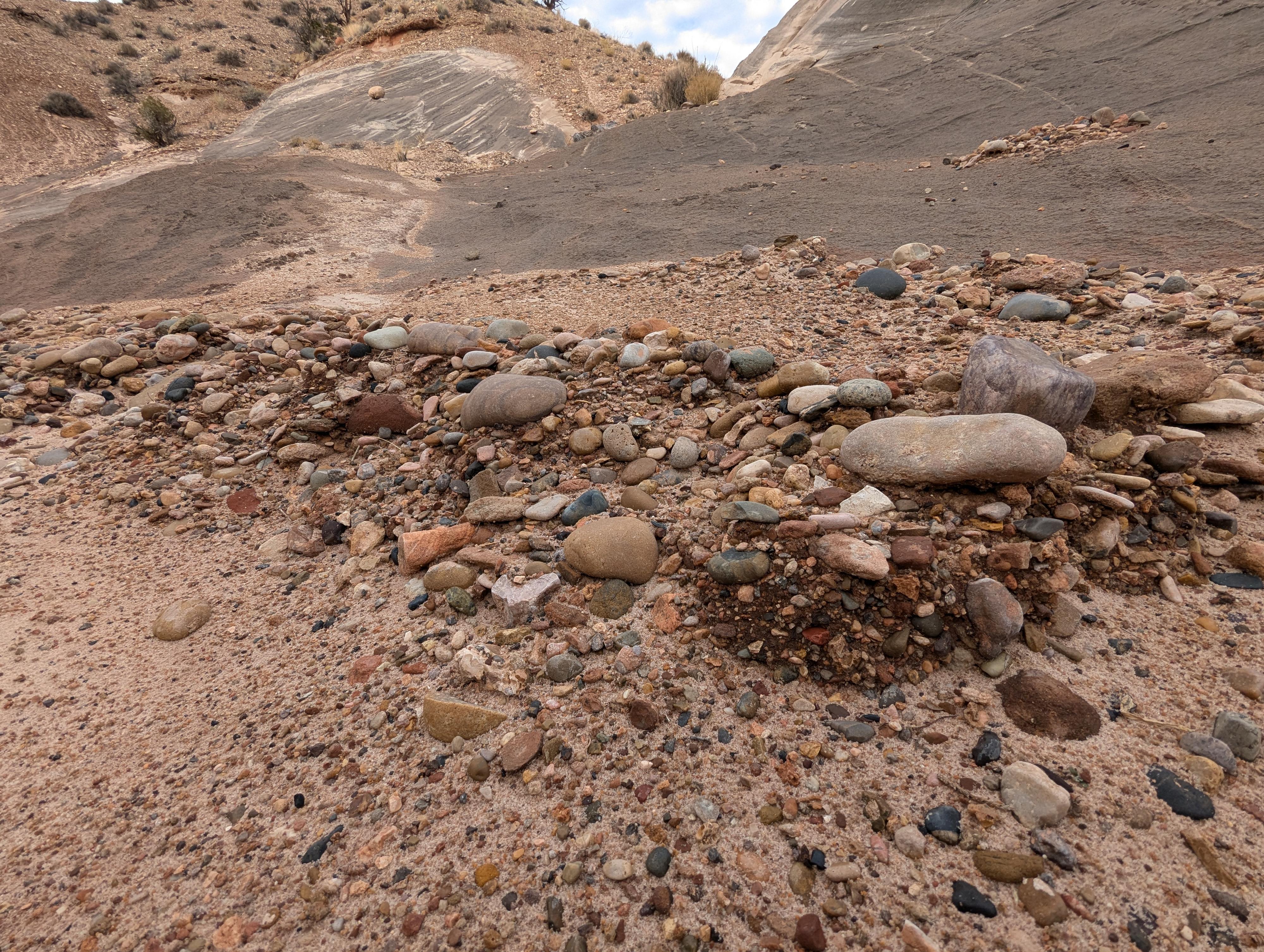
Cool rocks on the floor of Copper Canyon
Route
From the trailhead, hike down to the wash bottom, then head downstream in the bottom of the wash (south-west). In just a few minutes, you will reach the Paria River. Wade the river, then continue west on an emerging social trail toward the cliffs.
Copper Canyon is the first canyon downstream of the crossing. The walls quickly raise, but the first section isn't particularly narrows.
Continue up the meandering canyon with a mix of more open areas and somewhat narrower areas. Soon, a little less than a mile from the trailhead, the canyon narrows in earnest, darkens, and ends at a short dry fall with an overhanging boulder.
Return the same way.
Photos
Maps

| Trailhead |
12S 420869mE 4104894mN N37° 05' 13" W111° 53' 25" |
| Copper Canyon |
12S 420487mE 4104584mN N37° 05' 03" W111° 53' 41" |