 Hiking Peekaboo Canyon
Kanab
Overview
|
Fri 71 | 42 |
Sat 70 | 39 |
Sun 59 | 35 |
Mon 63 | 33 |
Tue 69 | 36 |
| View Full Weather Details | ||||
|
Fri 71 | 42 |
Sat 70 | 39 |
Sun 59 | 35 |
Mon 63 | 33 |
Tue 69 | 36 |
| View Full Weather Details | ||||
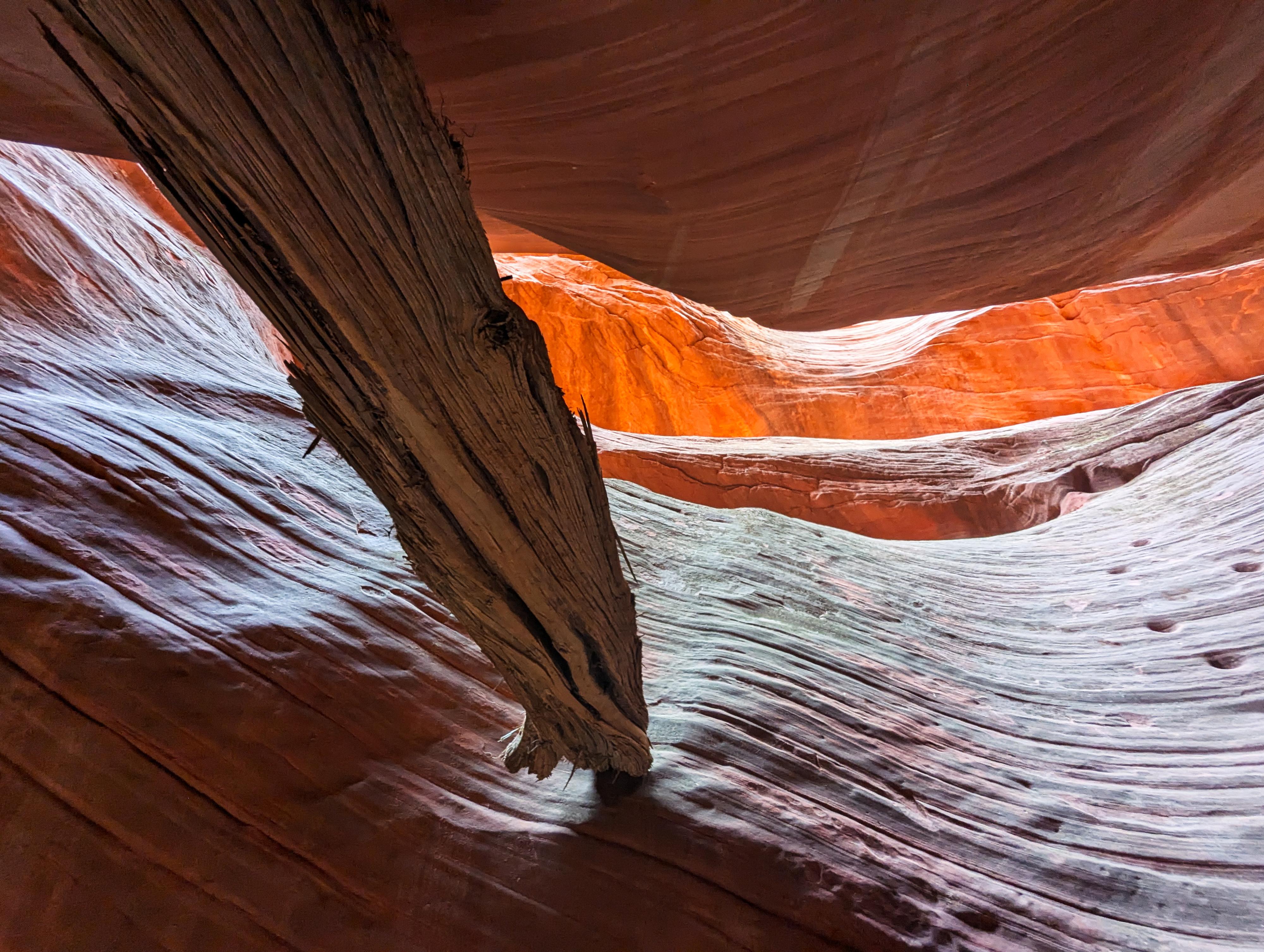
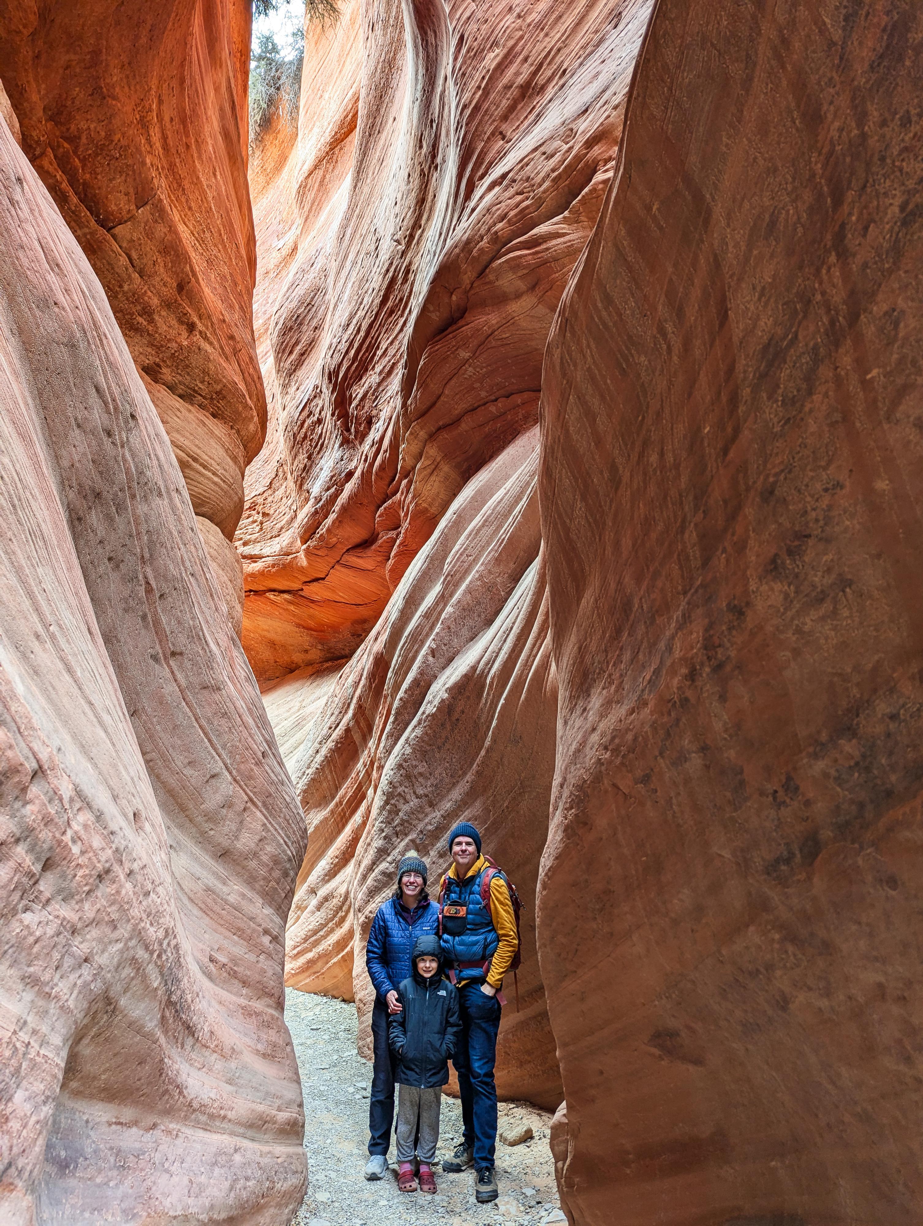
Probably the most scenic canyon near Kanab, Peekaboo Canyon (which is named Red Canyon on the USGS topo map) is a lovely, colorful narrow canyon not far north of Kanab. The canyon section is quite short, about 1/3 of a mile one way, but very deep and well sculpted.
There are two ways to get to the canyon, by foot or by vehicle.
By foot: The crux of the day is the approach and exit to the canyon! The approach is about 3.75 miles ONE WAY depending on the route you take, and deep sand. After visiting the short canyon, it is another 3.75 miles of DEEP UPHILL SAND HIKING. This is very strenuous hiking. Strong hikers only, and only when temperatures are reasonable.
By vehicle: The crux of the day is STILL the approach and exit. The road to the canyon is deep sand and downhill. YOU WILL NEED A TRUE HIGH CLEARANCE 4x4 TO ATTEMPT THIS ROUTE. All-wheel-drive or the like will not cut it. The difficulty of the road varies depending on the moisture content of the sand. We visited in November when the sand had a little moisture, and found the road a bit challenging. Enough so, we aired down. In the summer, when the sand is drier, it would be more difficult. Previous sand driving experience highly recommended! As mentioned, lowering tire pressure helps immensely in sand. We aired down to about 18 lbs, and re-inflated at the top with a portable compressor before getting back on the highway.
Getting There
To reach the trailhead, head north from Kanab on US-89. About 8 miles north of Kanab, near milepost 72.8, the signed Peekaboo parking area is on the right. It is a large parking area with a pit toilet.
Route
From the large parking area, follow the road that leaves the east corner of the parking area. This road is BLM 102. As you start on the road, you will notice numerous splits and side roads. Many of the side roads coalesce, but keep an eye on the map and look for trail markers. Follow BLM 102 for about 2.9 miles to where it reaches the bottom of the wash that is Red Canyon/Peekaboo Canyon.
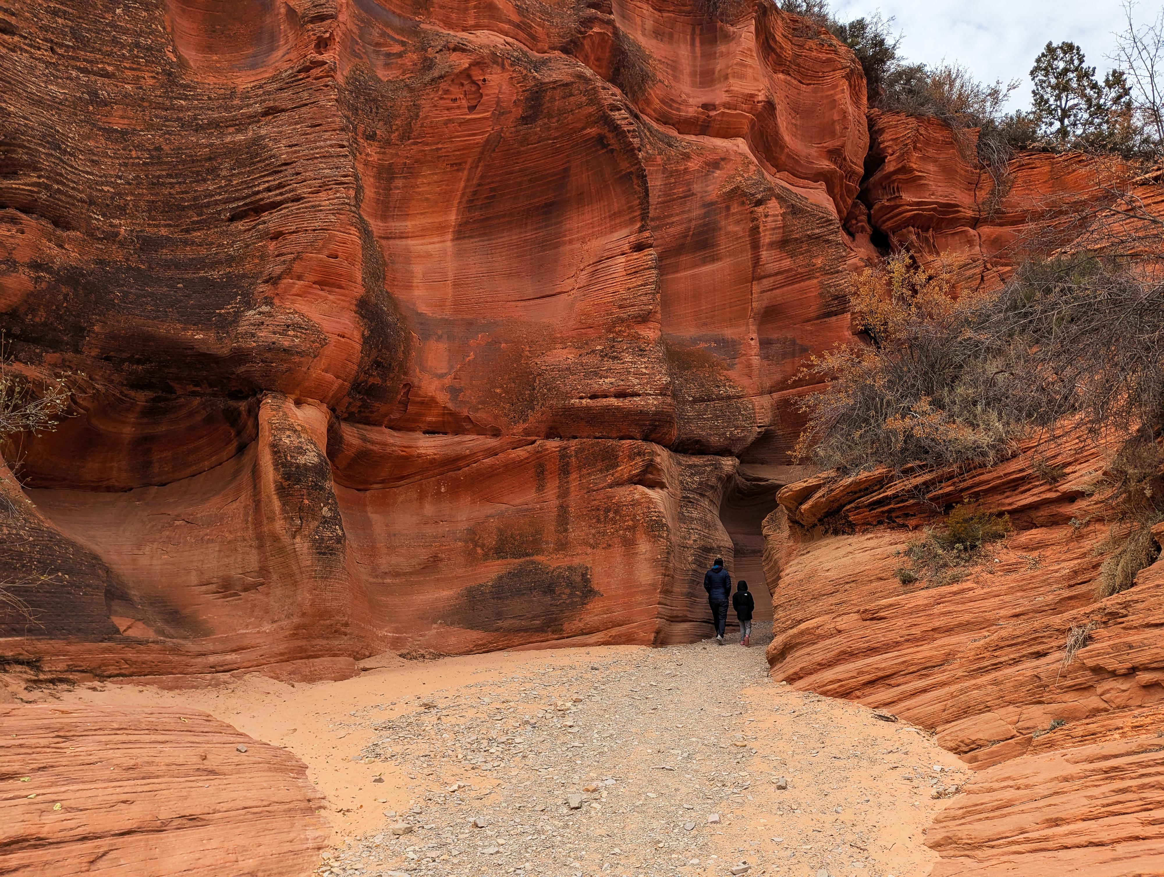
Once at the bottom of the wash, turn left and head upstream in the bottom of the wash. From where you reach the wash bottom, it is about 0.85 miles to where the road ends at the 4x4 trailhead and the canyon narrows.
From the 4x4 parking area, The canyon narrows almost immediately. The first section of narrows is fairly short-lived, and the canyon opens and is easy walking. On the right here is a social trail leaving up the steep sand hill. When returning, you can take this social trail to bypass the first set of narrows and see the canyon from above. The trail descends back to the 4x4 trailhead on the downstream side of these first narrows.
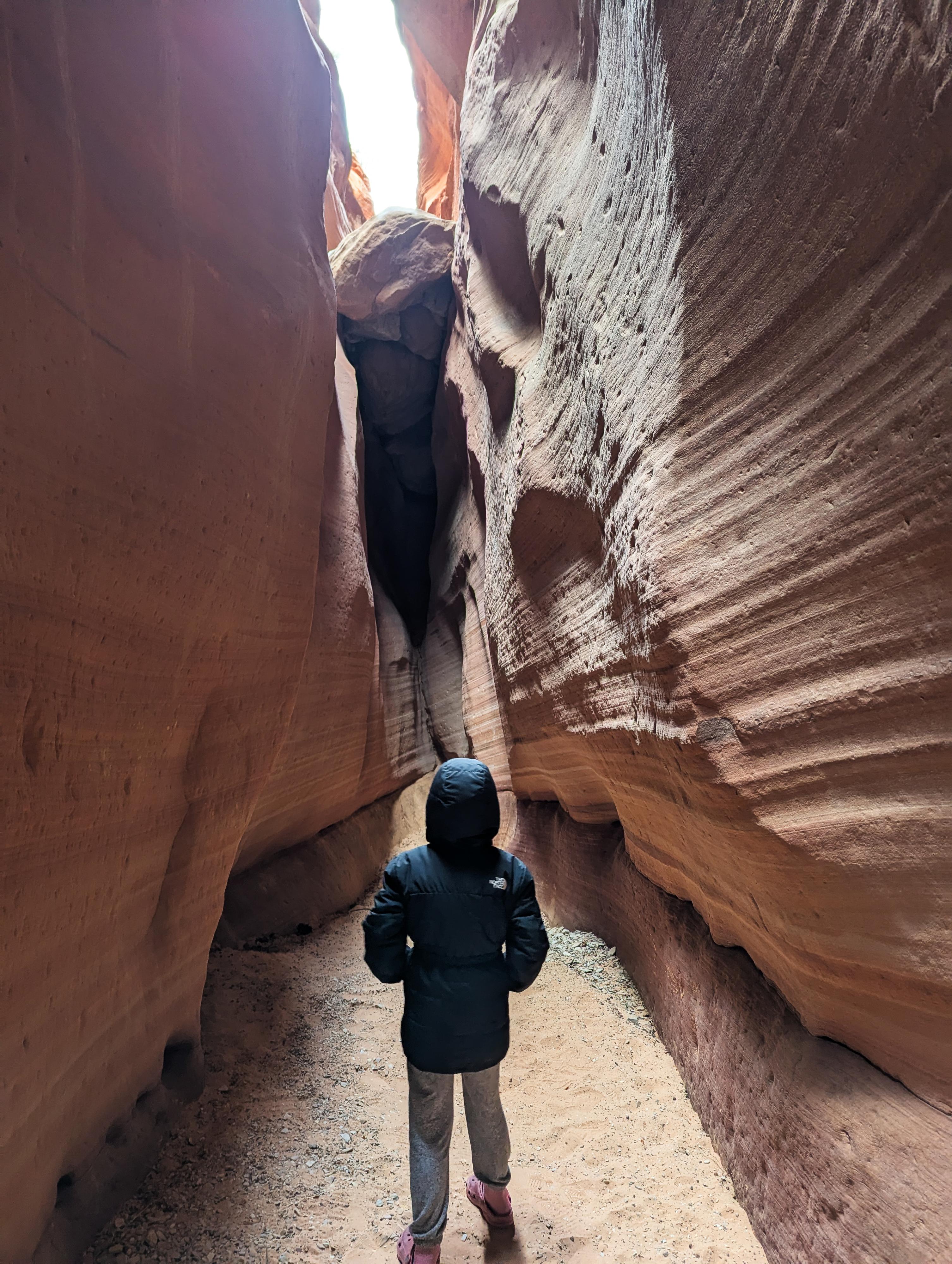
Continuing up the canyon, it soon narrows again. In the final section of narrows, you will likely notice a set of moki steps on the left. Very odd, I wonder why they were carved. They don't appear to go anywhere! The narrows soon end at a 20-25' dry fall. This final section of narrows is stunning, and differs depending on the time of day and season as the light bounces around the narrow canyon walls.
Return the way you came.
Maps
| Standard Trailhead |
12S 360254mE 4113224mN N37° 09' 18" W112° 34' 25" |
| 4x4 Trailhead |
12S 361581mE 4115910mN N37° 10' 46" W112° 33' 33" |
| Dryfall |
12S 361236mE 4116003mN N37° 10' 49" W112° 33' 48" |


