 Hiking The Sentinel
Antelope Island
Overview
|
Sat 70 | 50 |
Sun 59 | 49 |
Mon 55 | 42 |
Tue 64 | 42 |
Wed 62 | 48 |
| View Full Weather Details | ||||
|
Sat 70 | 50 |
Sun 59 | 49 |
Mon 55 | 42 |
Tue 64 | 42 |
Wed 62 | 48 |
| View Full Weather Details | ||||
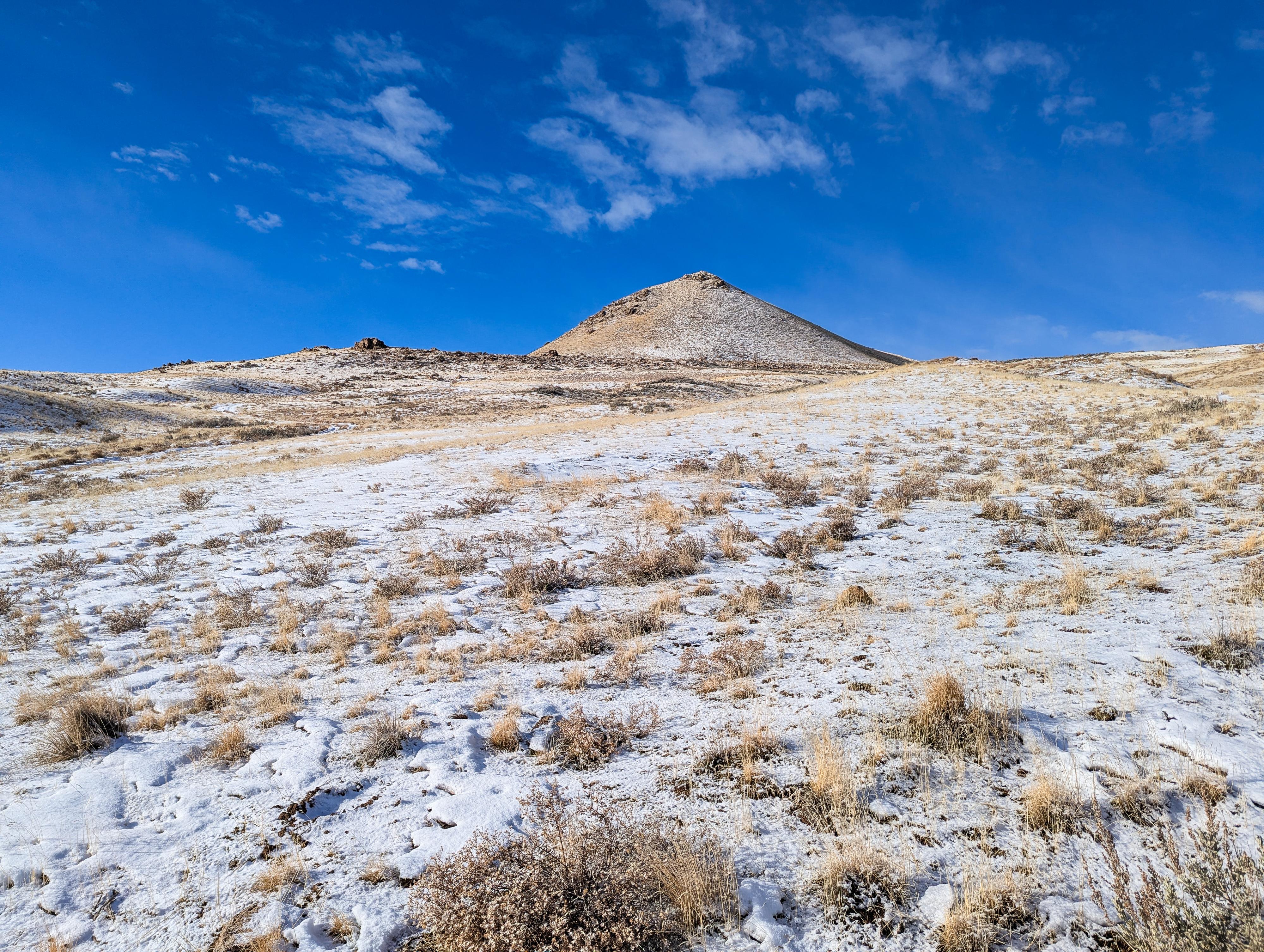
Sentinel Peak sits on the ridge of Antelope Island, just south of the Fielding Garr Ranch. The hike, starting near the ranch, ascends the east side of the island to the base of the Sentinel, then circles around the back of the peak with views of the south and west sides of the island, before returning.
This is a hike I expected to enjoy more than I did. Seeing the west side of the island from the ridge, the Great Salt Lake, and Stansbury Island are pretty, but going further on the West Side Trail to explore the west side to me was more interesting. The Sentinel is a good hike to get a small taste of the solitude and beauty of the west side of the island, but only a taste. Depending on when you hike, this can be a good hike for seeing wildlife.
Getting There
The trailhead is reach by first getting to Antelope Island. This is off I-15, west of Layton. Take exit 332 off I-15, and head west on Antelope Drive. About 7 miles from the freeway is the entrance to the park.
From the entrance to the park, cross the causeway and go left at the first junction after the causeway. Shortly after take the next left, staying on Antelope Road that is signed for Frary Peak. Follow this road about 11.3 miles to the trailhead that is signed, with a parking area on the left side of the road. The first 10.7 miles are paved, the last part is good, graded dirt road.
Route
Fielding Garr Trailhead
If hiking in the winter when the road is closed, and starting from the Fielding Garr Trailhead, head south on the road which turns to dirt at the gate, and follow it for 0.6 miles to the Sentinel Trailhead.
Sentinel Trailhead
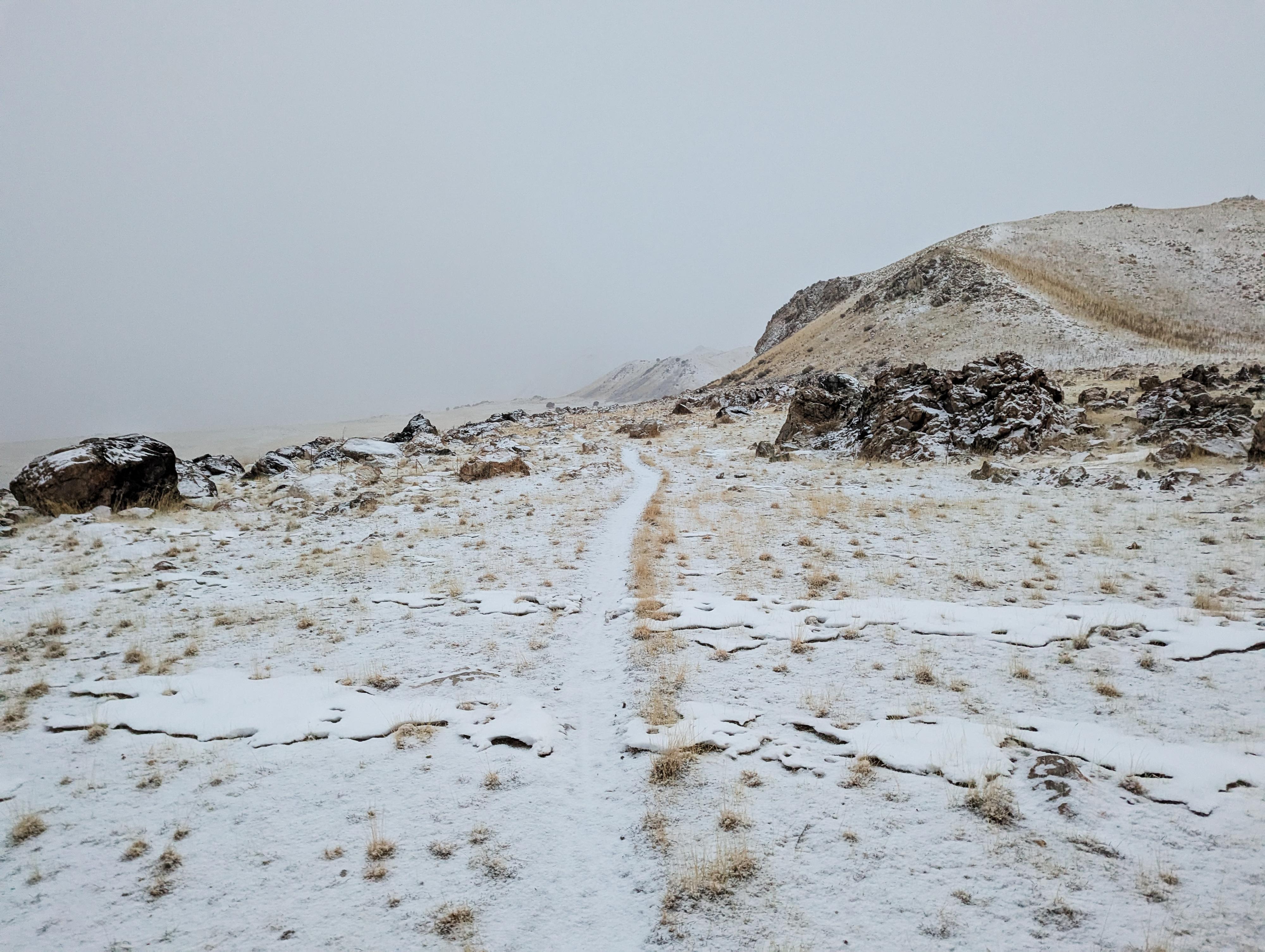
The trail, a two-track dirt road, heads west from the trailhead. About 0.9 miles from the trailhead, a spur road goes north to Mushroom Springs. The springs are 1 of about 40 springs on the island that provide freshwater to the island's wildlife.
Stay on the main trail as it gets steeper and switchbacks up.
About 1.9 miles from the Sentinel Trailhead, the road splits. This is the loop junction for the Sentinel. You can hike in either direction. I recommend going left here first. The trail climbs to the shoulder of the Sentinel and you get the first views of the west side of the island, the Great Salt Lake, and Stansbury Island in the distance.
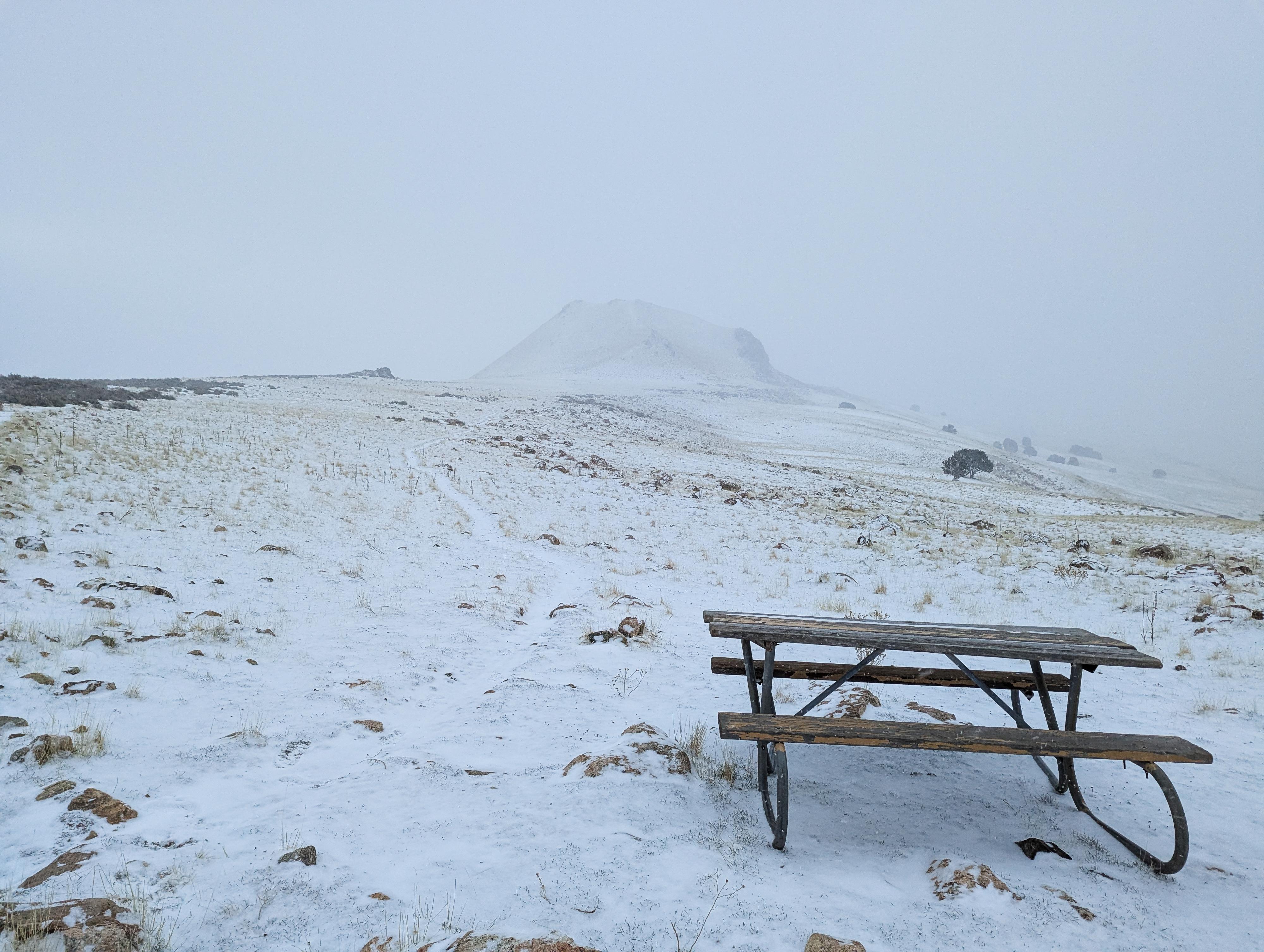
Continue on the dirt road to the west side of the Sentinel to a signed junction and picnic table that marks the backside of the loop. Go right, north, on the single track trail as it passed behind the Sentinel and meets with a two-track dirt road on the north side. There is a picnic table at this north junction as well. Go right on the two-track as it descends back to the loop junction, and then back down to the trailhead.
Maps
| Fielding Garr Trailhead |
12T 401526mE 4531304mN N40° 55' 37" W112° 10' 10" |
| Winter Gate |
12T 401555mE 4531185mN N40° 55' 33" W112° 10' 09" |
| Sentinel Trailhead |
12T 401263mE 4530341mN N40° 55' 06" W112° 10' 21" |
| Sentinel Loop Junction |
12T 399612mE 4530371mN N40° 55' 06" W112° 11' 32" |
| Jct South |
12T 399030mE 4529868mN N40° 54' 49" W112° 11' 56" |
| Sentinel Peak |
12T 399152mE 4530226mN N40° 55' 01" W112° 11' 51" |
| Jct North |
12T 398949mE 4530917mN N40° 55' 23" W112° 12' 00" |


