 Hiking The Grotto in Hornet Canyon
Farmington
Overview
|
Sat 76 | 52 |
Sun 64 | 51 |
Mon 59 | 45 |
Tue 70 | 44 |
Wed 68 | 51 |
| View Full Weather Details | ||||
|
Sat 76 | 52 |
Sun 64 | 51 |
Mon 59 | 45 |
Tue 70 | 44 |
Wed 68 | 51 |
| View Full Weather Details | ||||
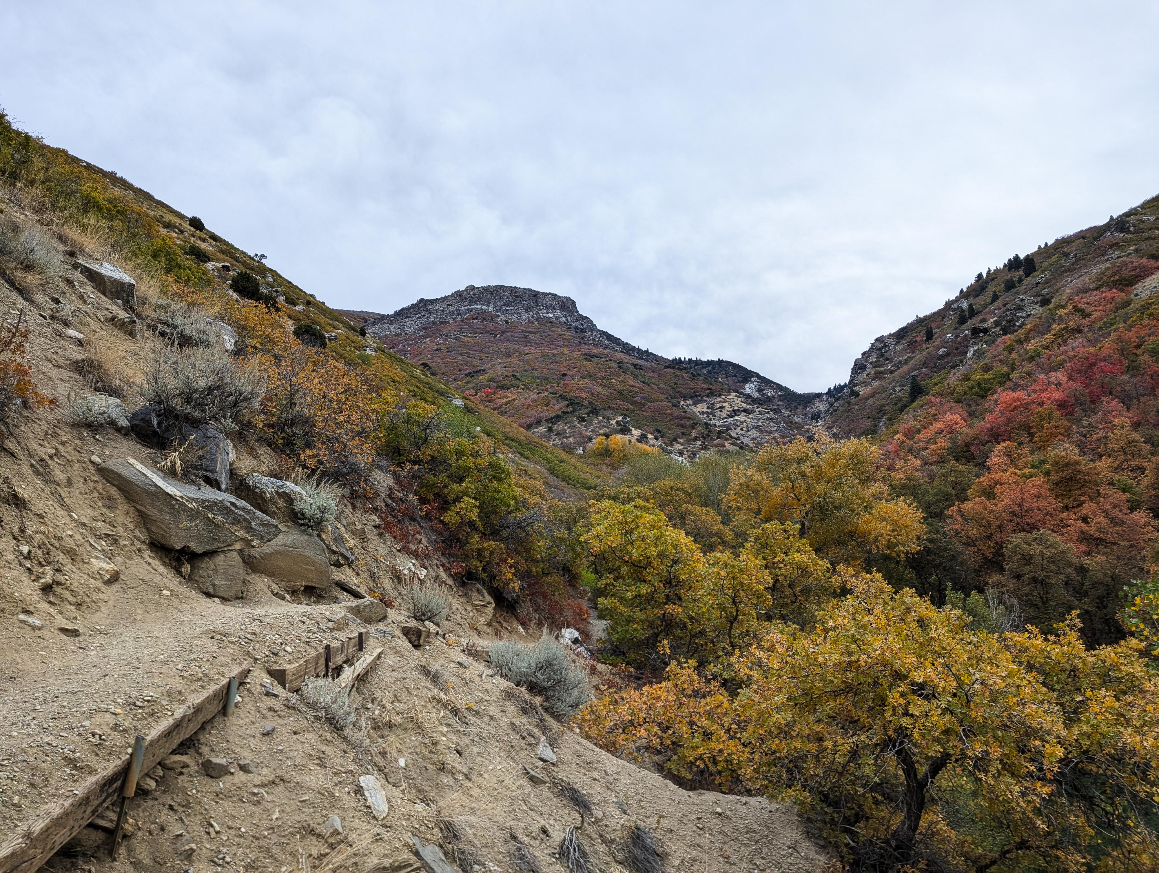
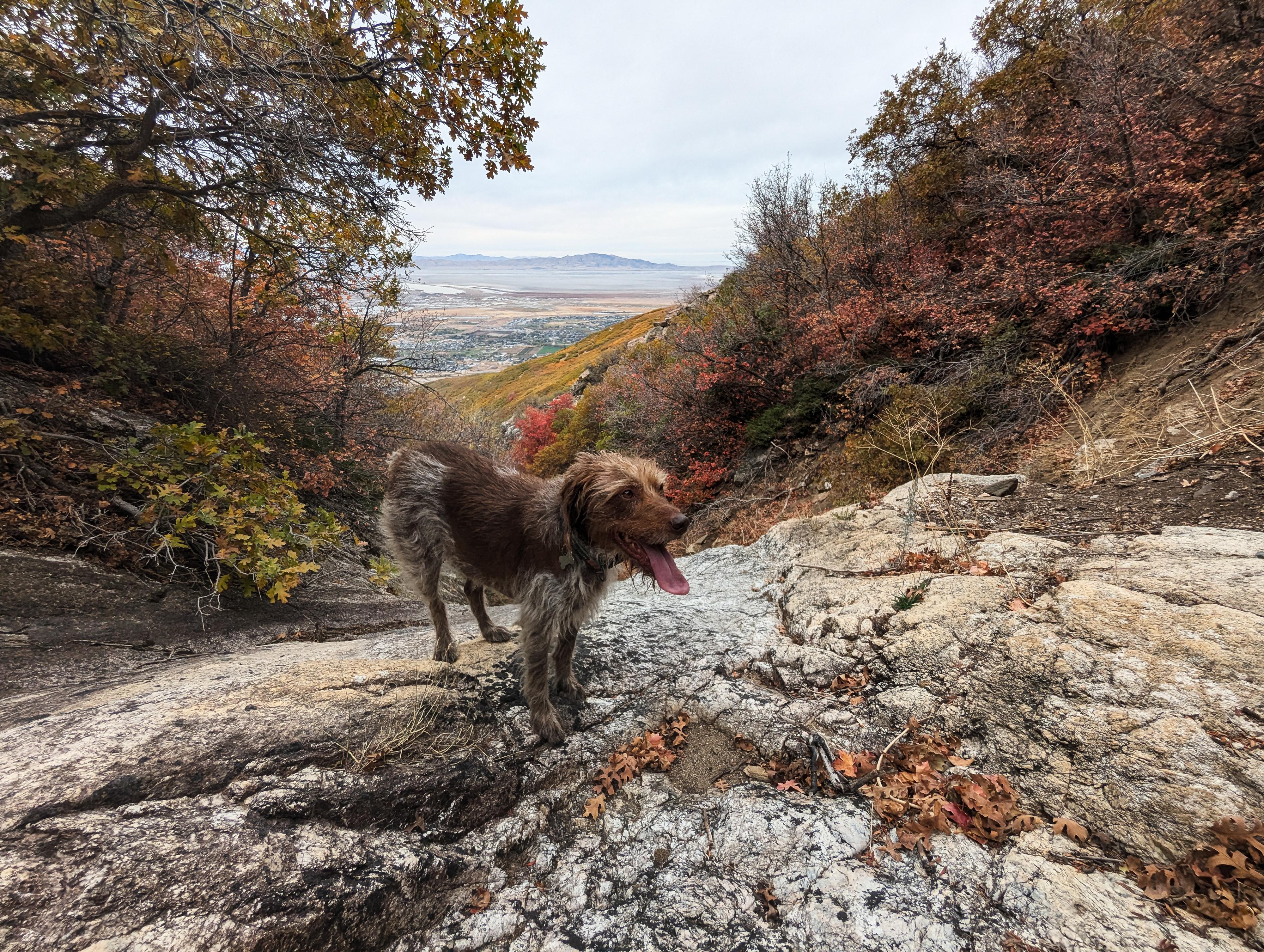
The Grotto in Hornet Canyon is about a 2.75 miles round-trip hike near Farmington up Steed Canyon, then Hornet Canyon. The trail is steep, narrow, and rugged. On our visit, there were even a few fixed ropes on the steeper parts to help as a hand line. This is a bit of a challenging hike. We took our well-experienced 7-year-old on the hike, and she enjoyed it, but be prepared for steep and loose challenges. Many beginner hikers might not find this trail enjoyable.
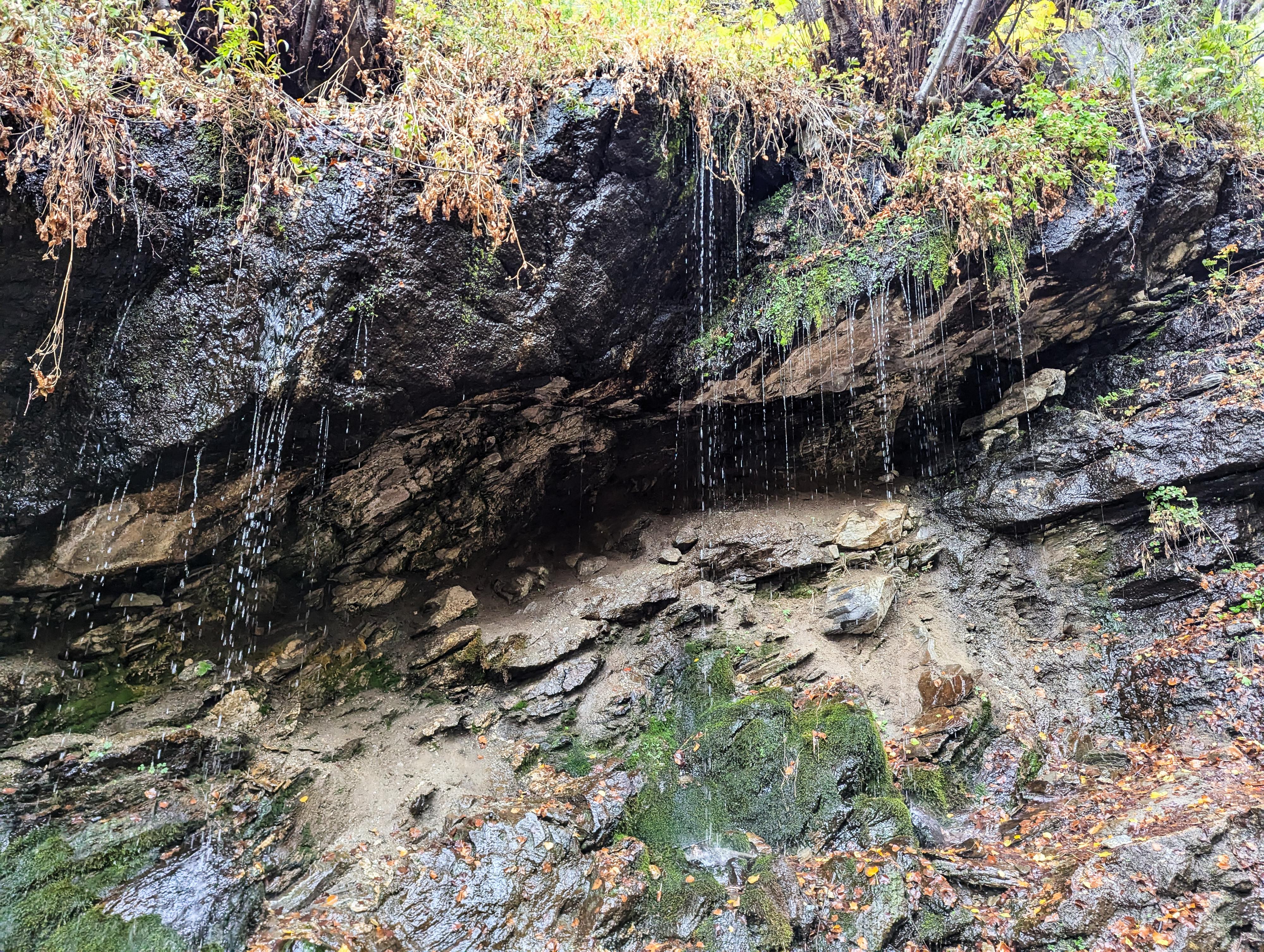
The grotto itself is a treat, especially on a hot day. The grotto has dripping springs and a very lush feel.
Route
From the trailhead, cross the road to an old dirt road with a gate. Cross through the gate and follow the trail north. This is scheduled to be part of the Bonneville Shoreline trail. Follow the road as it heads along the base of the foothills. About 1/2 mile from the trailhead is a junction. Either way works, both coalesce in a short distance. Left is the old dirt road, right is a single track. The two paths come together and cross Steed Creek. Once across Steed Creek, the Steed Creek side trail leaves on the right. It is a steep, narrow path with a sign "Steed Creek Trail" somewhat hidden in the bushes near the trail. This is less than a minute after the road crosses Steed Creek.
Follow the Steed Creek Trail as it climbs, high above Steed Creek. The trail is fairly steep and narrow in spots. In only about 1/3 of a mile once you are on the Steed Creek Trail is a signed junction. This is the loop junction to visit Hornet Grotto.
To The Grotto
Go right at this first junction. The trail quickly crosses Hornet Creek. Go left just after crossing Hornet Creek on the trail that follows Hornet Creek upstream. The section from here to the grotto has several steep sections. Follow the trail, with one more junction you stay left at, to the grotto proper that is in Hornet Creek.
Return Loop
From the grotto, if making a loop out of the hike, find the trail on the west side of Hornet Creek. It crosses just about where you reached Hornet Creek from the east side, but can be a little difficult to spot. This return trail is steep and loose climbing out of Hornet Creek, then reaches a junction.
Side Trip - Upper Falls (1 mile round-trip)
From the junction, you can go right and follow the trail for about 0.5 mile up a rather steep route to an Upper Falls. Stay right at the only junction encountered, about 1/2 mile up.
Even on our late fall visit, the Upper Falls had a trick of water coming over it. Spring, during runoff, is likely far more dramatic. The trail is steep and requires a close eye in a few spots, but a work the side trip.
Return Loop From Junction
Go left at the Upper Falls / Loop Return Junction. The trail descends, but less steeply than the previous sections of trail. It re-joins the main trail once down to Hornet Creek.
Turn right to re-trace your tracks back down along Steed Creek and back to the trailhead.
| Trailhead |
12T 426526mE 4535456mN N40° 58' 01" W111° 52' 23" |
| Jct - Either |
12T 426568mE 4536102mN N40° 58' 22" W111° 52' 22" |
| Steed Canyon Junction |
12T 426598mE 4536242mN N40° 58' 27" W111° 52' 21" |
| Loop Junction |
12T 426973mE 4536316mN N40° 58' 29" W111° 52' 05" |
| Grotto |
12T 427274mE 4536614mN N40° 58' 39" W111° 51' 52" |
| Jct - Upper Falls / Loop Return |
12T 427152mE 4536586mN N40° 58' 38" W111° 51' 57" |
| Jct |
12T 427326mE 4536762mN N40° 58' 44" W111° 51' 50" |
| Upper Falls |
12T 427739mE 4536899mN N40° 58' 48" W111° 51' 32" |


